History · Sint Maarten
Sint Maarten: The Dutch Half
The southern part of an island shared with France since 1648 — a Dutch salt and sugar colony, long the neglected junior partner of Curaçao, transformed by an airport and mass tourism, and since 2010 a self-governing country within the Kingdom of the Netherlands
By Worldlore Editorial · 10 September 2026
The southern half
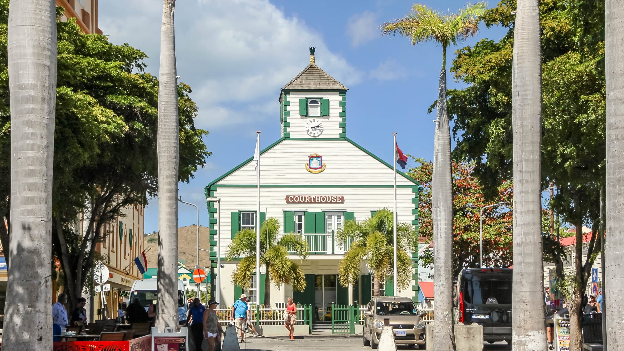
Sint Maarten is the Dutch southern portion — about 34 square kilometres — of an island whose northern 60 per cent is the French collectivity of Saint-Martin. It has around 44,000 people, its own government, and the status of a "country" within the Kingdom of the Netherlands. The border with the French side is open and marked only by a monument. Sint Maarten's history is the same 1648 partition seen from the south: a salt and plantation colony, then a long spell as a minor dependency ruled from Curaçao, and finally a late, tourism-driven transformation.
A short history
- pre-1600s
Soualiga
The Kalinago name the island "Land of Salt".
- 1631–1648
Dutch and Spanish
The Dutch build a fort; Spain seizes it, then abandons it in 1648.
- 1648
Treaty of Concordia
France and the Netherlands divide the island.
- 17th–18th c.
Salt and sugar
The southern salt ponds and plantations worked by enslaved Africans.
- 1863
Abolition
The Netherlands ends slavery in its Caribbean colonies.
- 1848–1954
Ruled from Curaçao
Sint Maarten is a district of the Dutch Windward/Leeward colony.
- 1954
Netherlands Antilles
Autonomy within the Kingdom, still centred on Curaçao.
- 1943 / 1964
The airport
Princess Juliana airport is built and then expanded for jets.
- 2010
"Country" status
The Netherlands Antilles is dissolved; Sint Maarten becomes a country.
- 2017
Hurricane Irma
A Category 5 storm devastates the island.
Salt, sugar, and slavery
The Dutch were interested in the island for the same reason the Kalinago name implied: salt, essential for the herring fishery that was a pillar of the Dutch economy. Dutch settlers established a foothold in 1631; Spain captured the island in 1633 to deny it to its enemies, then withdrew its garrison in 1648, and the French and Dutch already present agreed by the Treaty of Concordia to split it. The Dutch side developed salt-raking at the Great Salt Pond behind what is now Philipsburg (founded 1763 and named for a Scottish commander in Dutch service), along with sugar and cotton plantations worked by enslaved Africans, who became the great majority of the population. The Netherlands abolished slavery in 1863, later than Britain or France, and the plantation economy declined thereafter into subsistence farming, salt, and emigration for work.
The junior partner
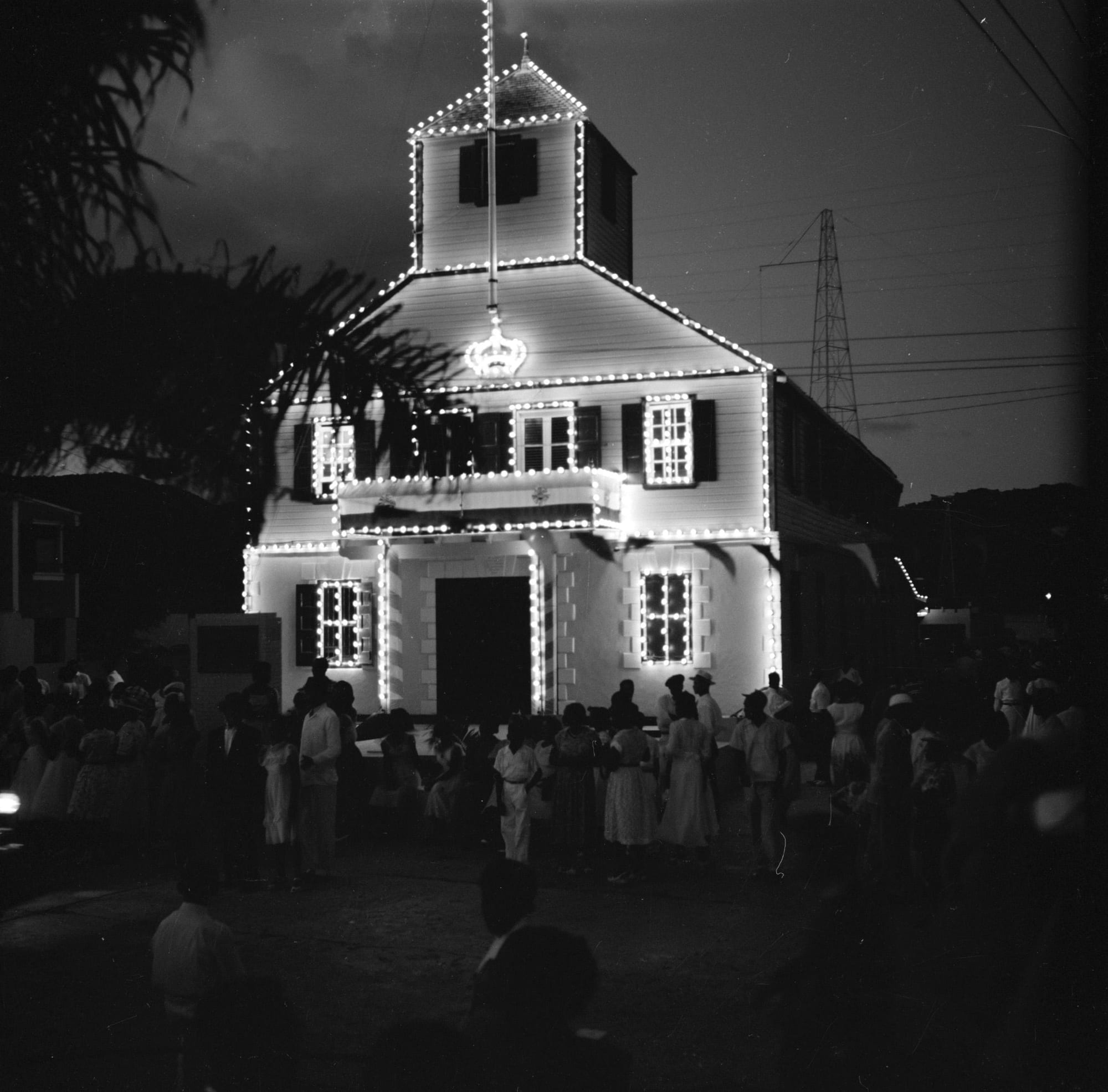
Through the 19th and early 20th centuries Sint Maarten was one of the "Windward Islands" of the Dutch Caribbean (with Saba and Sint Eustatius), governed as part of the colony of Curaçao and its dependencies. When the Netherlands Antilles gained internal autonomy within the Kingdom in 1954, Sint Maarten remained a small, outvoted island within a federation dominated by Curaçao and Aruba. Its population in the 1950s was only a few thousand, and many Sint Maarteners worked on the oil refineries of Curaçao and Aruba or migrated further afield.
The airport and the boom
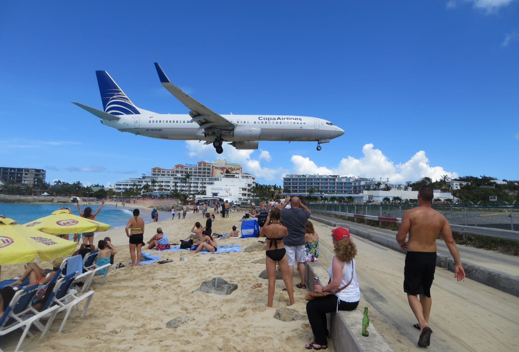
The turning point was aviation. A military airstrip built in 1943 was developed into Princess Juliana International Airport, and its expansion to take jet airliners in the 1960s opened Sint Maarten to mass tourism at a moment when the Caribbean was becoming a major holiday destination. Duty-free shopping in Philipsburg, cruise-ship calls, casinos and resorts drove decades of rapid growth and heavy immigration from across the Caribbean, Latin America and beyond, so that Sint Maarten became far more populous and prosperous than its Windward neighbours — and increasingly resentful of governance from Curaçao.
Country status, and Irma
In referendums in 2000, Sint Maarten voted for its own status within the Kingdom. The Netherlands Antilles was dissolved on 10 October 2010, and Sint Maarten became a "country" (land) within the Kingdom of the Netherlands, alongside the Netherlands, Aruba and Curaçao — self-governing in internal affairs, with the Kingdom responsible for defence and foreign policy and retaining oversight of good governance. On 6 September 2017 Hurricane Irma struck the island head-on as a Category 5 storm, wrecking much of the housing stock, the airport and the power grid and killing several people. The Netherlands tied a large reconstruction fund to conditions on border control and financial management, which Sint Maarten's government accepted amid friction over sovereignty.
What Sint Maarten carries
Sint Maarten has been the southern half of a shared island since 1648, and for most of that time the smaller, poorer, more distant part of a Dutch Caribbean run from elsewhere. The airport changed that in a single generation, making it a tourism economy dense with people from everywhere. Country status in 2010 gave it self-government; Hurricane Irma in 2017 showed how exposed that new country is, both to the weather and to the terms of its dependence on the Netherlands.