History · Saint-Martin
Saint-Martin: Half an Island
The French northern half of the smallest landmass shared by two nations — a salt-and-sugar colony divided with the Dutch since 1648, governed for centuries from Guadeloupe, made its own French collectivity in 2007, and flattened by Hurricane Irma in 2017
By Worldlore Editorial · 19 September 2026
The divided island
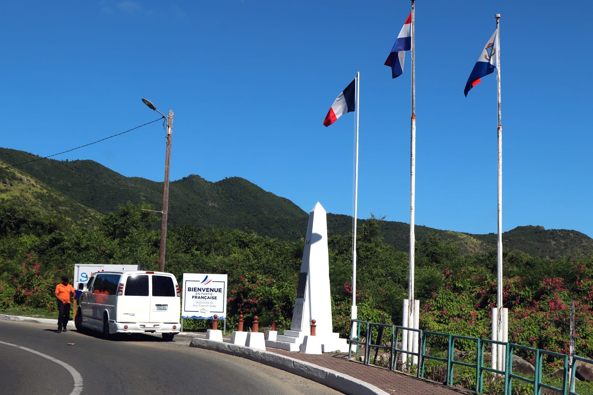
Saint-Martin, in the northern Lesser Antilles, is 87 square kilometres of hills, lagoons and beaches shared by two countries: the northern 60 per cent is the French collectivity of Saint-Martin, the southern 40 per cent the Dutch territory of Sint Maarten. There is no border control between them, only a monument and a change of language and currency. The French side has about 32,000 people. The partition, made in 1648 and never seriously redrawn, makes this the smallest land area in the world divided between two nations — and this article covers the French north.
A short history
- pre-1600s
Kalinago Soualiga
The "Land of Salt" is used for its salt ponds.
- 1631–1648
Spanish, then abandoned
Spain fortifies the island, then withdraws.
- 1648
The Treaty of Concordia
France and the Netherlands agree to share the island.
- 17th–18th c.
Salt and sugar
Salt ponds and plantations worked by enslaved Africans.
- 1848
Abolition on the French side
Slavery ends in the French colonies.
- 1946
Part of Guadeloupe
The French side becomes a commune of the department.
- 1980s–2000s
The tourism boom
Duty-free status drives rapid, largely unplanned development.
- 2003
Referendum
Residents vote to separate from Guadeloupe.
- 2007
Collectivity
Saint-Martin becomes a distinct French overseas collectivity.
- 2017
Hurricane Irma
A Category 5 storm devastates the island.
Sharing an island
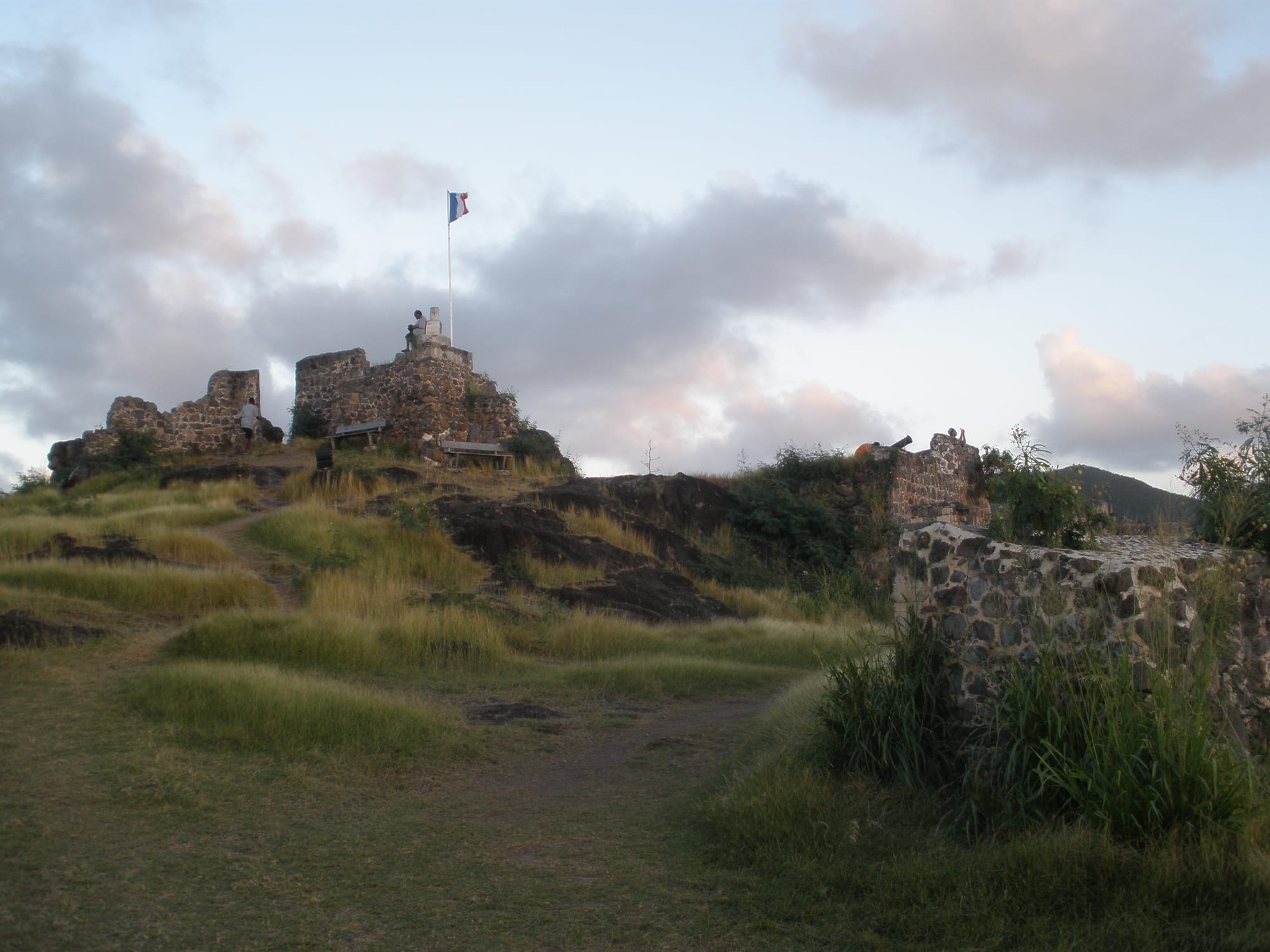
The Kalinago called the island Soualiga, "Land of Salt", for the ponds that would shape its economy. Columbus sighted it in 1493 on Saint Martin's day. Spain built a fort in 1633 to deny it to rivals but abandoned the position in 1648; French and Dutch settlers already present then agreed, by the Treaty of Concordia signed on 23 March 1648, to divide the island between them and coexist. Tradition tells of a walking contest to fix the line; in practice the border shifted with the fortunes of war a number of times before settling roughly where it is now. The French side developed salt-raking and, in the drier parts, cotton, tobacco and sugar, all worked by enslaved Africans who soon formed the great majority of the population.
Slavery, freedom, and neglect
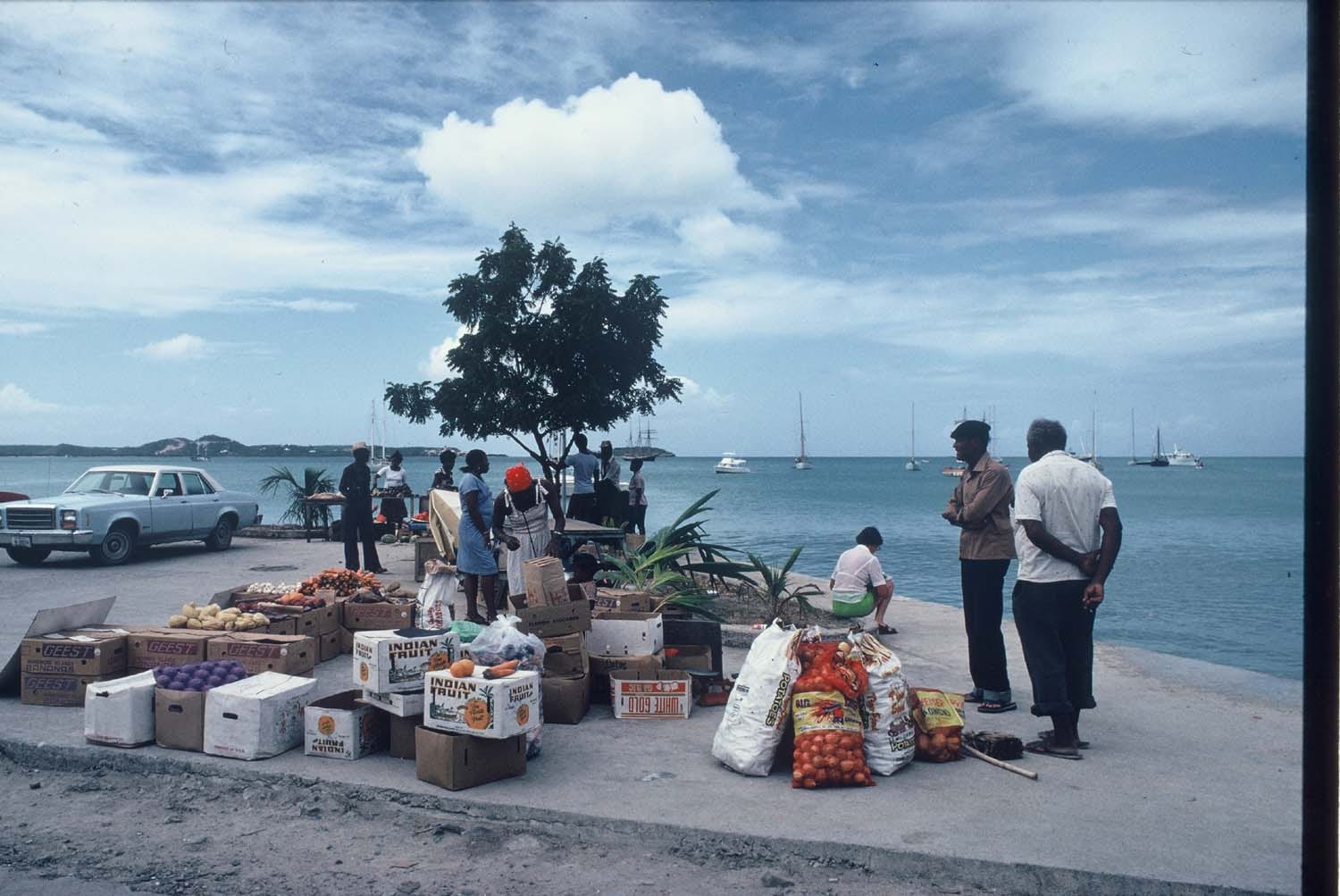
Sugar on Saint-Martin was never as productive as on the large islands — the terrain and rainfall did not allow it — and the economy leaned heavily on salt and on provisioning ships. France abolished slavery in its colonies in 1848; on the Dutch side, emancipation came only in 1863, and in the intervening years enslaved people crossed the invisible border to claim their freedom. For the next century the French side was a quiet, poor dependency, administered as part of Guadeloupe far to the south, its people relying on fishing, salt, small farming, and migration to find work.
Boom, and self-government
From the 1970s and especially the 1980s, Saint-Martin transformed. Its duty-free status, the airport on the Dutch side, and French tax incentives for building in the overseas territories drove an explosive tourism and construction boom — hotels, marinas and villas — that multiplied the population several times over with arrivals from mainland France, Haiti, the Dominican Republic and across the Caribbean, and outran the island's roads, water and planning. Feeling ill-served by distant Guadeloupe, residents voted in a 2003 referendum to separate, and on 15 July 2007 Saint-Martin became its own French overseas collectivity, with an elected territorial council holding powers over taxation, tourism, planning and roads.
Irma, and after
On 6 September 2017 Hurricane Irma, one of the strongest Atlantic hurricanes on record, passed directly over the island with sustained winds above 280 km/h. It destroyed or damaged the great majority of buildings on both sides, killed 11 people on the French side, and knocked out power, water and communications for weeks. Reconstruction has been slow and contentious, entangled with disputes over building standards, insurance, and the French state's role, and the island remains economically fragile and highly exposed to the next storm.
What Saint-Martin carries
Saint-Martin has been half of a shared island for nearly four centuries, an arrangement born of a 1648 compromise that simply never broke down. Its French half spent most of that time as an afterthought governed from Guadeloupe, was remade in a single generation by duty-free tourism, and won its own institutions only in 2007. Hurricane Irma exposed how much of that recent growth was built lightly and fast — and how much of the island's future depends on rebuilding it better.