Attractions & Natural Wonders · Nauru
Nauru: Five Attractions and Natural Wonders
The world's smallest island nation — a coral atoll mined almost hollow for phosphate, a single lagoon left untouched at its centre, and rusting relics of a brutal Pacific war
By Worldlore Editorial · 9 September 2026
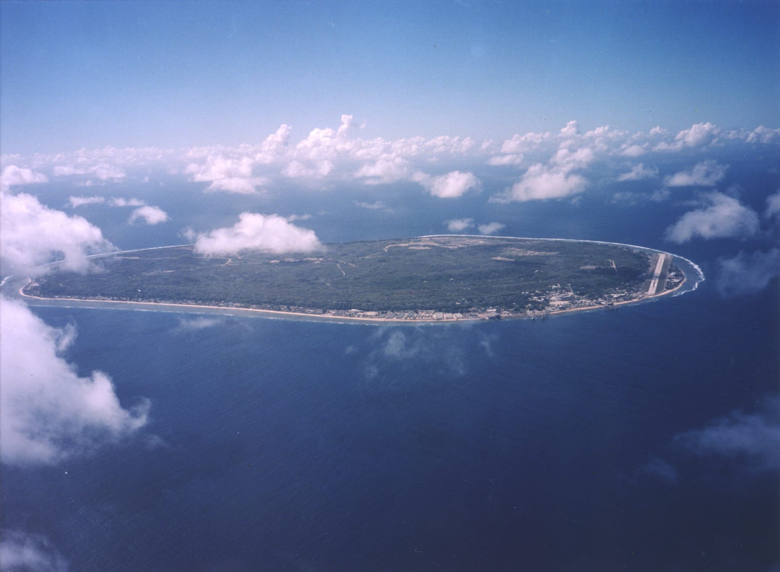
The smallest republic on earth
Nauru, a single raised coral island in the central Pacific, is the world's smallest island nation and the third-smallest country of any kind (after Vatican City and Monaco) — about 21 square kilometres and 12,000 people. For most of the 20th century it was one of the richest countries per capita on earth, its interior strip-mined for phosphate (fossilised bird guano) that fertilised farmland worldwide; when the phosphate ran low, the boom collapsed, leaving a landscape of bare limestone pinnacles across most of the island's centre. It has no official capital; government buildings are spread around the Yaren district.
The five below cover what is, essentially, a single small island that can be circled by road in about 30 minutes. It is hot and humid year-round.
1. Topside and the phosphate story
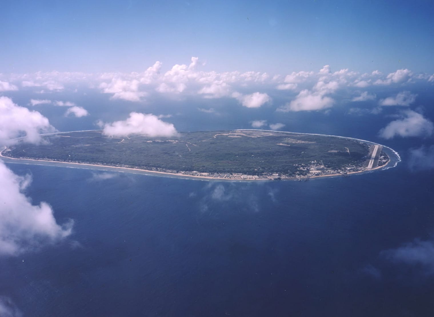
Around 80 percent of Nauru's interior, known locally as "Topside", was strip-mined for phosphate from 1906 until reserves became largely uneconomical in the 1990s, leaving a stark landscape of jagged coral-limestone pinnacles where topsoil and vegetation once stood. It is one of the starkest examples on earth of a small island economy built and then undone by resource extraction — and increasingly the subject of a slow, difficult rehabilitation effort. Driving or walking across it gives a vivid, sobering sense of the island's 20th-century history.
Most residents live on the narrow coastal strip that Topside surrounds.
2. Buada Lagoon
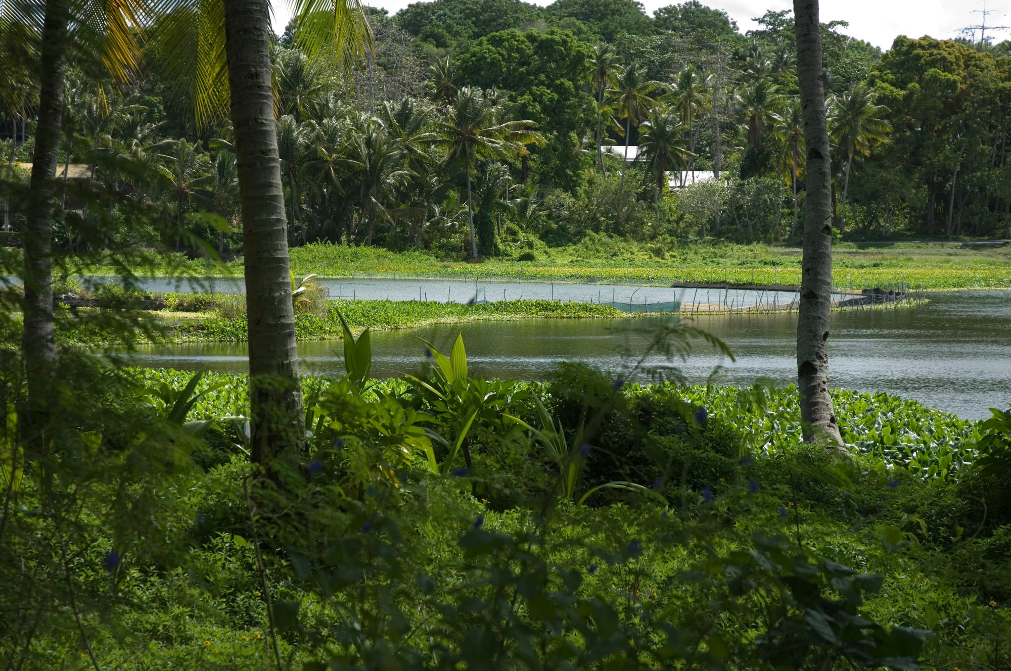
Buada Lagoon, a small freshwater lake in a depression toward the island's interior, is one of the few parts of Nauru not consumed by mining, and remains a green, cultivated pocket where residents grow bananas, pandanus, and other crops and raise milkfish in the lagoon itself. It offers a rare contrast to the starkness of Topside nearby and a glimpse of what more of the island once looked like.
A small ring road and village surround the lagoon, easily visited on the island's short main loop drive.
3. Anibare Bay

Anibare Bay, on the island's east coast, has Nauru's best stretch of sandy beach and its small boat harbour, used by local fishermen. It is a popular spot for weekend gatherings and one of the more scenic corners of the island's otherwise largely rocky coastline, with views out to open Pacific water in every direction.
It sits along the island's single 19-kilometre coastal ring road.
4. WWII history
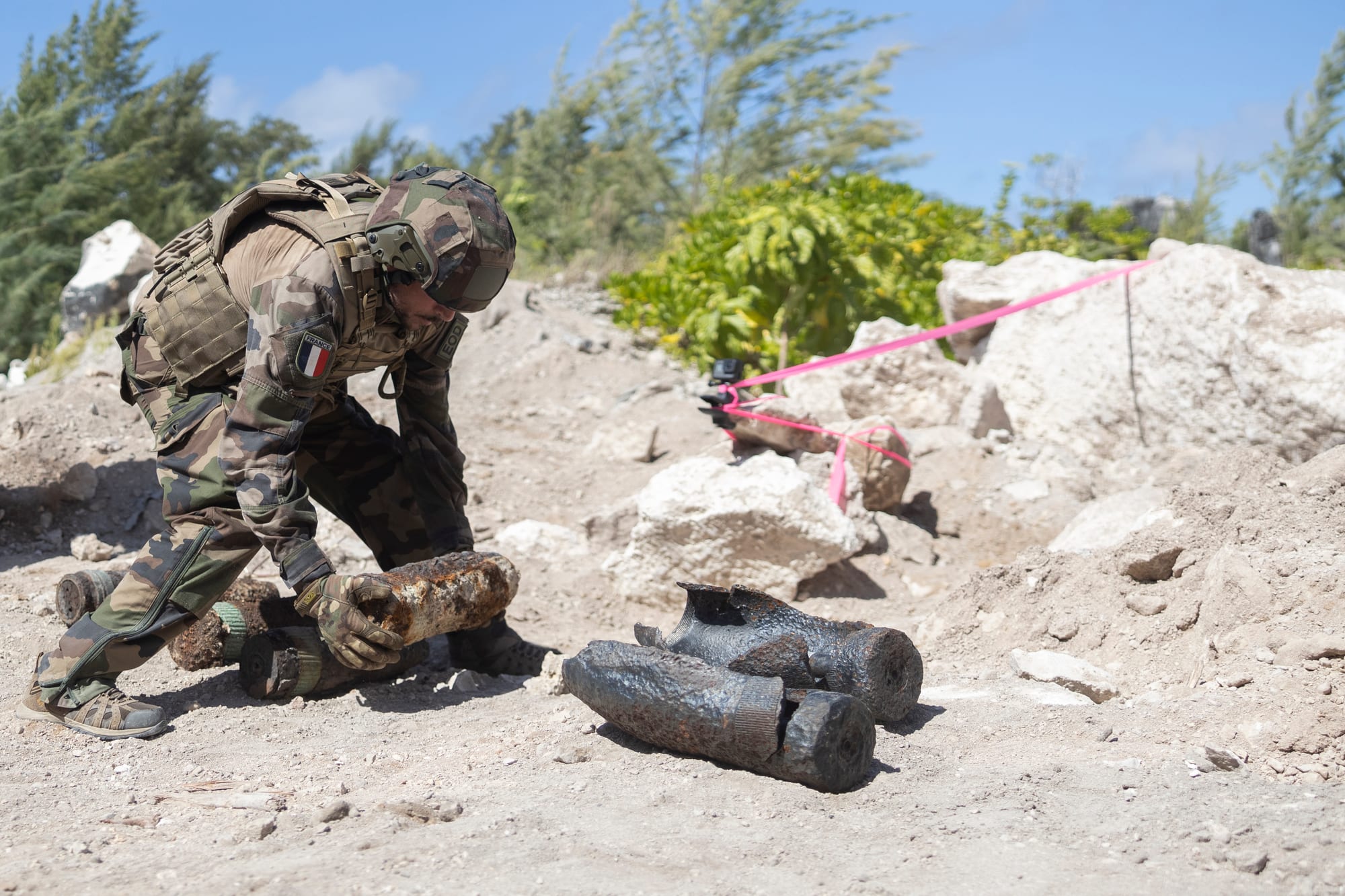
Nauru was occupied by Japan from 1942 to 1945, who built an airstrip, coastal guns, and bunkers and deported much of the population to forced labour on other Pacific islands, from which many never returned — a period still central to Nauruan national memory. Rusting Japanese gun emplacements, bunkers, and other relics remain scattered around the island's coast, and unexploded ordnance clearance operations, run jointly with Australian and US forces, have continued into the 2020s.
Local guides can point out the more accessible wartime sites along the coast road.
5. The coastal ring road and airport
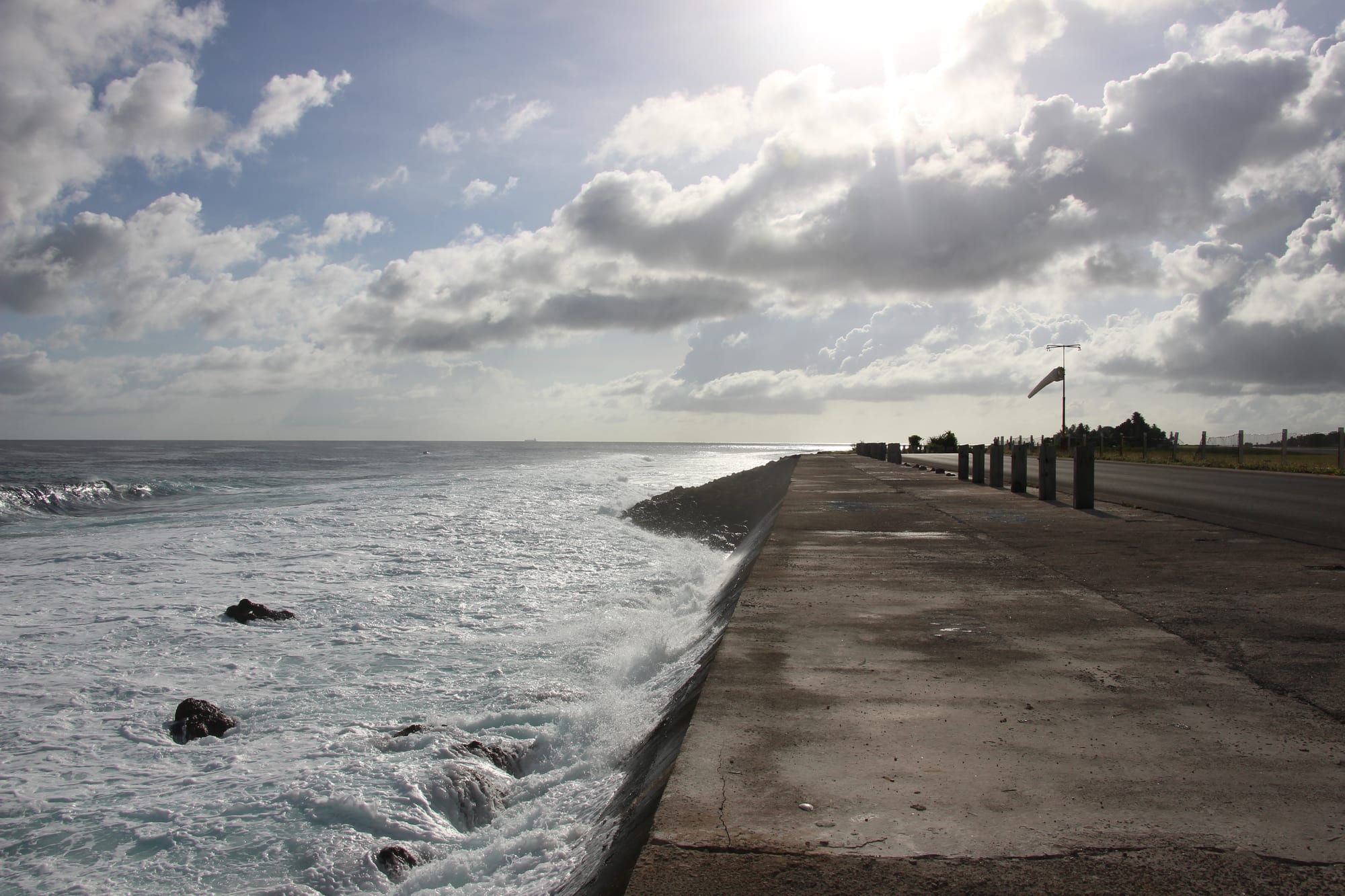
Nearly all of Nauru's population, services, and its single runway are squeezed onto the narrow coastal strip between the ocean and the mined Topside plateau — a vulnerability that makes coastal erosion and sea-level rise a serious, practical concern rather than an abstract one. The full ring road loop, with the ocean on one side and the mining scars visible inland, gives visitors the clearest possible sense of the whole island in under an hour.
Nauru has, like other small island states, been an outspoken voice in international climate forums on this issue.
Nauru is a genuinely unusual, very small destination reached by limited flights via Brisbane or Nadi — most visits are short, a few days at most, focused on understanding the island's mining history, its wartime past, and its coastline.