Attractions & Natural Wonders · Montserrat
Montserrat: Five Attractions and Natural Wonders
A Caribbean island whose capital was buried by its own volcano — the 'Emerald Isle' that lost two-thirds of its population and has spent thirty years living beside an active eruption
By Worldlore Editorial · 9 September 2026
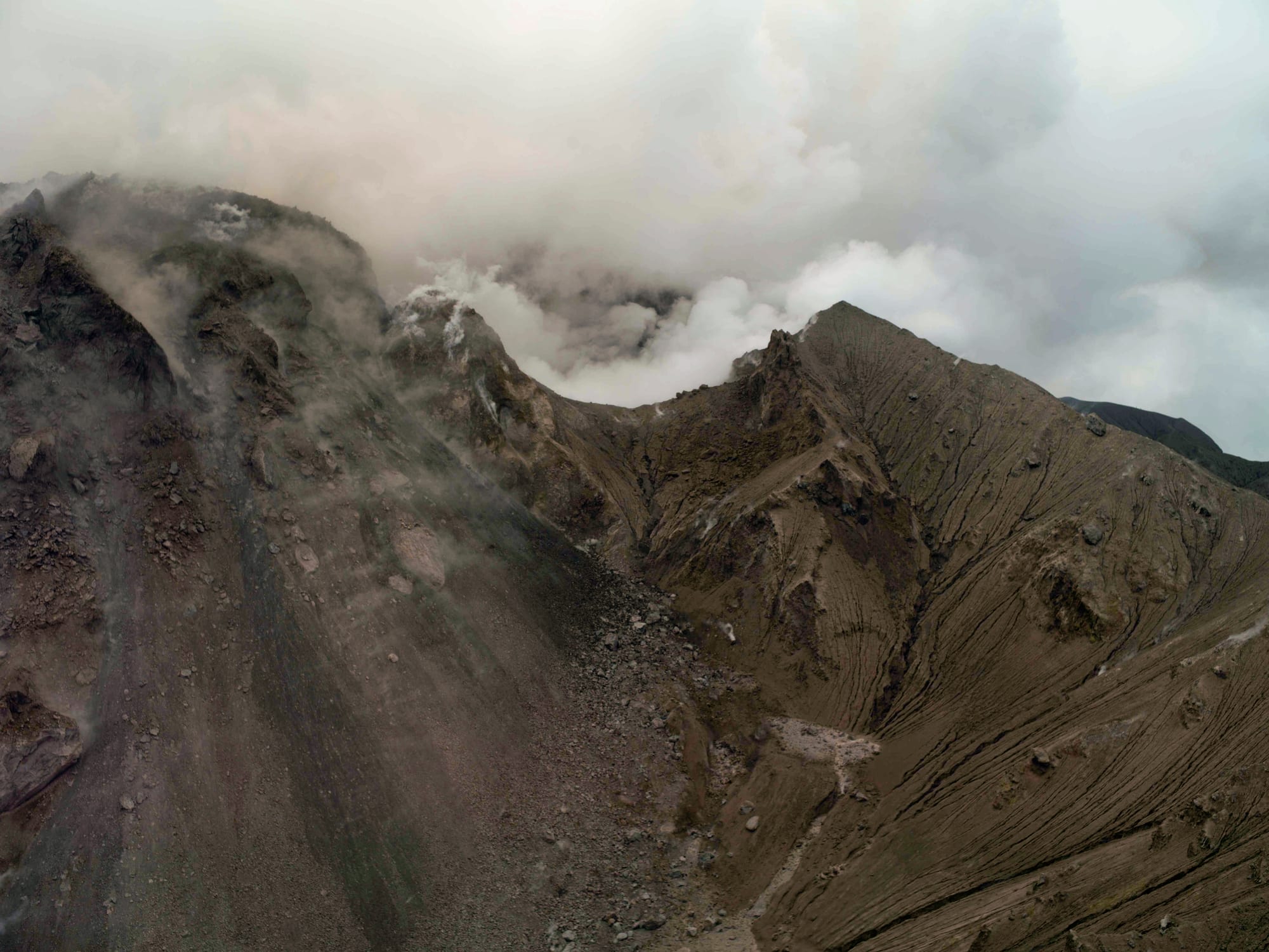
The island that lost its capital to a volcano
Montserrat, a small British Overseas Territory in the Leeward Islands, was known before 1995 mainly as a quiet, lush "Emerald Isle" retreat, home to the AIR Studios where the Beatles, the Police, and other major artists recorded. That year, the previously dormant Soufrière Hills volcano began erupting, and over the following years destroyed the capital, Plymouth, forced the evacuation of about two-thirds of the island, and cut the population from roughly 12,000 to under 5,000. The volcano remains active and closely monitored, and roughly the southern half of the island is a permanently restricted exclusion zone.
The five below are almost all connected to that story. Montserrat is warm year-round; the hurricane season runs June to November.
1. The Soufrière Hills volcano
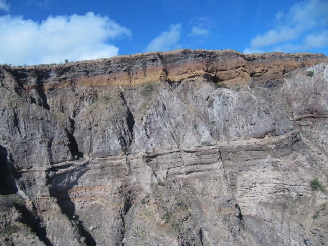
The Soufrière Hills volcano, dormant for centuries, began erupting in July 1995 and has continued in cycles of activity ever since, building and periodically collapsing a lava dome that has sent pyroclastic flows and ash across the island's southern two-thirds. It remains one of the most closely studied active volcanoes in the world and, from safe viewing points, one of the most accessible to observe.
The volcano's activity level changes over time; always check current status and access restrictions before planning a visit near it.
2. Plymouth, the buried capital
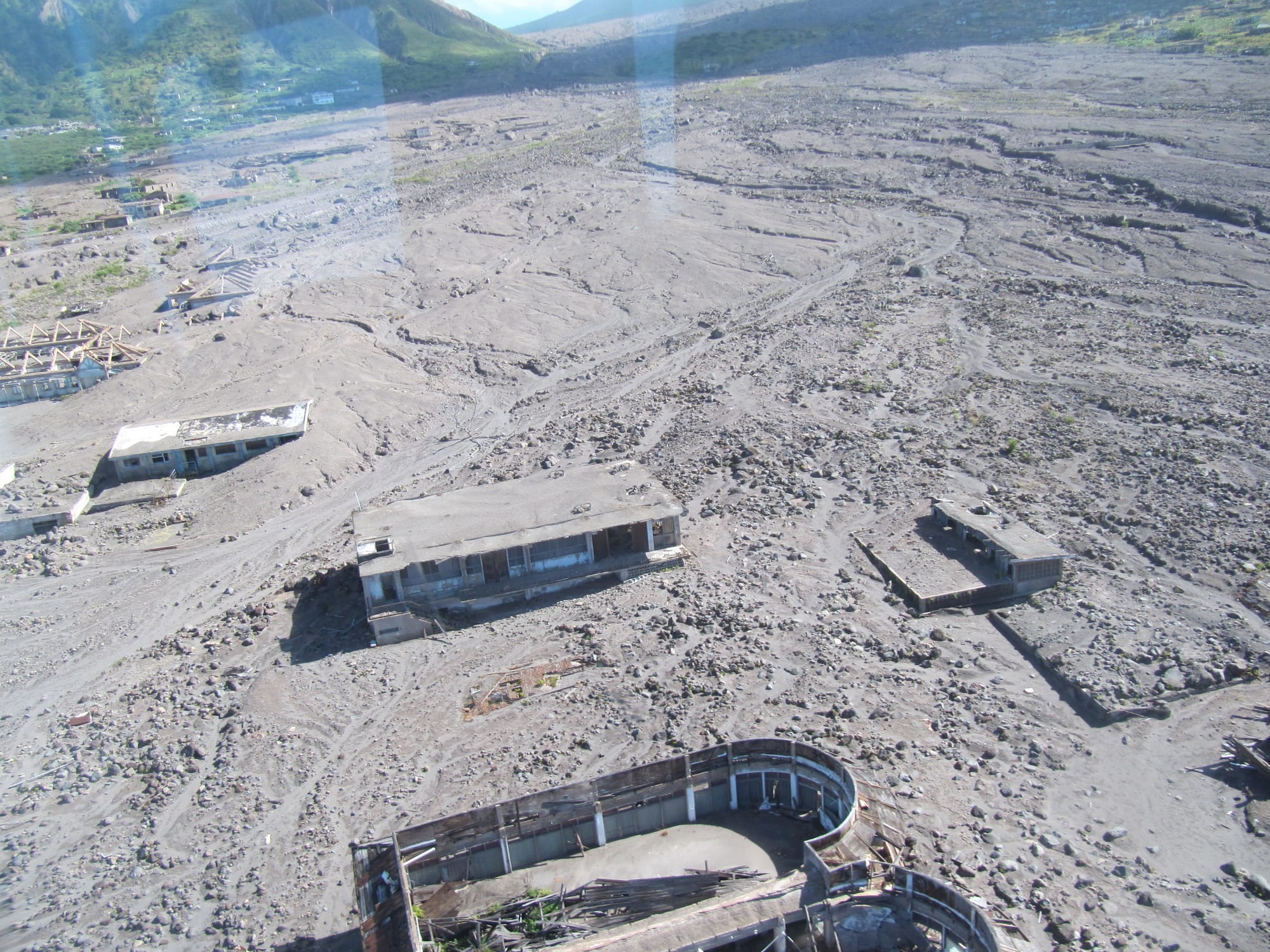
Plymouth, once a Georgian-era Caribbean capital of about 4,000 people, was progressively buried under metres of ash and volcanic mudflow (lahars) between 1995 and 1997, and abandoned entirely — it remains, officially, the only modern capital city ever completely destroyed and evacuated because of a volcano, and is sometimes called a "Caribbean Pompeii". Rooftops and upper floors of buildings still protrude from the ash in places.
Entry into Plymouth itself lies within the restricted exclusion zone and requires special permission and a licensed guide.
3. The exclusion zone
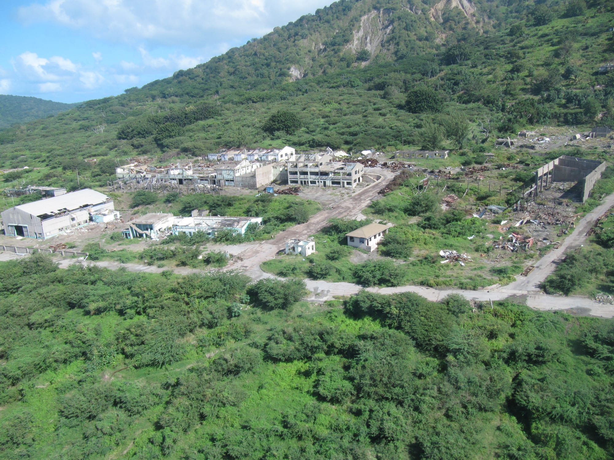
The southern half of Montserrat, including Plymouth and the former airport, is designated a permanent exclusion zone due to ongoing volcanic risk, its abandoned villages and roads left largely as they were when evacuated. Licensed tour operators run guided trips to viewpoints on the edge of the zone — including from boats offshore, which can approach closer to the old capital than is possible on land — giving a striking, sobering look at a landscape still being reclaimed by the volcano.
Independent entry into the zone is not permitted; all visits go through authorised guides.
4. The Montserrat Volcano Observatory
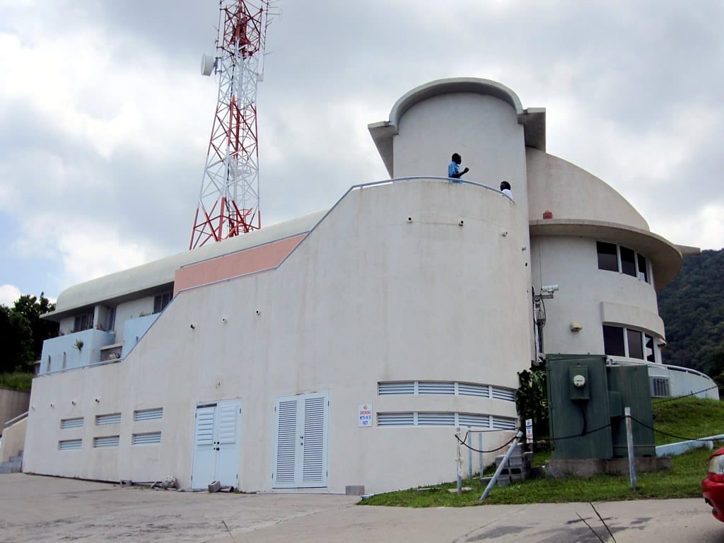
The Montserrat Volcano Observatory, staffed by scientists who have monitored the eruption continuously since it began, has an exhibition centre open to visitors with displays on the eruption's history, real-time seismic and volcanic monitoring, and a viewing deck looking toward the volcano and the buried zone beyond. It is the best single stop for understanding what happened and what is still happening geologically.
It sits on the edge of the inhabited north, a natural first stop before any tour further south.
5. Little Bay and the new north
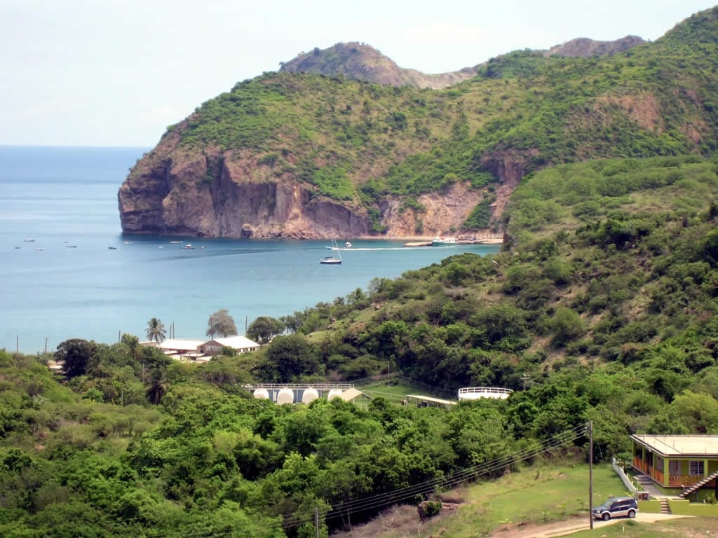
Since the disaster, life on Montserrat has rebuilt itself in the safer north of the island, centred on the small town of Brades and the planned new capital under construction at Little Bay, with its own beach, jetty, and cricket ground. The island's volcanic soil and steep, forested terrain also make for good hiking in the Centre Hills, home to the endemic and critically endangered mountain chicken frog, alongside black-sand beaches and modest diving on largely untouched reefs.
This is where almost all remaining island life, accommodation, and services are now based.
Montserrat is a small, specialist destination rather than a beach-resort trip — most visitors come specifically for the volcano story, arriving by ferry or small plane from Antigua, and stay two or three days, split between the Observatory, a guided exclusion-zone tour, and the quieter north.