History · Marshall Islands
Marshall Islands: The Nuclear Atolls
A navigator society scattered across the central Pacific — colonised by Germany then Japan, taken by the US, used for 67 nuclear tests, and now an independent state in free association with Washington and on the front line of rising seas
By Worldlore Editorial · 10 September 2026
A country of atolls, and its history of being used
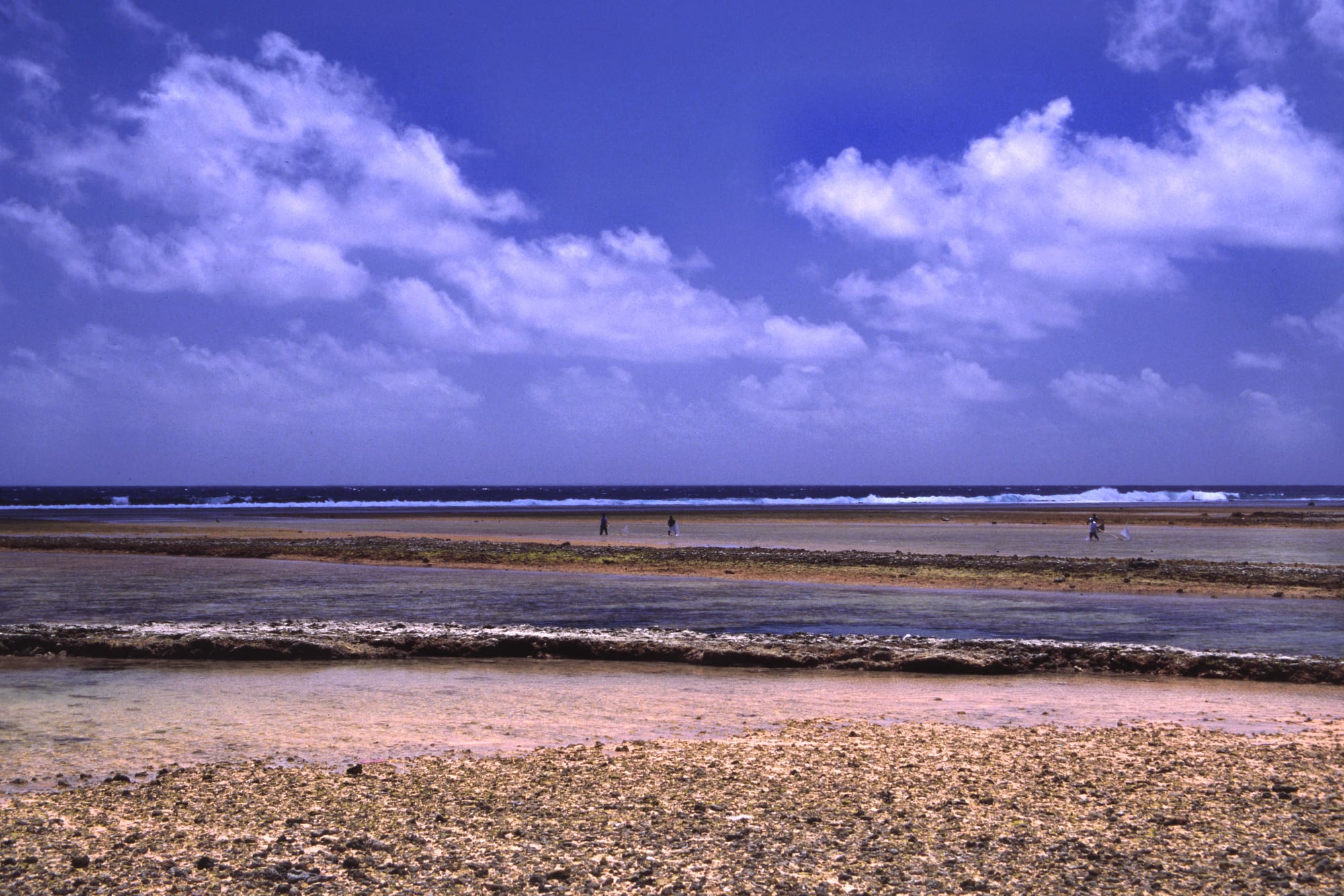
The Marshall Islands are 29 atolls and a handful of islands in the central Pacific, strung in two long chains across two million square kilometres of ocean, with only about 180 square kilometres of land and 40,000 people — a third of the Marshallese now live in the United States. The country is a sovereign republic, but "in free association" with the US, which handles its defence and provides much of its budget. Its modern history is one of being used by outside powers, above all as the testing ground for America's nuclear weapons.
A short history
- c. 1000 BCE onward
Settlement
Micronesian navigators reach the atolls.
- 1788
Named
For a British sea captain, John Marshall.
- 1885
German protectorate
Run through a trading company and the chiefs.
- 1914
Japan
Seizes the islands; fortifies and colonises them.
- 1944
US conquest
The battles of Kwajalein and Enewetak.
- 1946–1958
Nuclear testing
67 US tests at Bikini and Enewetak atolls.
- 1954
Castle Bravo
The largest US test spreads fallout over inhabited atolls.
- 1979
Constitution
Self-government begins.
- 1986
Free association
The Compact with the United States takes effect.
The navigators
Micronesian voyagers settled the Marshalls more than two thousand years ago, and became famous for reading the ocean itself.
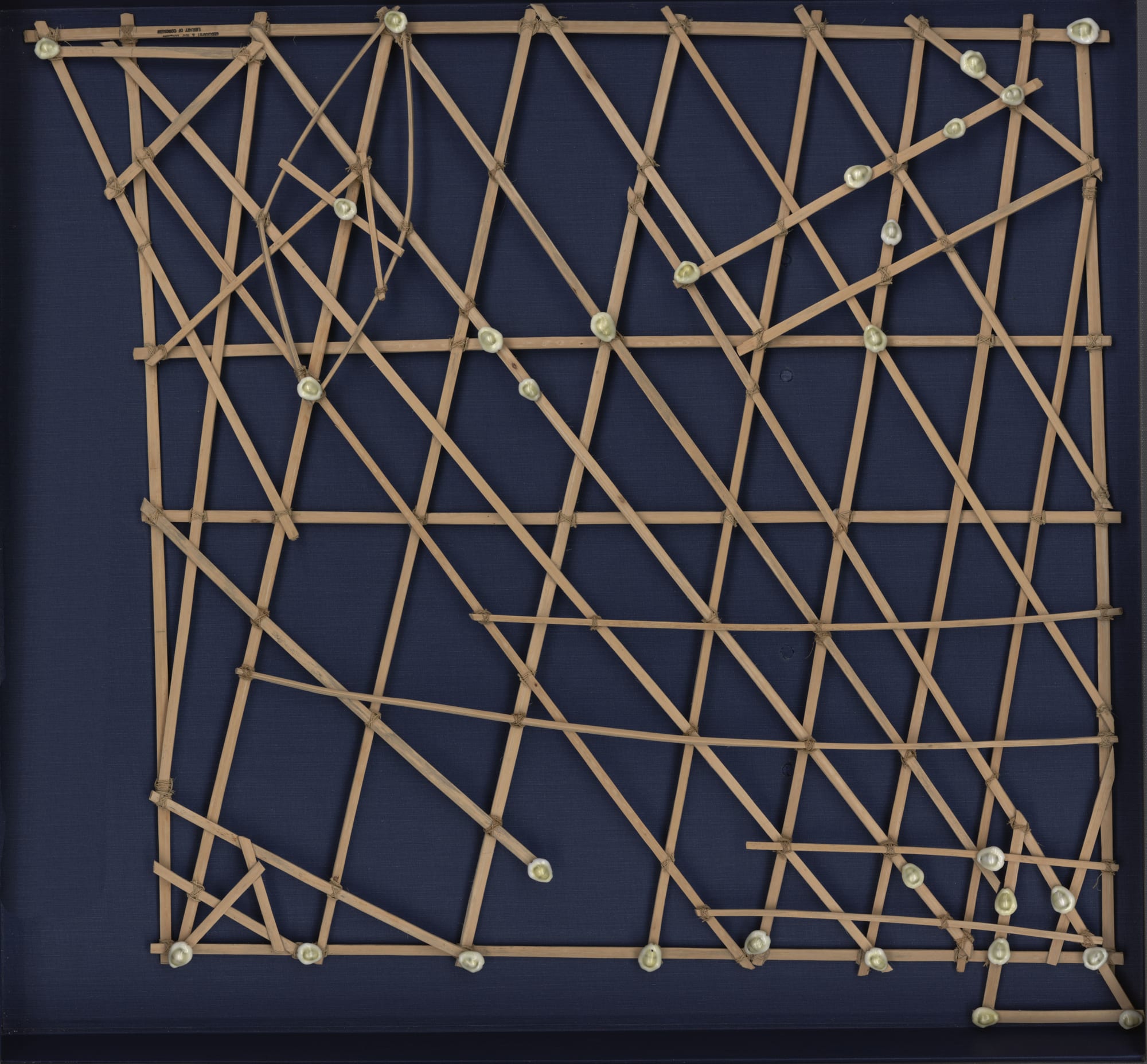
Society was organised by matrilineal clans under paramount chiefs. Whalers and traders came in the 19th century, American missionaries converted the islands from 1857, and Germany declared a protectorate in 1885, running it lightly through a copra-trading firm. Japan took the islands in 1914 and, from the 1930s, fortified and settled them — before the United States invaded in 1944, bypassing several Japanese garrisons and leaving them to starve.
The Proving Grounds
After the war the Marshalls became part of a US-administered UN "strategic trust", and the US made them its Pacific Proving Grounds. Between 1946 and 1958 it conducted 67 nuclear tests at Bikini and Enewetak atolls, with a combined yield equivalent to more than a Hiroshima bomb every day for twelve years. The people of Bikini were moved off their atoll in 1946 and have never been able to return.
The nuclear legacy
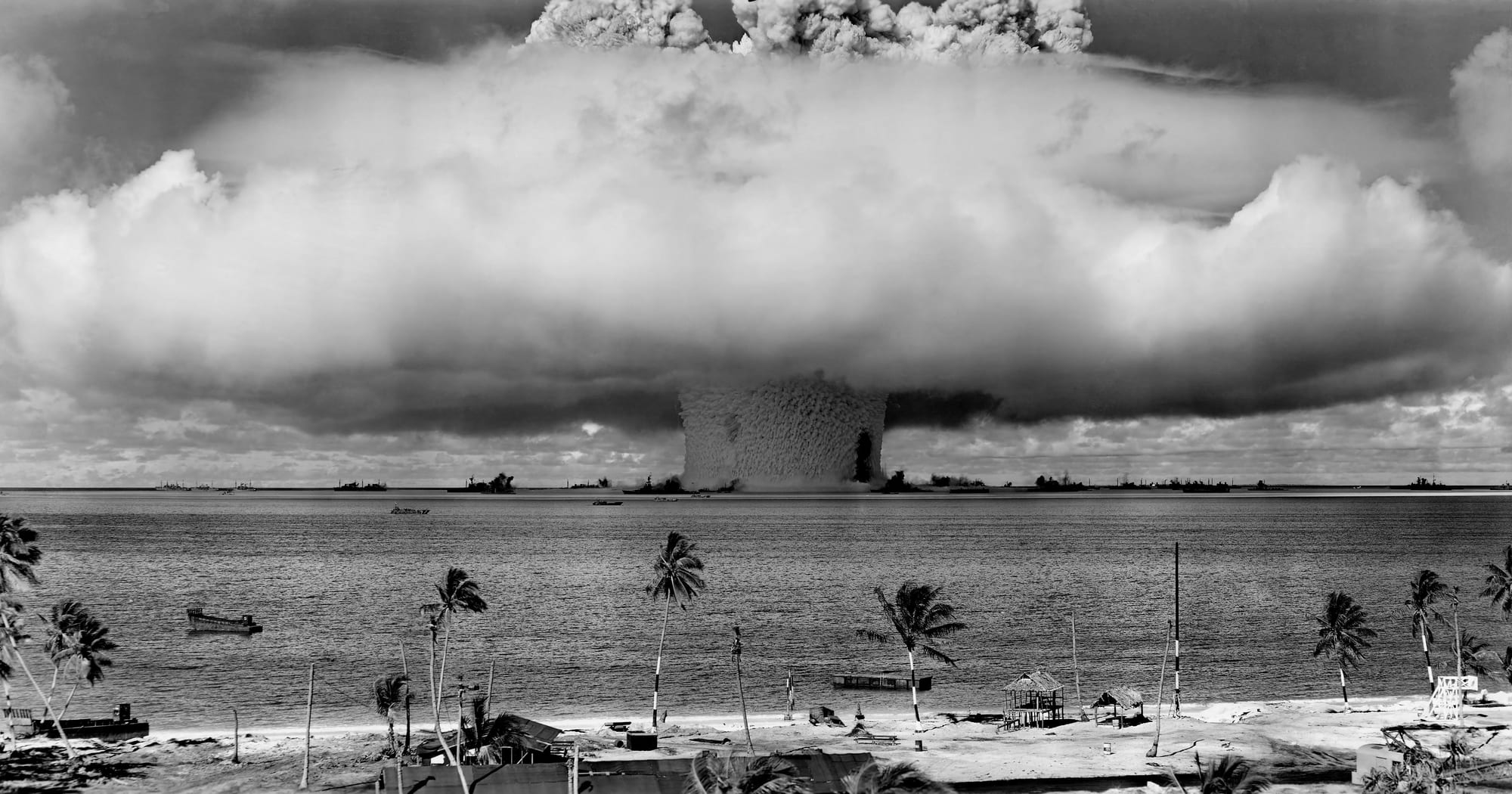
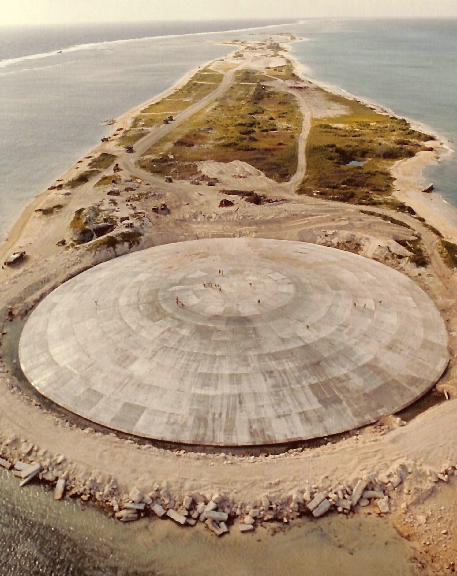
The nuclear legacy — displaced communities, illness, and a decades-long fight over compensation widely regarded as inadequate — remains central to Marshallese politics and identity.
Kwajalein, and independence
Kwajalein Atoll became, and remains, a US missile-testing and space-tracking base. Its Marshallese landowners were relocated to the small island of Ebeye, which became one of the most crowded and under-served places in the Pacific.
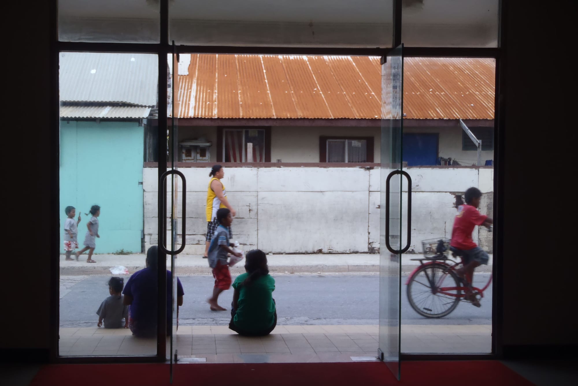
The Marshalls adopted a constitution in 1979 and, in 1986, entered a Compact of Free Association with the United States: full sovereignty and a UN seat, in return for US defence rights, continued use of Kwajalein, economic aid, and visa-free access to the US for Marshallese. A nuclear-claims fund set up under the Compact was never remotely enough to cover the awards a tribunal later made.
What the Marshall Islands carry
The Marshalls' history has an unusually stark shape: a self-sufficient navigator society, then a century of colonial hand-offs, then use as a weapons range that irradiated and displaced its own citizens. Now the same low atolls face a slower threat — rising seas — and the Marshall Islands have become, at climate negotiations, one of the most insistent voices for limiting warming, having already been sacrificed once for someone else's security.