Attractions & Natural Wonders · Guinea
Guinea: Eight Attractions and Natural Wonders
The green highland "water tower of West Africa" — sandstone plateaus and canyons, thundering waterfalls, old French hill stations, and a chain of islands off a chaotic capital
By Worldlore Editorial · 19 September 2026
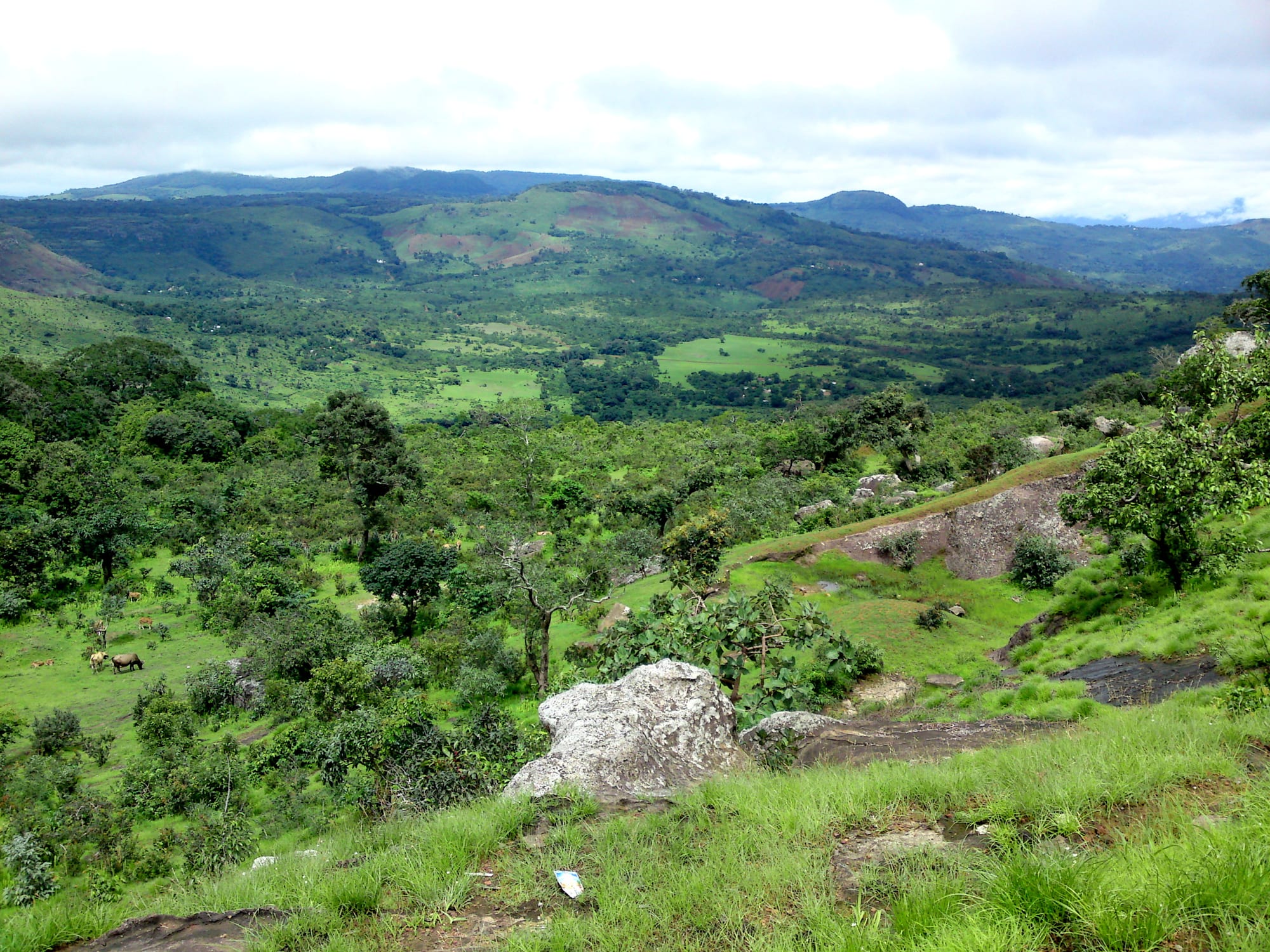
The water tower of West Africa
Guinea (officially Guinea-Conakry, to distinguish it from its neighbours) curls around the coast and highlands between Senegal, Mali, Côte d'Ivoire, and the two smaller Guineas. It holds some of West Africa's most dramatic scenery — the Fouta Djallon plateau, whose rains feed the Niger, Senegal, and Gambia rivers — and vast reserves of bauxite and iron ore that have shaped its politics. It has had authoritarian rule since independence in 1958, with a military coup in 2021. Tourism is minimal but the landscape and Mandé/Fula musical culture are a genuine draw.
The eight below run from the capital up into the highlands and out to the eastern forests and offshore islands. The dry season (November to April) is the only practical time; the rains are among the heaviest in Africa.
1. Conakry
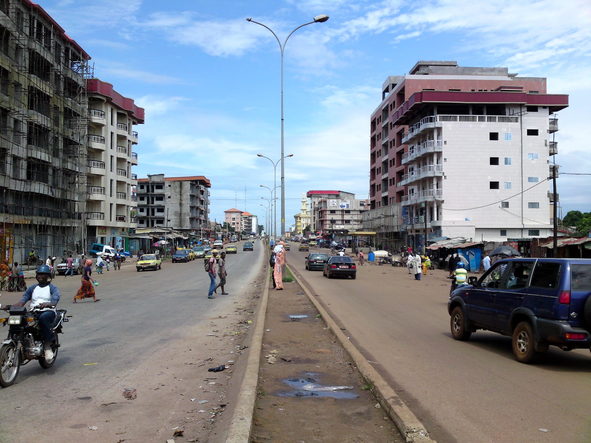
Conakry sprawls along a narrow peninsula and is chaotic, humid, and heavily trafficked, but has its landmarks: the Grande Mosquée Fayçal, one of the largest in West Africa; the small but worthwhile National Museum of Guinea; the botanical garden and the leafy Camayenne area; and the Palais du Peuple. The city's nightlife and live music — Guinea produced Bembeya Jazz and a golden age of post-independence bands — are its real strength.
It is the arrival point and the jumping-off place for the Îles de Los.
2. The Fouta Djallon highlands
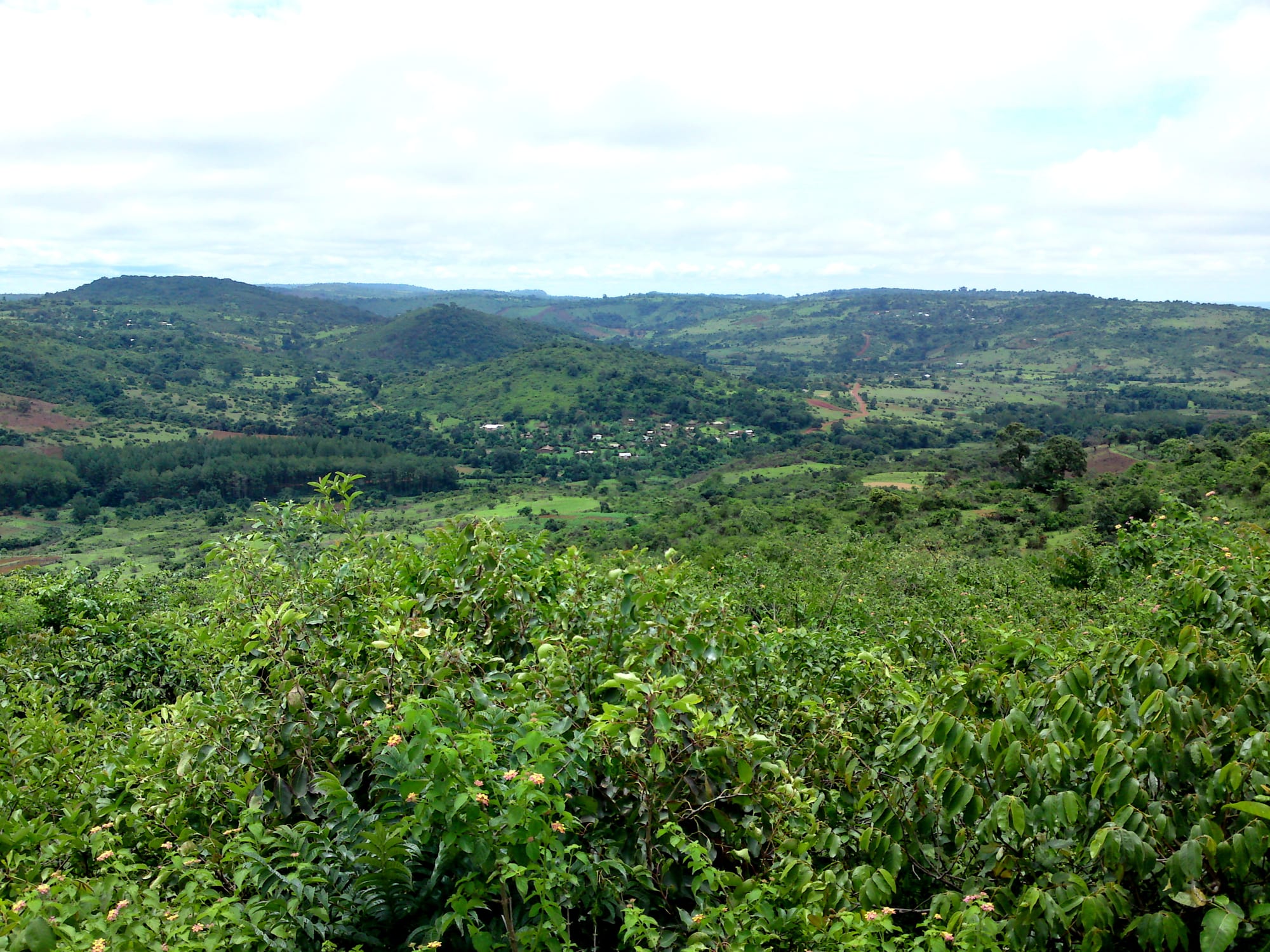
The Fouta Djallon is a rugged sandstone plateau in the centre-west — cut by canyons, dotted with waterfalls, and cool at altitude, with a strongly Muslim Fula (Peul) culture and terraced gardens. The area around Doucki, near Pita, has become the country's small hiking hub, with a local guide (the late Hassan Bah's family) running multi-day "Grand Canyon of Guinea" treks along the cliffs and into the gorges.
Pita and Labé are the main towns and transport nodes.
3. The Voile de la Mariée
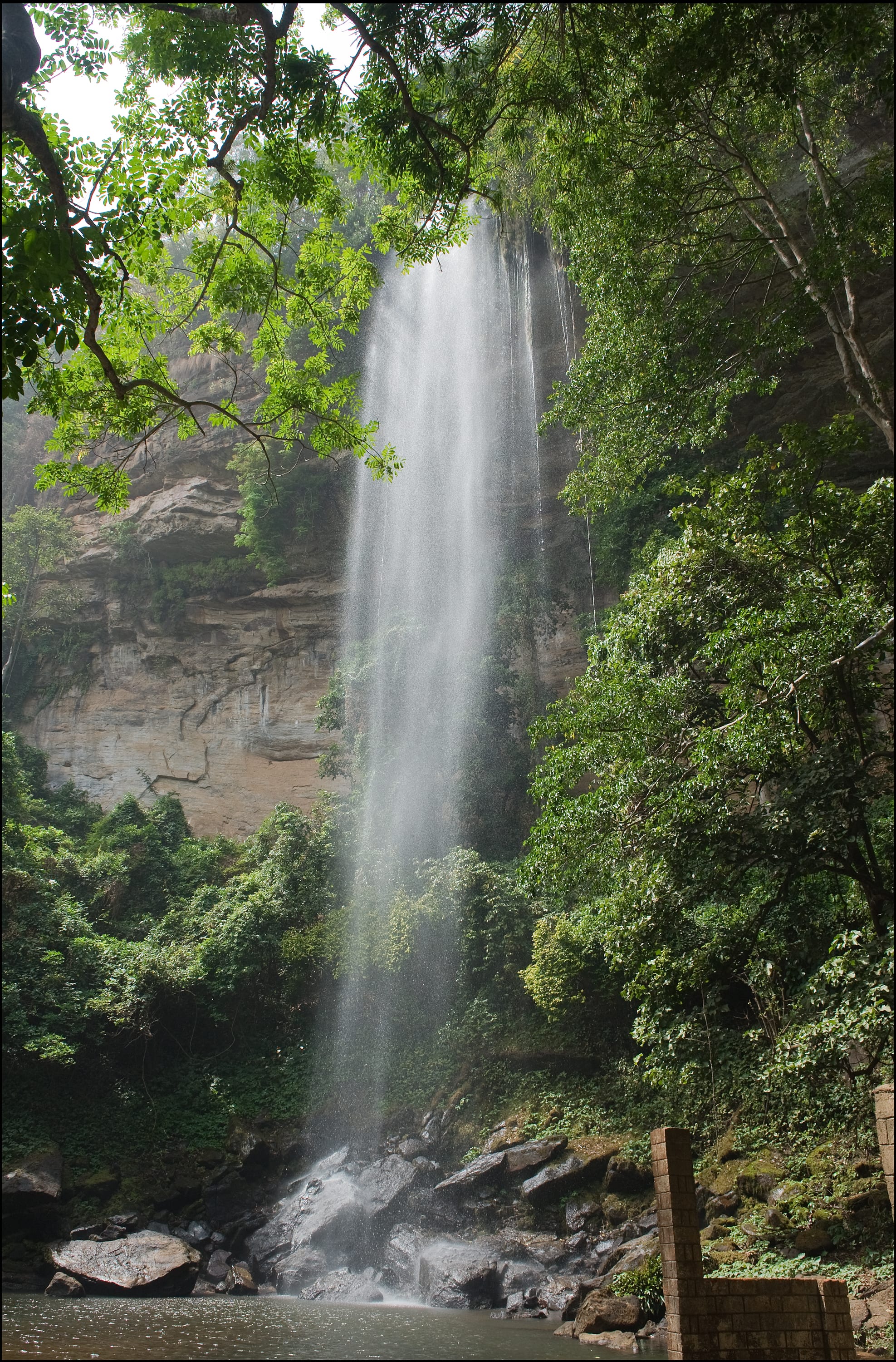
The Chutes de la Voile de la Mariée, near Kindia about two hours from Conakry, is the most-visited waterfall in Guinea — a broad cascade dropping into a swimming-friendly pool, with a modest hotel above it. It makes the easiest day- or overnight trip from the capital and is often paired with the Kilissi falls nearby.
It is fullest and most impressive at the end of the rains, October–December.
4. Kambadaga and the Fouta Djallon waterfalls
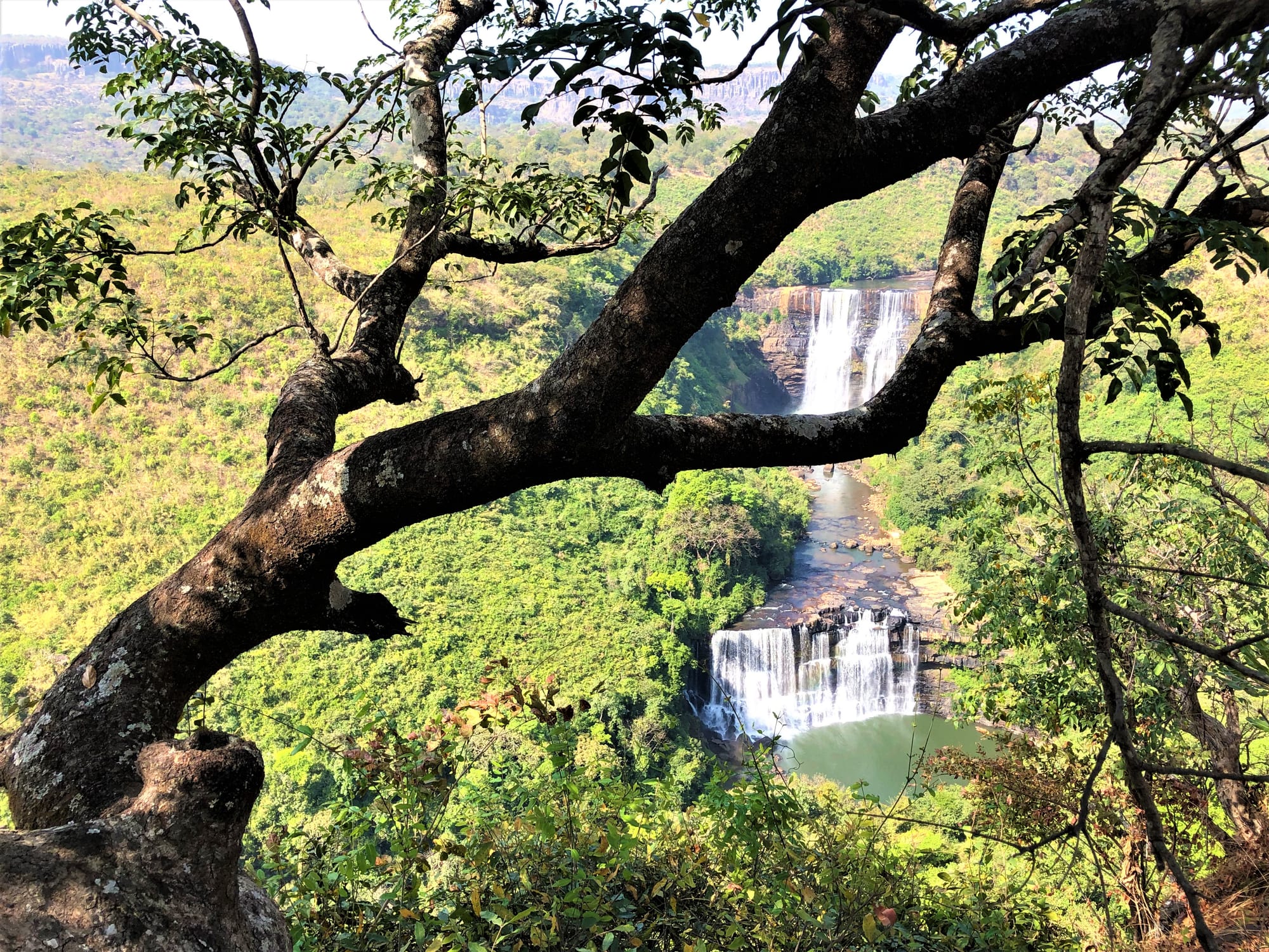
The plateau is full of falls. Kambadaga, on the Kokoulo river near Pita, drops in three big steps and is spectacular in flood; the Chutes de Kinkon, on the Kokoulo just above a hydro dam, plunge into a deep gorge; and the Saala and Ditinn falls are further highlights. Several are reached by short walks from rough tracks, so a 4x4 and a guide help.
Water levels swing hugely between the wet and dry seasons.
5. Dalaba and the hill stations
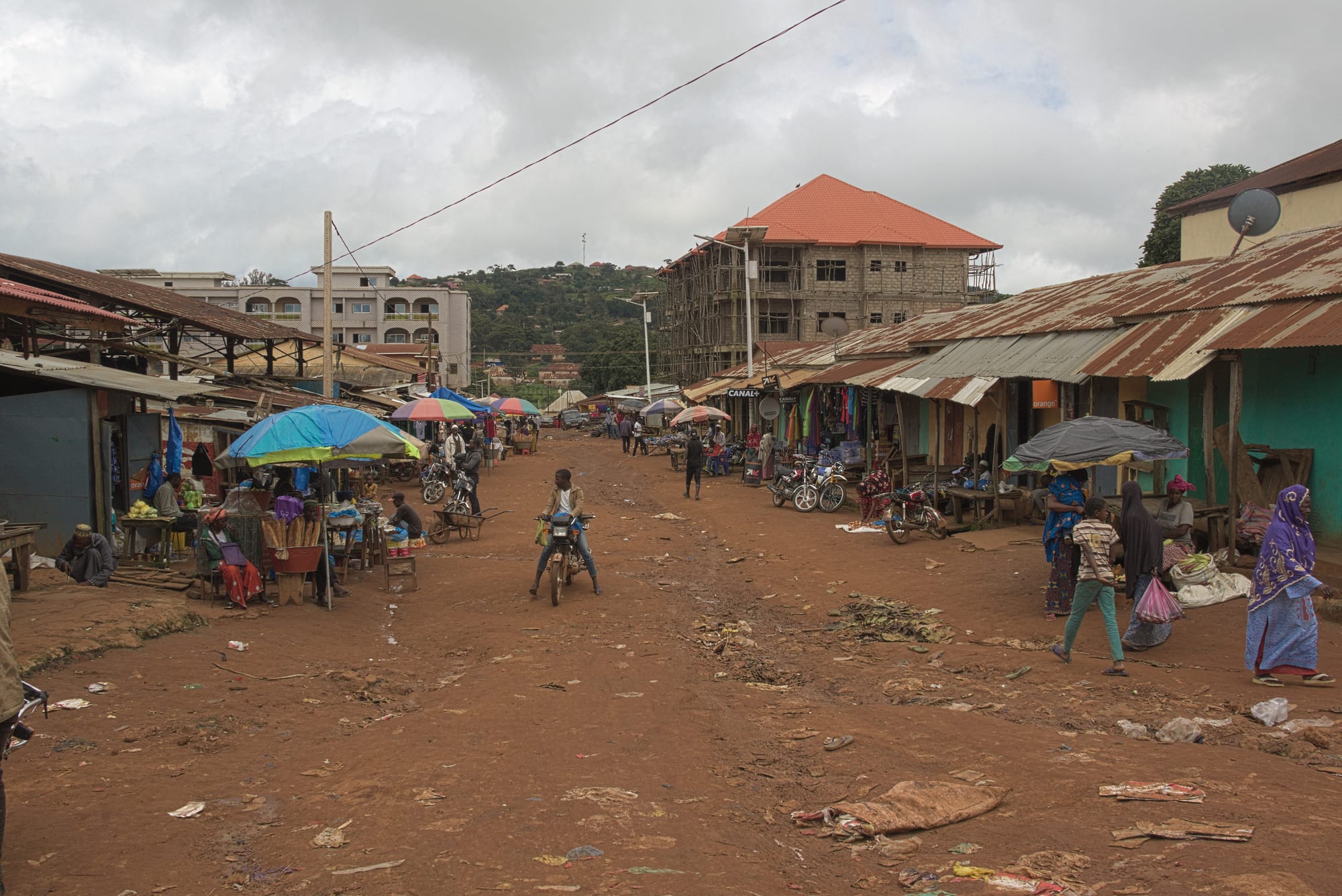
Dalaba, at around 1,200 metres, was a French colonial hill station, chosen for its mild climate; it keeps a scattering of period villas, the "Case de Palabre" meeting house with painted Fula decoration, a former sanatorium, and gardens, all in pine-scented highland air. Nearby are the Chutes de Ditinn and the Bidère viewpoint.
It is a cool, restful stop on the road between Conakry and Labé.
6. Mount Nimba
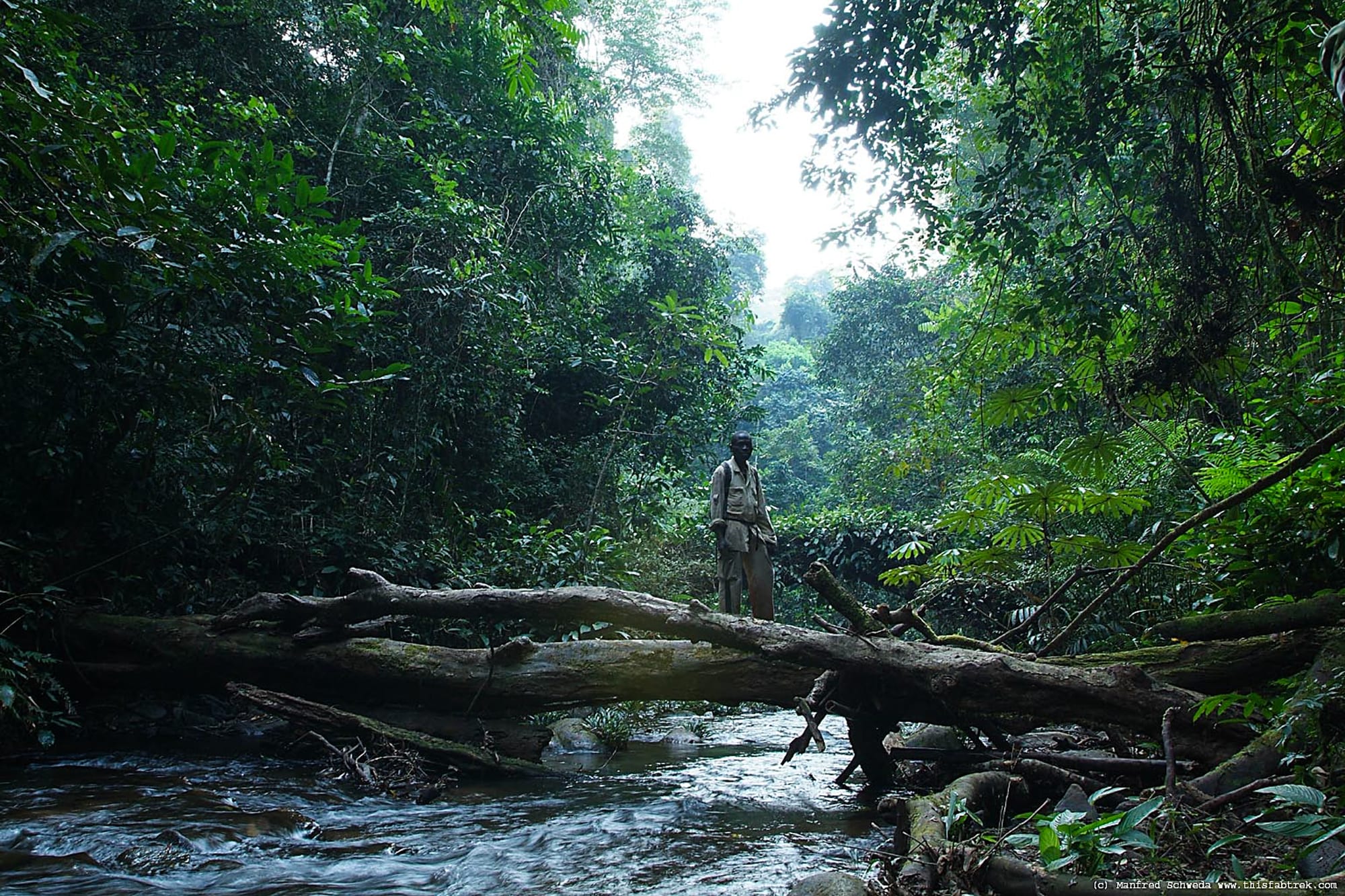
In the far southeast, where Guinea meets Côte d'Ivoire and Liberia, the Nimba Range rises out of the forest to grassy summits around 1,750 metres. The Mount Nimba Strict Nature Reserve is a UNESCO World Heritage Site protecting an unusual mix of montane grassland and rainforest, with endemic species including a toad that gives birth to live young and a distinct population of chimpanzees that use stone tools.
Access is difficult and partly restricted by mining; the "strict reserve" limits casual visits.
7. The Îles de Los
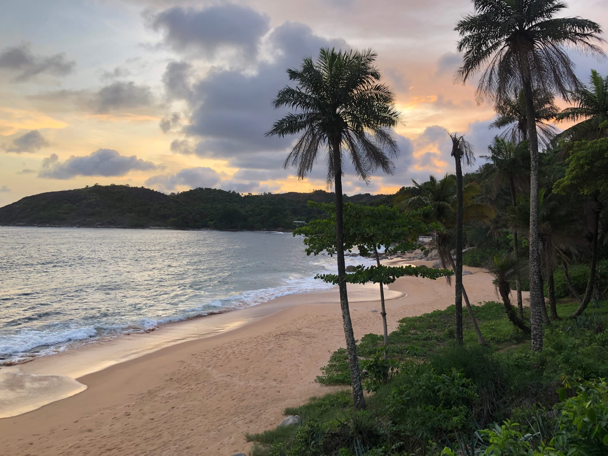
The Îles de Los, a cluster of low islands 15 minutes to an hour by boat off Conakry, are the capital's weekend escape — palm-fringed beaches, calm water, and a few basic guesthouses on Roume and Kassa. Once British, they were traded to France in 1904; Île de Roume has the remains of a slave-holding station, and the islands are said to have inspired the setting of Treasure Island.
Boats leave from the Boulbinet port; go on a calm day.
8. Music, markets, and the road
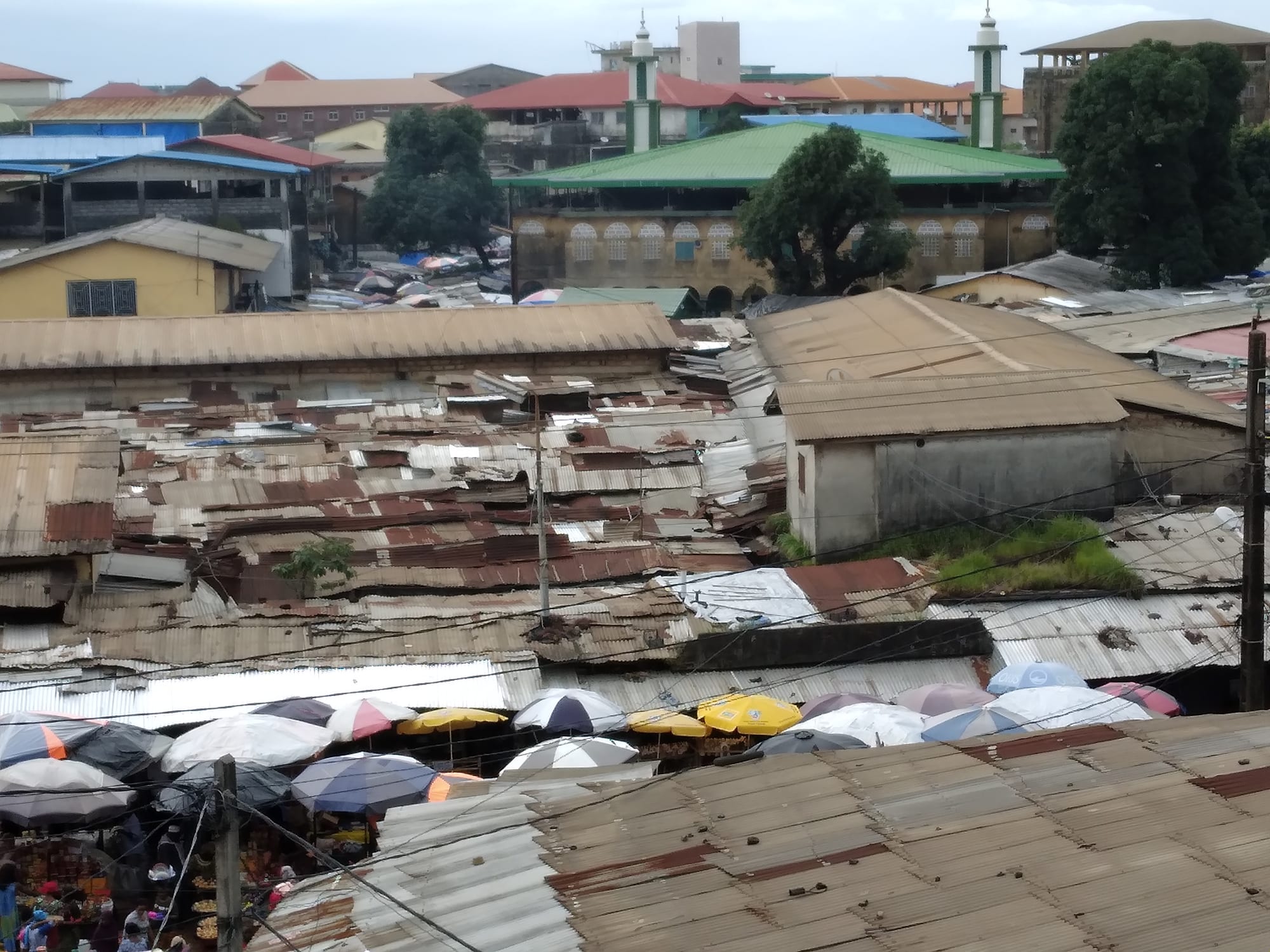
Beyond the set-piece sights, much of what travellers remember about Guinea is the journey: highland market days in Labé and Pita, roadside stalls of oranges and honey, drumming and balafon in Conakry's clubs, and the long, rough drives between them. Kankan, in Upper Guinea, is a centre of Maninka culture and Islamic scholarship; Kissidougou and the forest region hold sacred groves and mask traditions.
Distances are long and roads slow — patience is part of the trip.
Before you go: a practical note
Guinea has been under military rule since a September 2021 coup, and political demonstrations in Conakry can turn violent with little warning. Infrastructure is weak, medical care is limited, and road travel — especially at night and in the rains — is hazardous. Most Western governments advise a high degree of caution. Nearly all visitors travel with a local guide or operator who arranges vehicles and lodging; check current conditions close to departure and avoid political gatherings.
A trip is typically a week or two focused on the Fouta Djallon, with Conakry and the Îles de Los at the start or end.