Attractions & Natural Wonders · Guatemala
Guatemala: Nine Attractions and Natural Wonders
Maya temples rising above the rainforest canopy, a baroque city under three volcanoes, a lake ringed by indigenous towns, and turquoise pools on a limestone bridge
By Worldlore Editorial · 19 September 2026
The heart of the Maya world
Guatemala, just south of Mexico, is the most populous country in Central America (about 18 million people) and the one where indigenous culture is most alive: more than 20 Maya languages are spoken, and in the highlands traditional dress, markets, and religion are everyday. The landscape is a chain of volcanoes and crater lakes across the south, cloud forest and pine highlands in the middle, and lowland jungle in the northern Petén, where the Classic Maya built their greatest cities.
The nine below run from the northern ruins through the volcanic highlands to the Caribbean coast. The dry season (November to April) is the main travel window; the highlands are cool year-round, and the Petén is hot and humid always.
1. Tikal
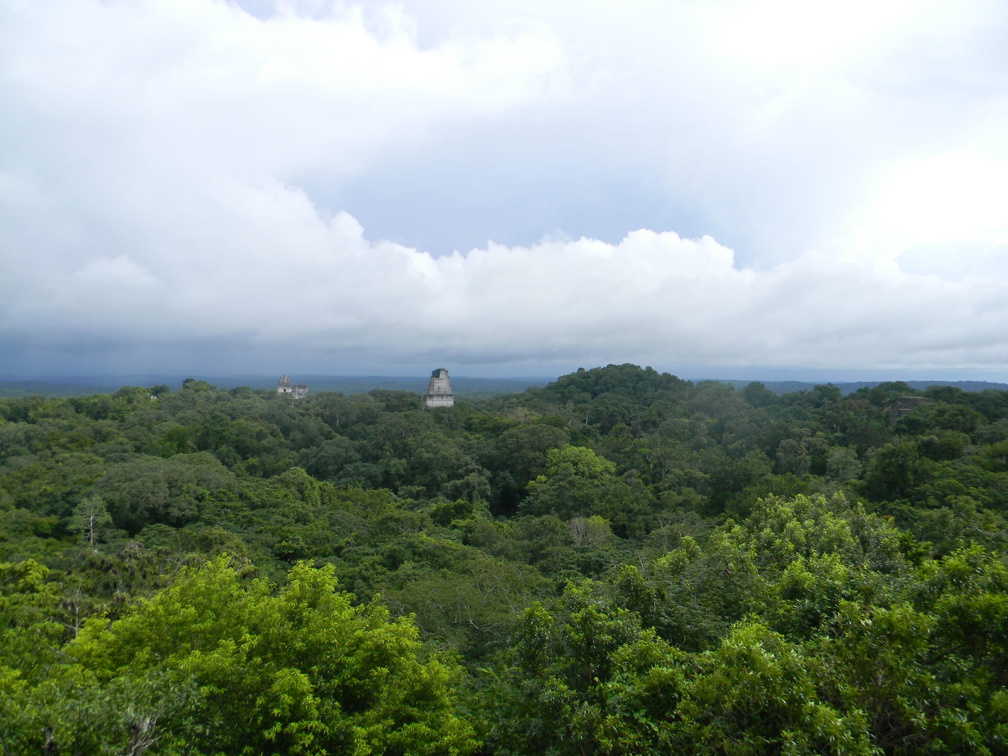
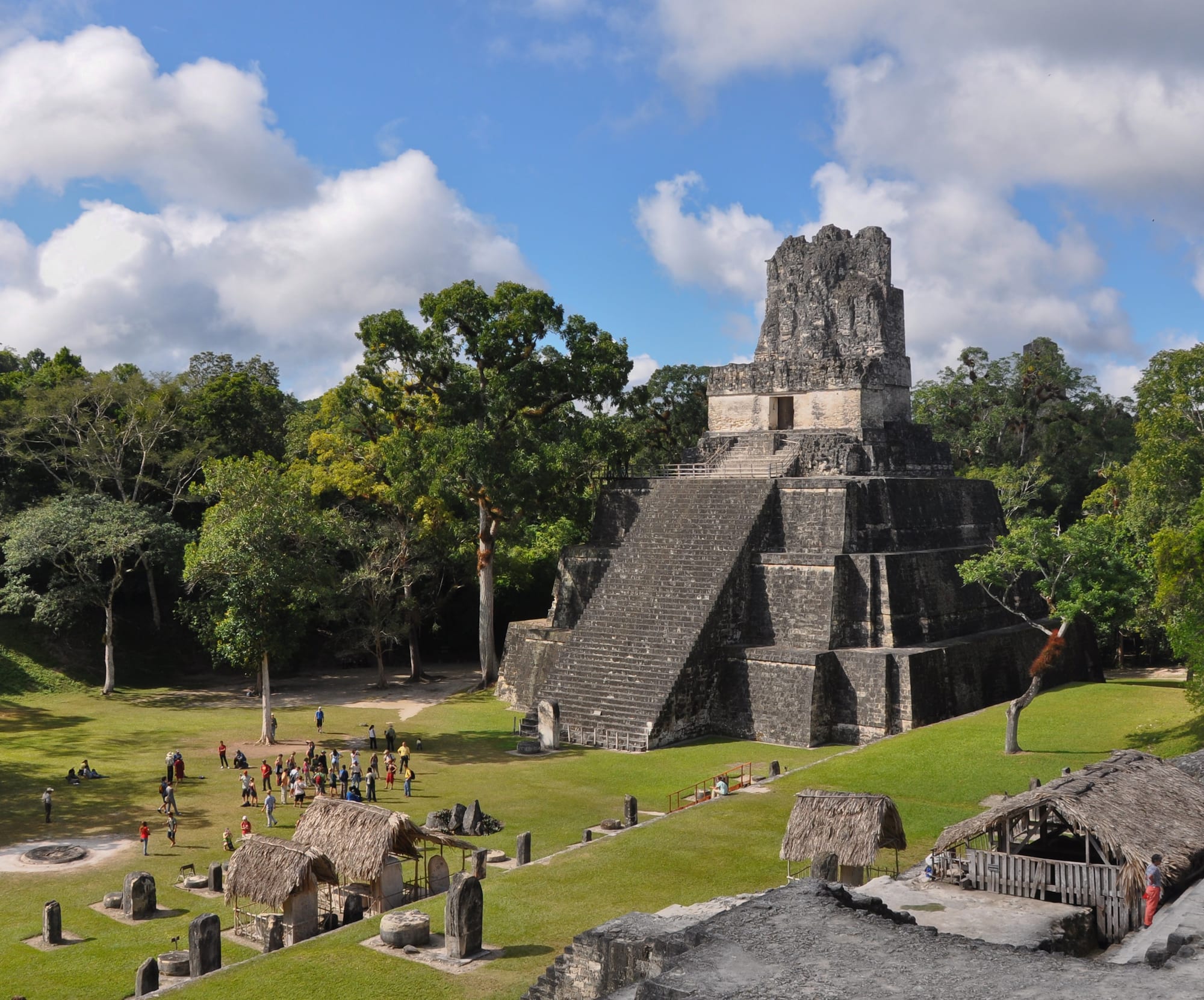
Tikal was one of the most powerful Maya city-states, at its height around AD 700 home to perhaps 60,000 people, before collapse and abandonment left it to the jungle for a thousand years. Steep temple-pyramids up to 65 metres tall poke through the canopy of what is now a huge national park; howler monkeys, coatis, toucans, and ocellated turkeys are everywhere. Dawn and dusk tours catch the wildlife and the light.
The base town is Flores, a lakeside island an hour away, near the airport at Santa Elena.
2. Antigua Guatemala
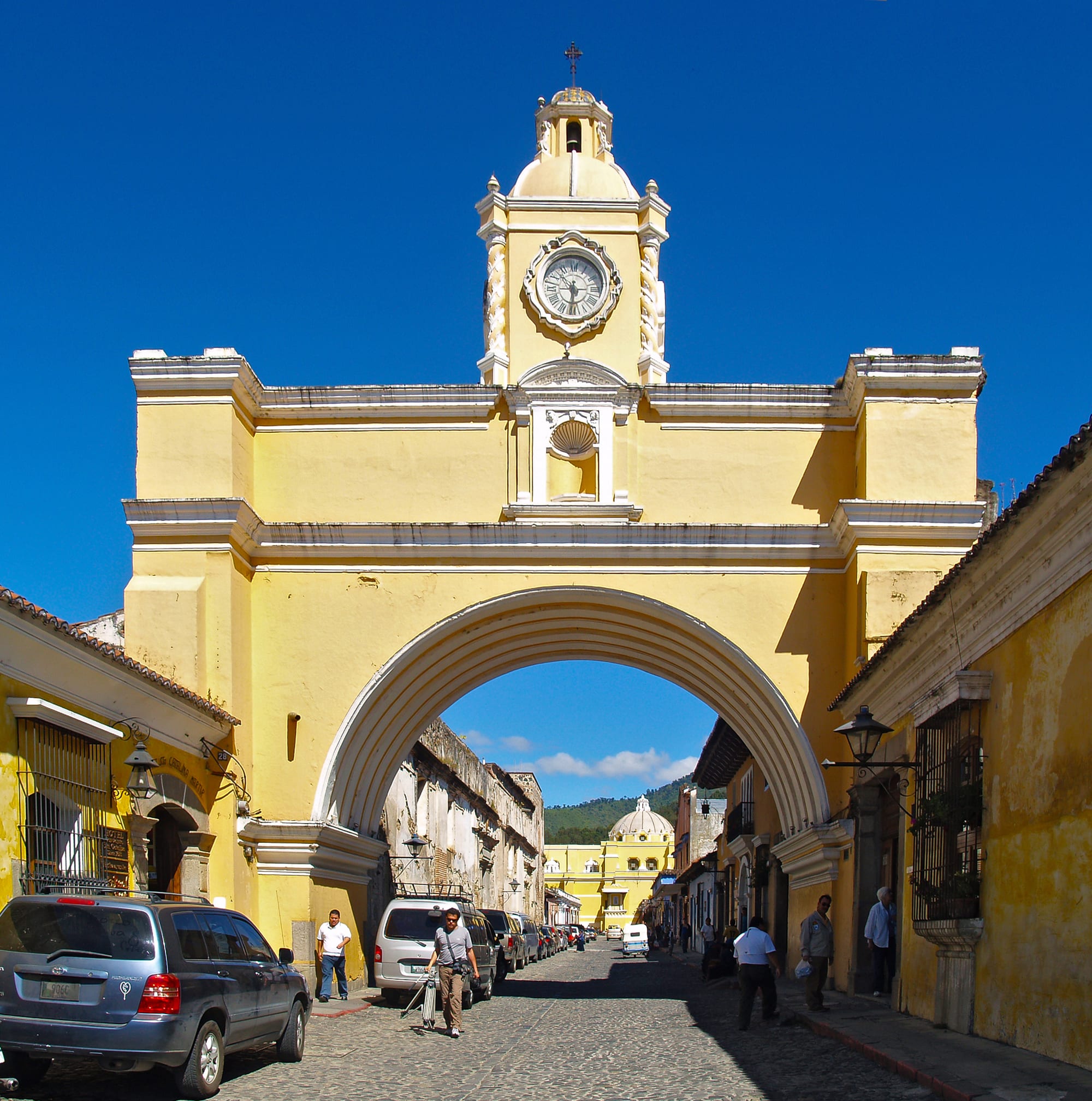
Antigua, the colonial capital until an earthquake destroyed it in 1773, is a grid of cobbled streets, pastel houses, and the romantic ruins of baroque churches and convents, all under three volcanoes — a UNESCO World Heritage Site and Guatemala's most charming town. It has excellent cafés and Spanish schools, and its Holy Week (Semana Santa) processions over coloured sawdust carpets are among the most elaborate in the Americas.
It is under an hour from Guatemala City and the usual first or last stop.
3. Lake Atitlán
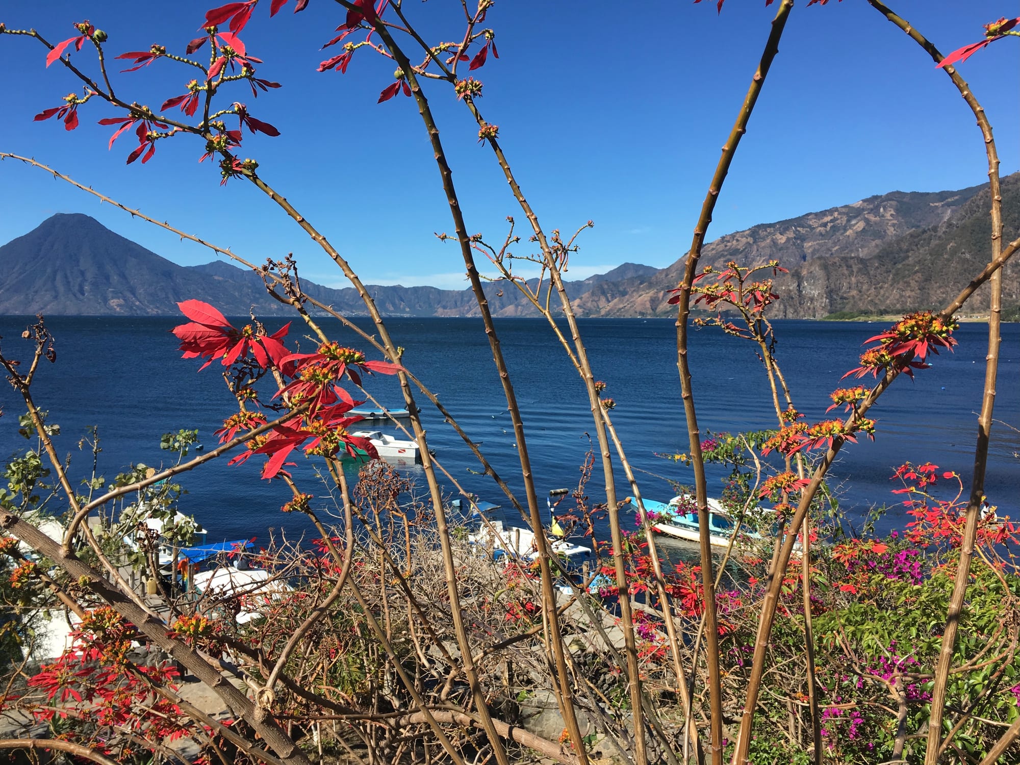
Atitlán fills a collapsed volcanic caldera 300 metres deep, walled by three volcanoes and a dozen distinct lakeside villages, each with its own character: backpacker-party San Pedro, artsy San Marcos, weaving-focused Santiago Atitlán and San Juan la Laguna, and the transport hub Panajachel. Boats criss-cross the water; the villages keep strong Tz'utujil and Kaqchikel Maya identities.
Aldous Huxley called it "the most beautiful lake in the world"; the afternoon wind ("Xocomil") can make the crossings choppy.
4. Chichicastenango
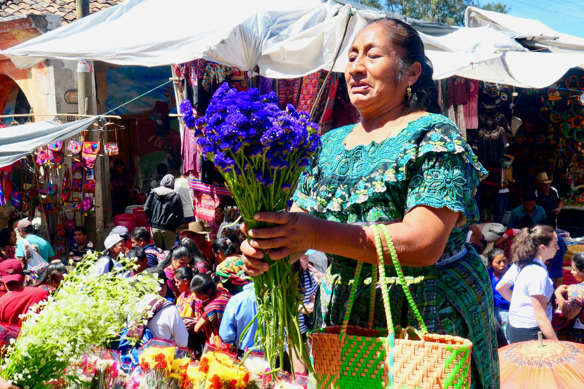
Twice a week the highland K'iche' town of Chichicastenango fills with a huge market — textiles, masks, pottery, produce, and tourist crafts — spilling around the church of Santo Tomás, where Maya and Catholic ritual openly mix on the steps with incense and flower petals. The Popol Vuh, the K'iche' creation epic, was first written down here.
It is a day trip from Atitlán or Antigua, best arriving early before the tour buses.
5. Acatenango and Volcán de Fuego
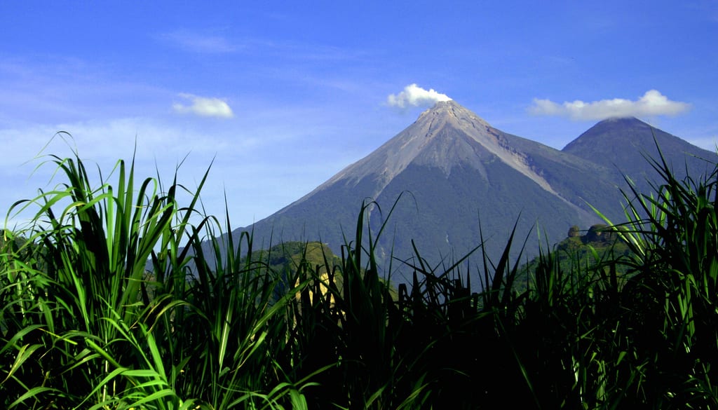
The classic Guatemalan adventure is the overnight hike up Acatenango (3,976 m), a steep six-hour climb from near Antigua to a high camp with a grandstand view of its neighbour, Volcán de Fuego, which erupts in glowing bursts every 15–20 minutes — spectacular after dark. Fitter hikers add a dawn scramble along the "El Fuego" ridge for a closer look.
It is cold at the top and altitude affects many; go with an established operator, as Fuego's activity level varies and access is sometimes restricted.
6. Pacaya
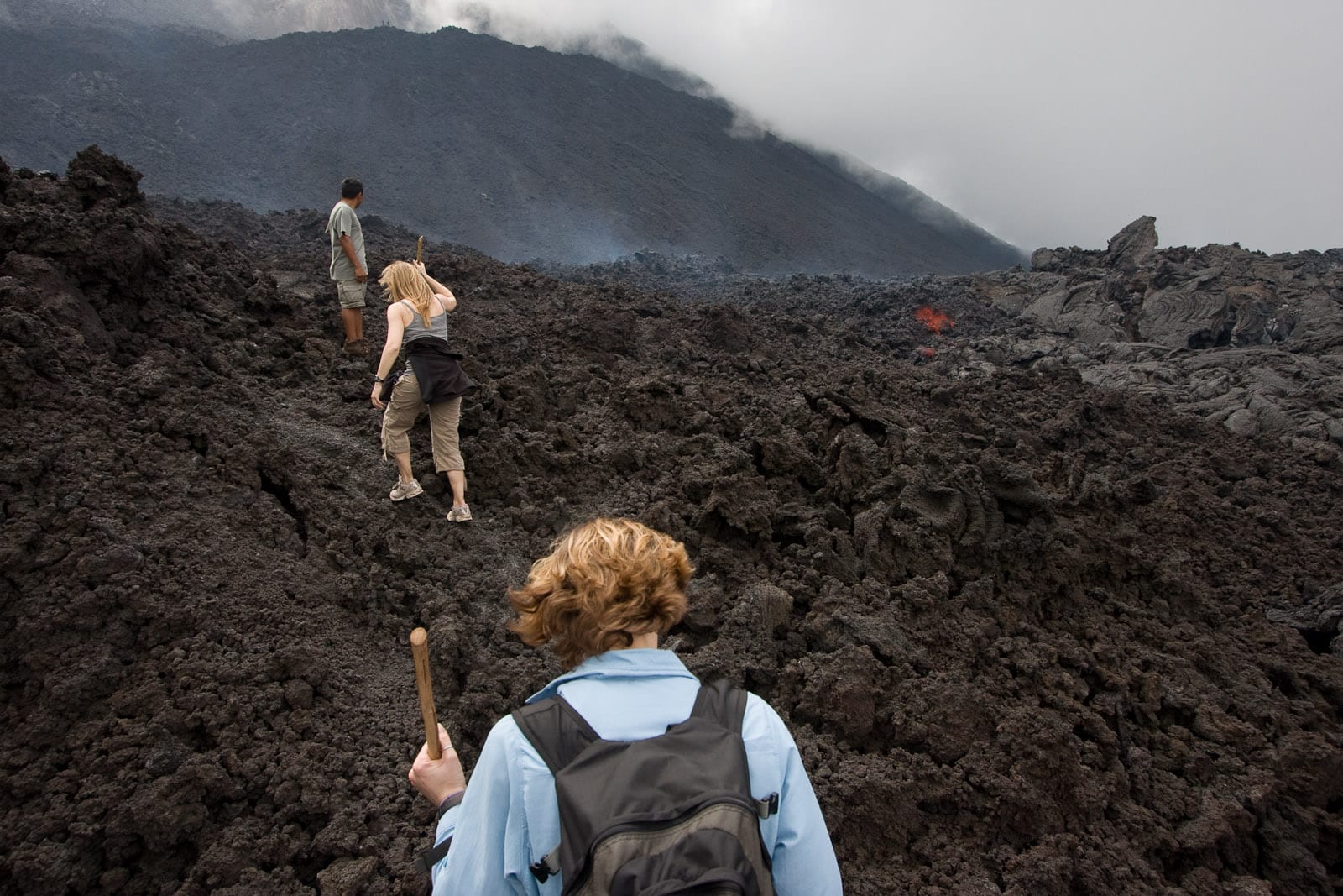
For a shorter volcano experience, Pacaya — an easy day trip from Antigua or the capital — is a two-hour walk (with horses for hire) to lava fields where, when it is active, you can feel the heat through the rock and roast marshmallows over vents. It has erupted many times, most notably in 2010, so the exact route changes with each new flow.
It is far less demanding than Acatenango and doable by most reasonably fit walkers.
7. Semuc Champey
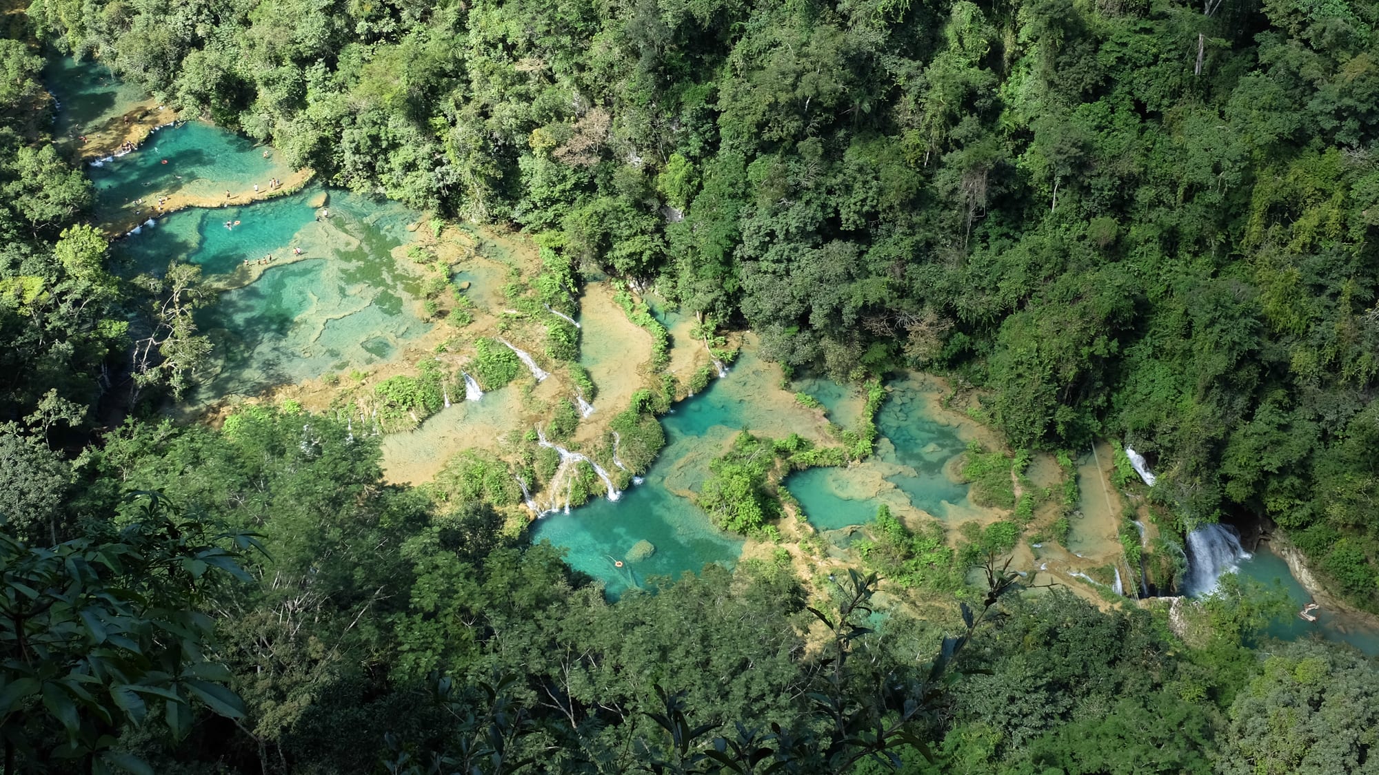
Semuc Champey, hidden in the forested hills of Alta Verapaz, is a 300-metre natural limestone bridge over the Cahabón river, its top covered by a staircase of shallow turquoise pools warm enough to swim in while the main river thunders through a tunnel beneath. A steep trail climbs to the "El Mirador" viewpoint; nearby are the Kʼanba river caves, explored by candlelight.
The access road from Lanquín is rough and the area feels remote — most people stay a night or two.
8. The Río Dulce and Lívingston
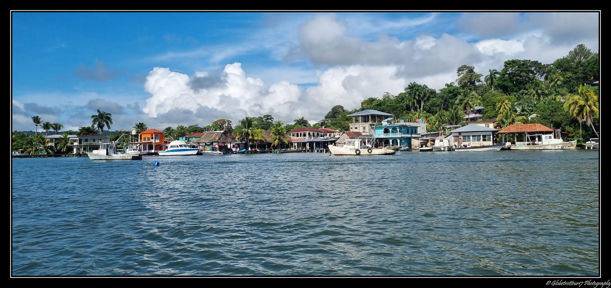
On the short Caribbean coast, the Río Dulce flows out of Lake Izabal through a jungle gorge to the sea at Lívingston, a town reachable only by boat and home to the Garífuna — an Afro-Indigenous people with their own language, drumming, and cuisine, found nowhere else in Guatemala. The river trip passes the Spanish fort of San Felipe, hot-spring waterfalls, a bird-filled lagoon, and a canyon of sheer green walls.
Nearby Quiriguá has the tallest carved stone stelae in the Maya world.
9. Yaxhá and the wider Petén
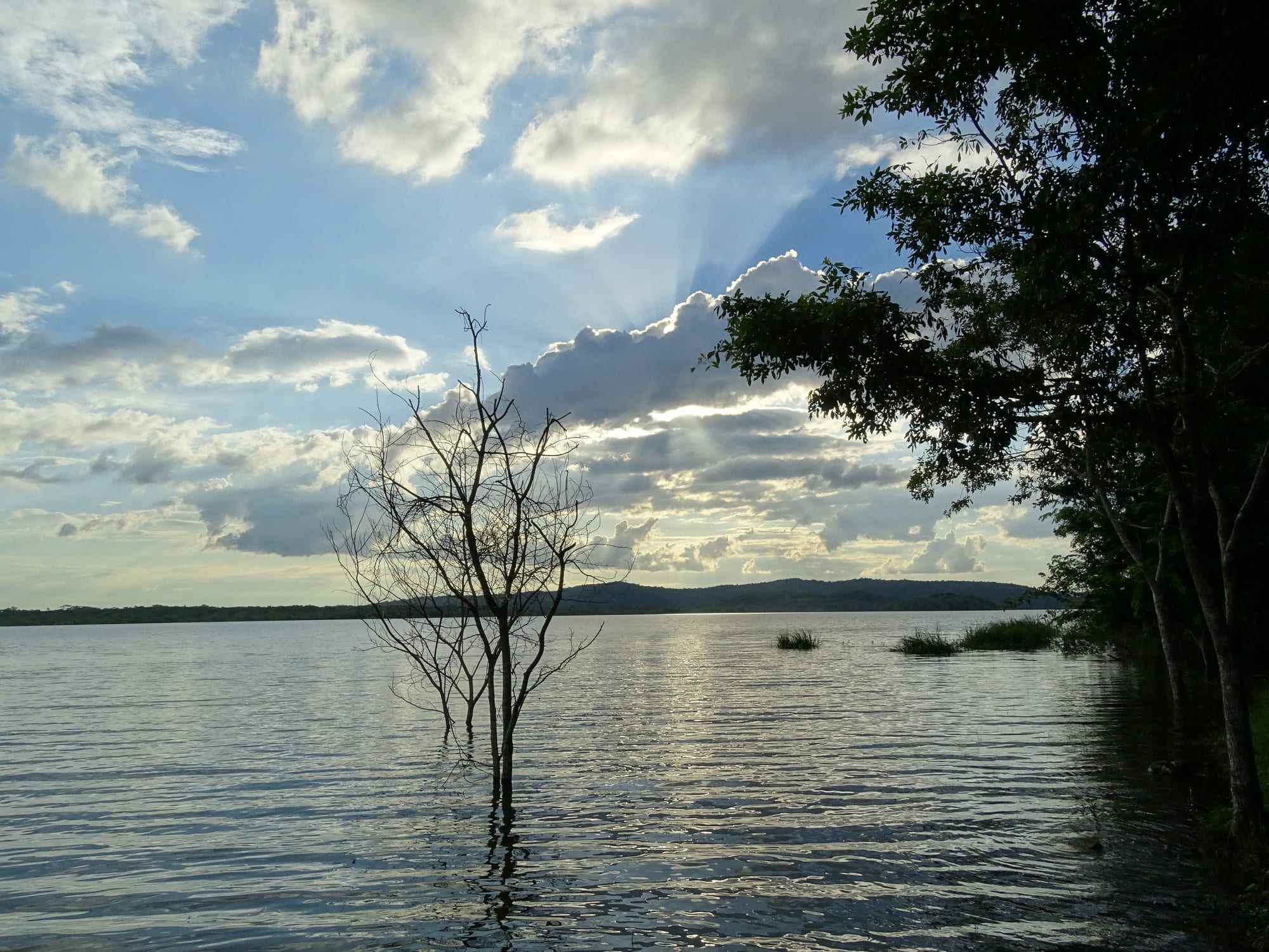
Beyond Tikal, the Petén jungle holds dozens more Maya sites in various states of excavation. Yaxhá, between two lakes, has a temple you can climb for a sunset over the water and forest, and far fewer visitors. The vast El Mirador, with the largest pyramid by volume in the Maya world, lies deep in the reserve — reached only by a multi-day jungle trek or a helicopter charter.
Uaxactún and Nakum are other options for those wanting ruins without crowds.
Guatemala packs a lot into a small area, but roads are slow and winding. A common two-week route links Antigua, Lake Atitlán, and Chichicastenango in the highlands with a flight to Flores for Tikal, adding Semuc Champey or the Río Dulce if time allows.