History · The Azores
The Azores: Nine Islands in the Atlantic
Uninhabited volcanic islands settled by Portugal, a mid-ocean crossroads for the treasure fleets, and a region shaped by emigration and eruption
By Worldlore Editorial · 19 September 2026
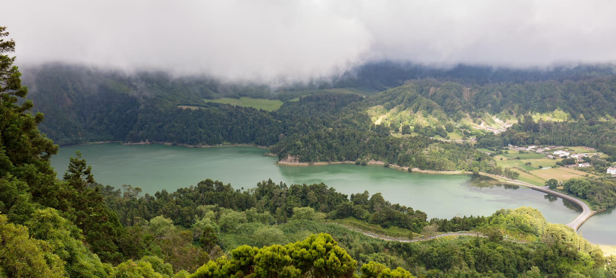
Islands in the middle of the ocean
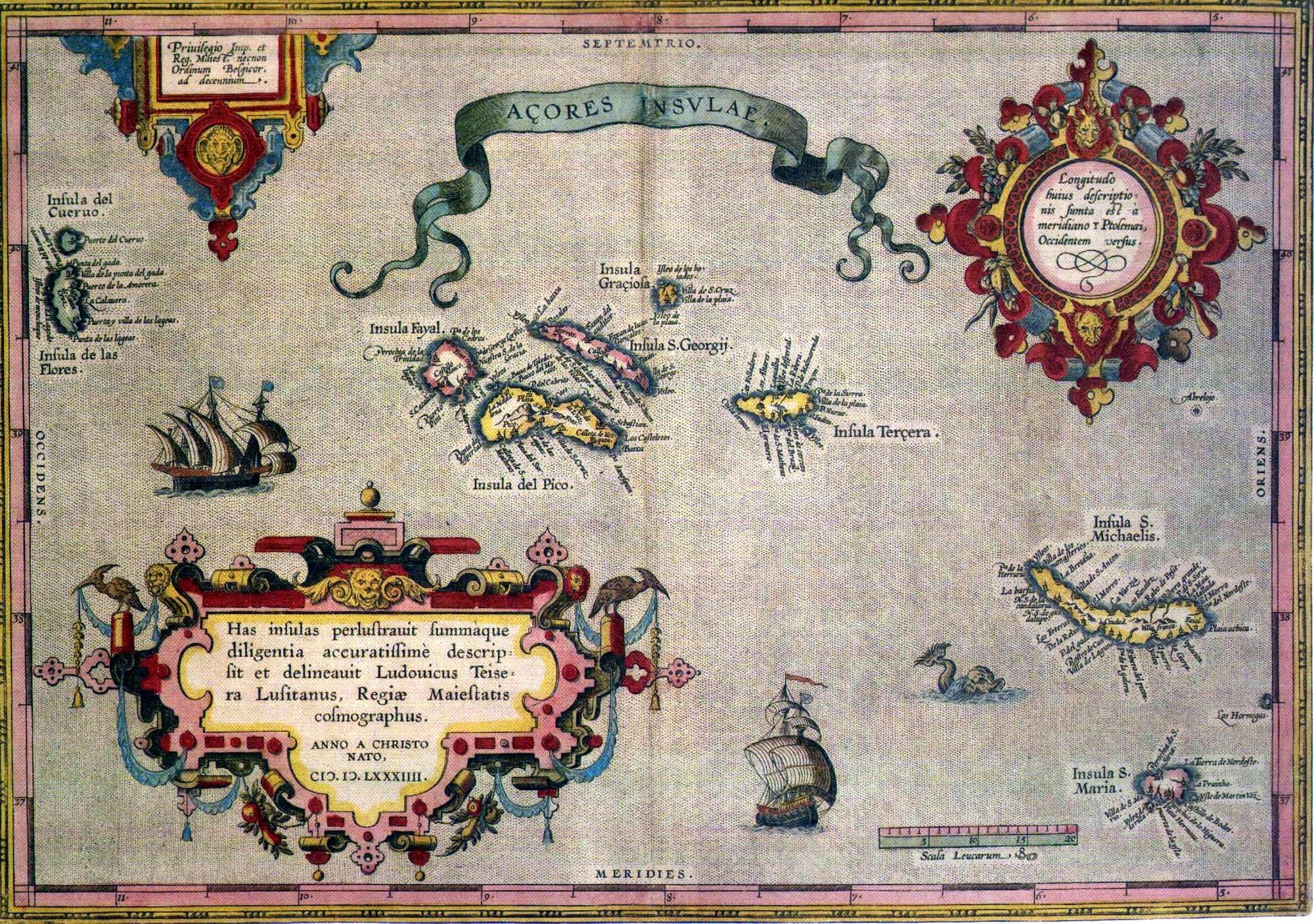
The Azores are nine volcanic islands scattered across 600 kilometres of the mid- Atlantic, roughly a third of the way from Portugal to North America, sitting on the seam where three of the planet's tectonic plates meet. Their whole significance has come from that position. They were empty when Portugal found them, so they have no deep indigenous past; instead their history is about what an ocean crossroads is good for — a place to reprovision a fleet, a place to recruit a whaling crew, a place people leave.
A short history
- 1427–1452
Discovery and settlement
Portuguese navigators reach the uninhabited islands and begin settling them.
- 15th–16th c.
Wheat, woad, and Flemings
The islands export grain and dye; Flemish colonists arrive in numbers.
- 16th–17th c.
The treasure-fleet stop
Angra becomes a fortified way station for ships returning from the Indies and the Americas.
- 1580–1583
Resisting Spain
Terceira is the last part of the Portuguese world to submit to the Spanish crown.
- 1828–1834
The Liberal Wars
Terceira is the base of Portugal's exiled liberal government.
- 19th–20th c.
Emigration
Whaling and hardship draw Azoreans to New England, California and Canada.
- 1957–1958
Capelinhos
An eruption on Faial buries farmland and triggers a wave of migration to the United States.
- 1976
Autonomy
The Azores become a self-governing region of Portugal.
Settling an empty archipelago
Portuguese ships sponsored by Prince Henry the Navigator reached the Azores in stages between 1427 and the 1450s and found no one there. Settlement began around 1439 on Santa Maria and São Miguel and spread west over the following century and a half. The settlers were mostly mainland Portuguese, but a striking number were Flemish — brought in under Portuguese nobles in the 15th century — and the islands were long known abroad as the Flemish Islands. Enslaved Africans, and Jewish and Moorish converts, were part of the mix too.
The early economy was agricultural export: wheat that helped feed mainland Portugal and Madeira, and woad, a blue dye plant shipped to the cloth towns of Flanders. Later came oranges — a huge 19th-century trade sending Azorean fruit to Britain until disease and competition killed it — and, in time, the dairy cattle that now cover the islands and supply much of Portugal's milk and cheese.
São Miguel's orange trade with Britain paid for much of Ponta Delgada's grander architecture in the 18th and 19th centuries, before disease wiped the orchards out.
The crossroads of the Atlantic
Once Portugal and Spain had built their ocean empires, the Azores became almost unavoidable. Ships coming home from India or from the Americas, riding the prevailing winds, made landfall here to take on water and food and to gather into convoys before the last leg to Lisbon or Seville. Angra, on Terceira, grew into a wealthy, heavily fortified port on the strength of that traffic — and a magnet for the privateers who lurked nearby hoping to catch a straggler from the treasure fleet.
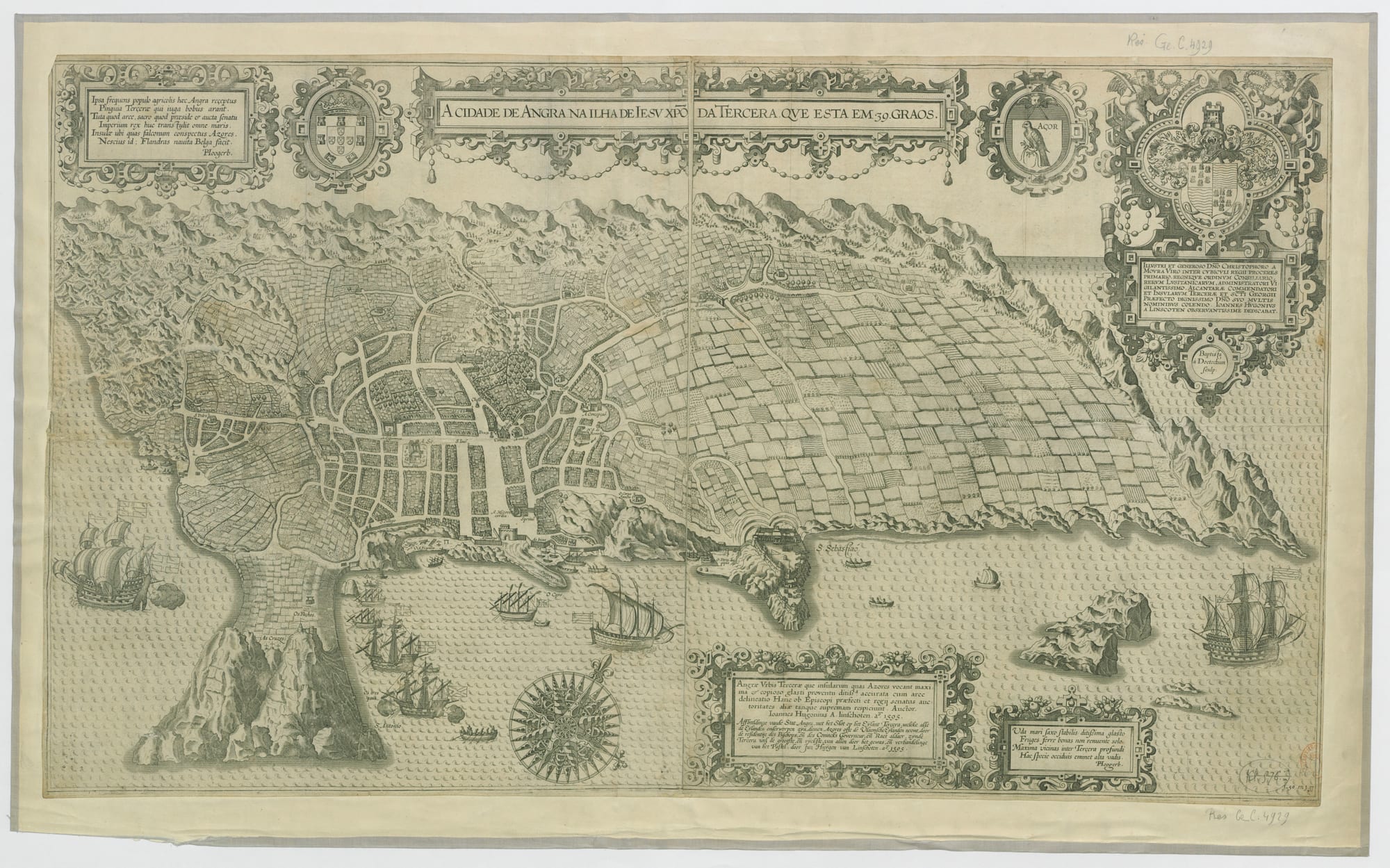
When Spain's king claimed the Portuguese throne in 1580, Terceira refused to recognise him and held out for a rival Portuguese claimant until a Spanish army finally took the island in 1583 — making the Azores the last corner of the Portuguese world to fall under Spanish rule, and, in 1640, among the first to declare for the restored Portuguese king.
Angra of Heroism
The islands earned their most heroic chapter in the Portuguese civil war of 1828–1834, fought between constitutional liberals and the absolutist king Miguel. Terceira became the refuge and seat of the exiled liberal government; an absolutist attack was thrown back at Praia in 1829, and the liberal army that eventually landed in mainland Portugal and won the war sailed from Terceira. For this the island's capital was given the name it still carries — Angra do Heroísmo, "Angra of Heroism".
Whaling and the age of leaving
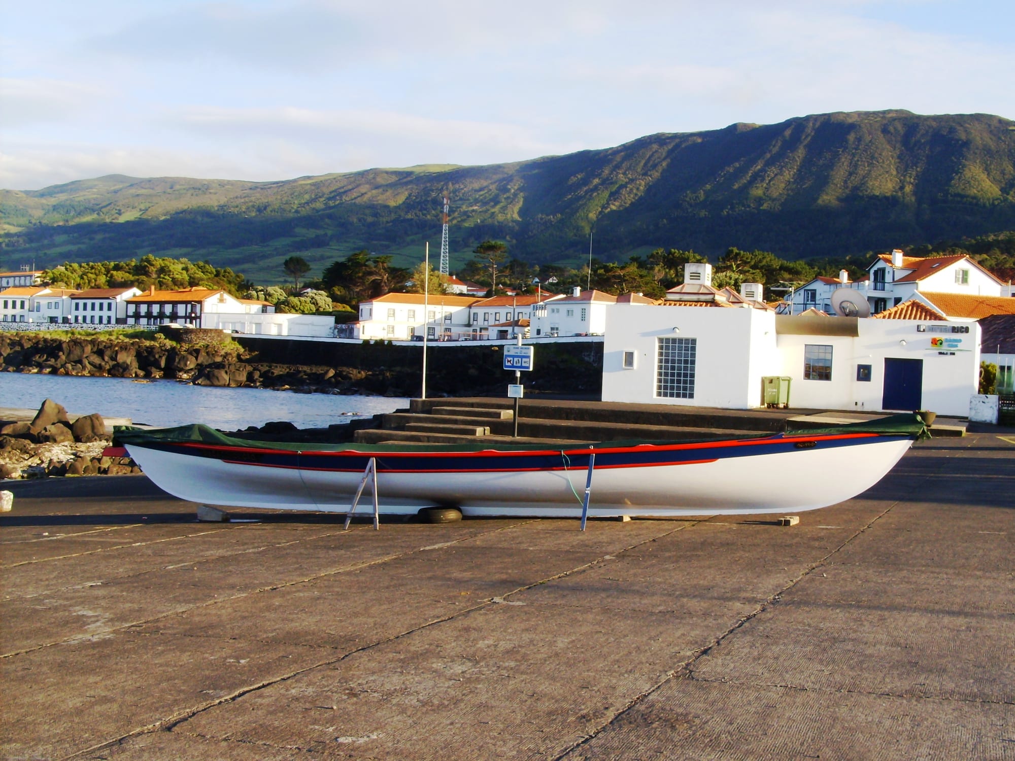
For most of its modern history the Azores has exported people. Poverty, small farms and periodic disaster pushed generations abroad: to Brazil, and above all, from the 19th century, to North America. American whaling ships called at the islands to sign on crew, and Azorean harpooners and their families put down roots in New England ports, then in the dairy country of California, and in Ontario and Quebec. Whaling became a local trade too — sperm whales hunted from open boats launched off the beach — and it continued until the mid-1980s, when Portugal ended it; the islands turned to whale-watching instead.
Eruptions have repeatedly forced the issue. The most famous, at Capelinhos on the western tip of Faial in 1957–58, buried farms and homes under ash and prompted the United States to pass special legislation admitting Azorean refugees — several thousand of whom left for America as a direct result.
Base, and autonomy
The islands' strategic value returned in the 20th century. In 1943 neutral Portugal, invoking its centuries-old alliance with Britain, allowed the Allies to use an airfield at Lajes on Terceira for anti-submarine patrols over the mid- Atlantic — a serious contribution to winning the Battle of the Atlantic. Lajes then passed to the United States, which still operates it as a transatlantic air base.
After Portugal's 1974 revolution, and a brief flurry of separatist agitation, the 1976 constitution made the Azores an Autonomous Region with its own elected government and parliament and broad control of its own affairs. Since the opening of the islands' skies to low-cost airlines around 2015, tourism has grown fast, adding to an economy still built on cattle, fish and the public payroll.
What the Azores keep
The Azores are a small society with a very large diaspora — there are likely more people of Azorean descent in North America than in the islands themselves — and that connection, along with the Catholic festivals brought overseas and back, is central to how Azoreans see themselves. The islands were made by their position in the ocean: useful to every fleet that crossed the Atlantic, and hard enough to live on that leaving has always been part of the story.