History · The Gambia
The Gambia: The Country Shaped by a River
The smallest nation on mainland Africa — a ribbon of land along one river, a British foothold inside French Senegal, a slaving route, and thirty years of democracy bracketed by two long dictatorships
By Worldlore Editorial · 19 September 2026
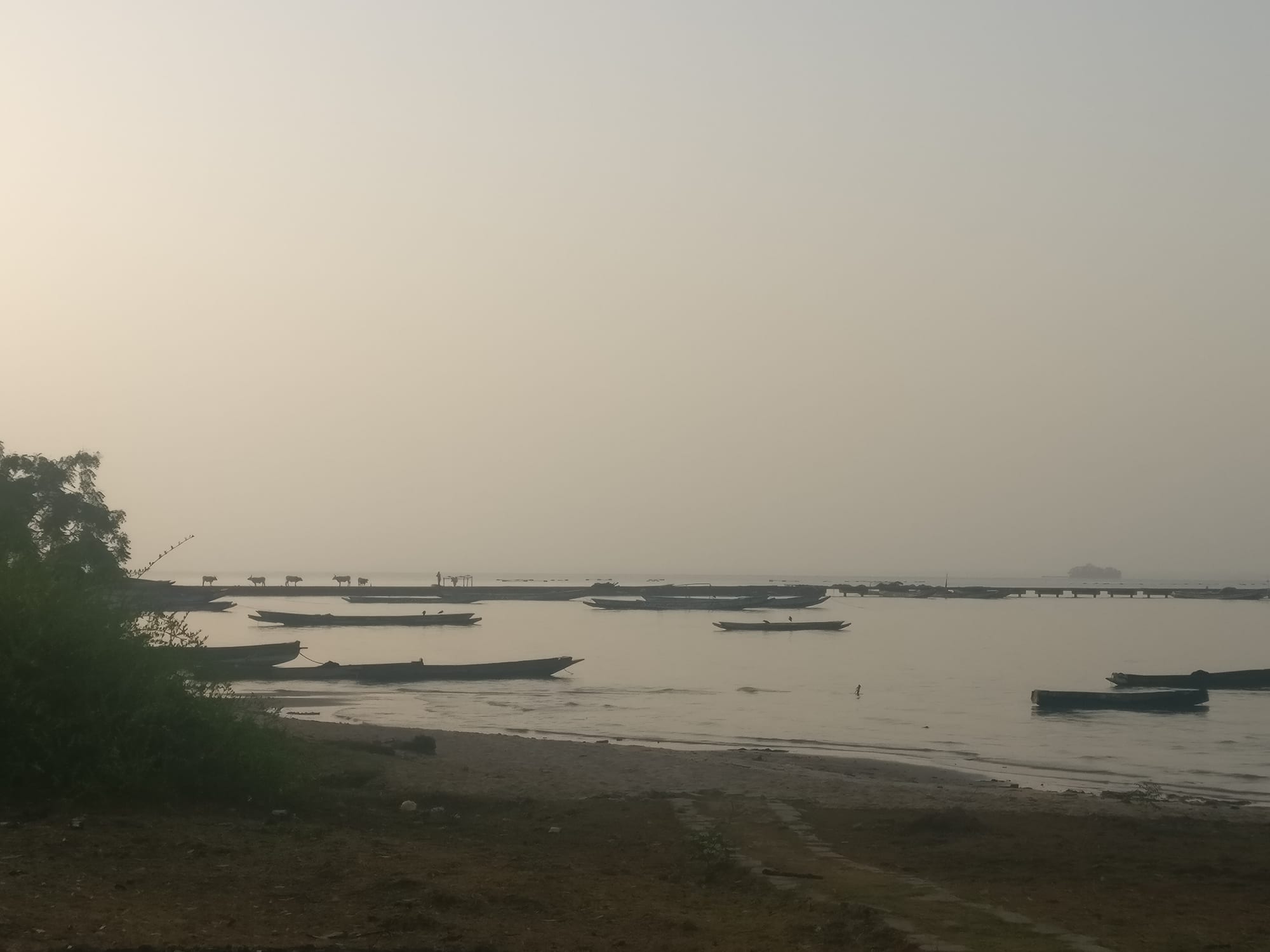
A river with a country around it
The Gambia is the smallest country on the African mainland, and one of the strangest in shape: a strip of land rarely more than fifty kilometres wide, following the Gambia River some 450 kilometres inland, surrounded on every side but the coast by Senegal. The outline is a colonial fossil — Britain wanted the river, France wanted the land around it, and the border was drawn, more or less, along the range of a gunboat's guns. About 2.5 million people live there, most of them Muslim, speaking Mandinka, Fula, Wolof, Jola and other languages.
A short history
- to 16th century
The stone circles
Centuries of burial monuments along the middle river.
- 13th–15th centuries
Mali
The river valley lies within the Mali Empire's western reach.
- 1455–1456
Portuguese contact
Cadamosto explores the Gambia River.
- c. 1661
Fort James
England fortifies an island; the river becomes a slaving route.
- 1816
Bathurst
Britain founds the town now called Banjul.
- 1889
The borders
Anglo-French agreements fix The Gambia's shape.
- 1965
Independence
Dawda Jawara leads the country to statehood.
- 1994
Jammeh's coup
A 29-year-old lieutenant seizes power for 22 years.
- 2017
Restoration
Jammeh goes into exile after losing an election.
The river valley
The middle Gambia was long settled: the stone circles at Wassu and Kerbatch, raised over many centuries as burial monuments, mark a society with organisation and reach, and are now a World Heritage Site shared with Senegal.
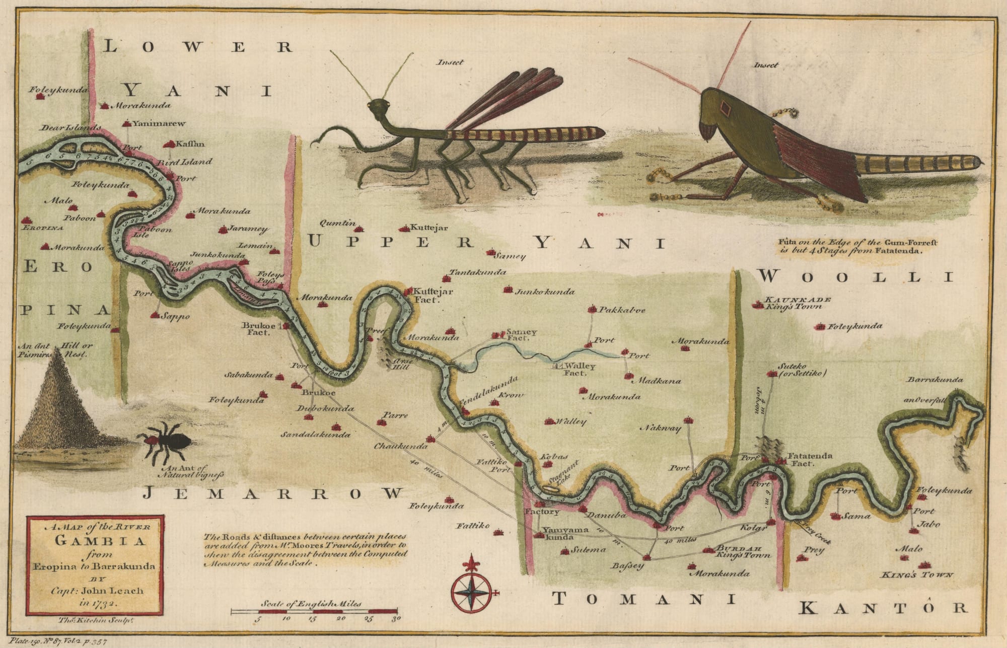
By the medieval period the valley lay within the western reach of the Mali Empire, divided among small Mandinka kingdoms along the banks. The river was a trade route for gold, ivory and salt — and, after Europeans arrived, for people.
Trade and the fort
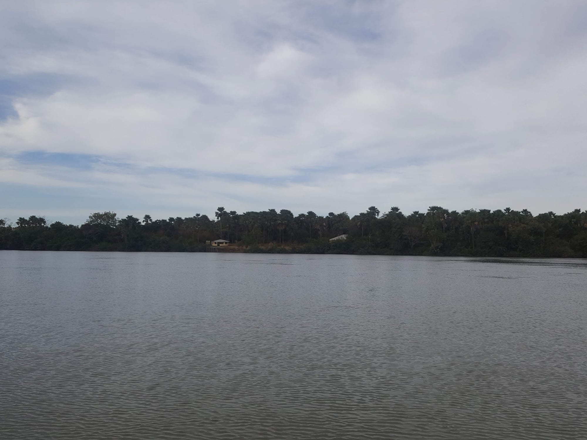
Portuguese ships entered the Gambia in 1455. English, French, Dutch and even Courlander traders followed, and around 1661 England fortified an island midway up the river as Fort James, a base of the Royal African Company. For a century and a half the Gambia was a working slaving route, supplying an estimated few per cent of the transatlantic trade. The river, the fort and the village of Juffureh became world-famous through Alex Haley's Roots, whose ancestor Kunta Kinte is taken from there.
The British colony
Britain abolished the slave trade in 1807 and founded Bathurst — now Banjul — in 1816 as a base to police it. The Gambia was run at first from Sierra Leone, made a separate colony in 1888, and given its peculiar borders by agreement with France in 1889. In the interior, the 19th-century Soninke–Marabout wars between Muslim reformers and traditional rulers spread Islam and reshaped local power. The colonial economy narrowed to a single crop: groundnuts, grown for export from the 1830s on.
Jawara, and Jammeh
The Gambia became independent on 18 February 1965 under Dawda Jawara, and a republic in 1970.
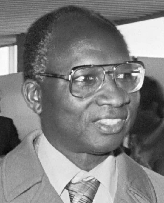
Jawara governed for almost thirty years. He survived a bloody 1981 coup attempt with Senegalese military help, which briefly produced a Senegambia Confederation before Gambian fears of being swallowed dissolved it in 1989.
In 1994 a 29-year-old army lieutenant, Yahya Jammeh, took power in a coup and kept it for 22 years.
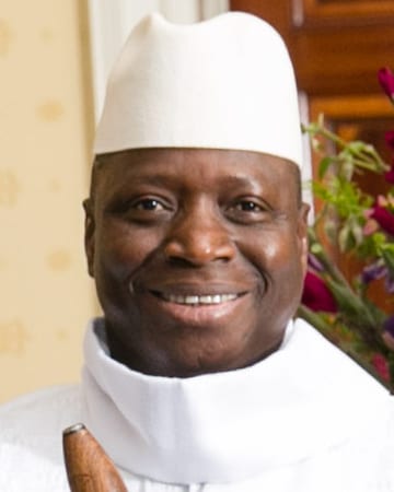
His rule grew steadily more repressive and erratic, and drove tens of thousands of young Gambians to attempt the migrant route to Europe. In December 2016 Jammeh lost the presidential election to Adama Barrow, conceded, then reversed himself. When his term ran out in January 2017, a regional military force led by Senegal crossed the border, and Jammeh flew into exile in Equatorial Guinea. A truth commission later documented the crimes of his years in power.
What The Gambia carries
The Gambia's shape tells its history at a glance: a country that exists because a European power wanted control of a river and its trade, drawn so narrow that no point is far from the water. Within that ribbon it has managed something many larger neighbours did not — thirty years of working democracy under Jawara, and a peaceful, if externally enforced, return to it after Jammeh.