Attractions & Natural Wonders · Djibouti
Djibouti: Six Attractions and Natural Wonders
The lowest point in Africa, a lake bristling with limestone chimneys that steam at dawn, a pocket of juniper forest in the desert, and whale sharks in a warm gulf
By Worldlore Editorial · 19 September 2026
A small country on a geological seam
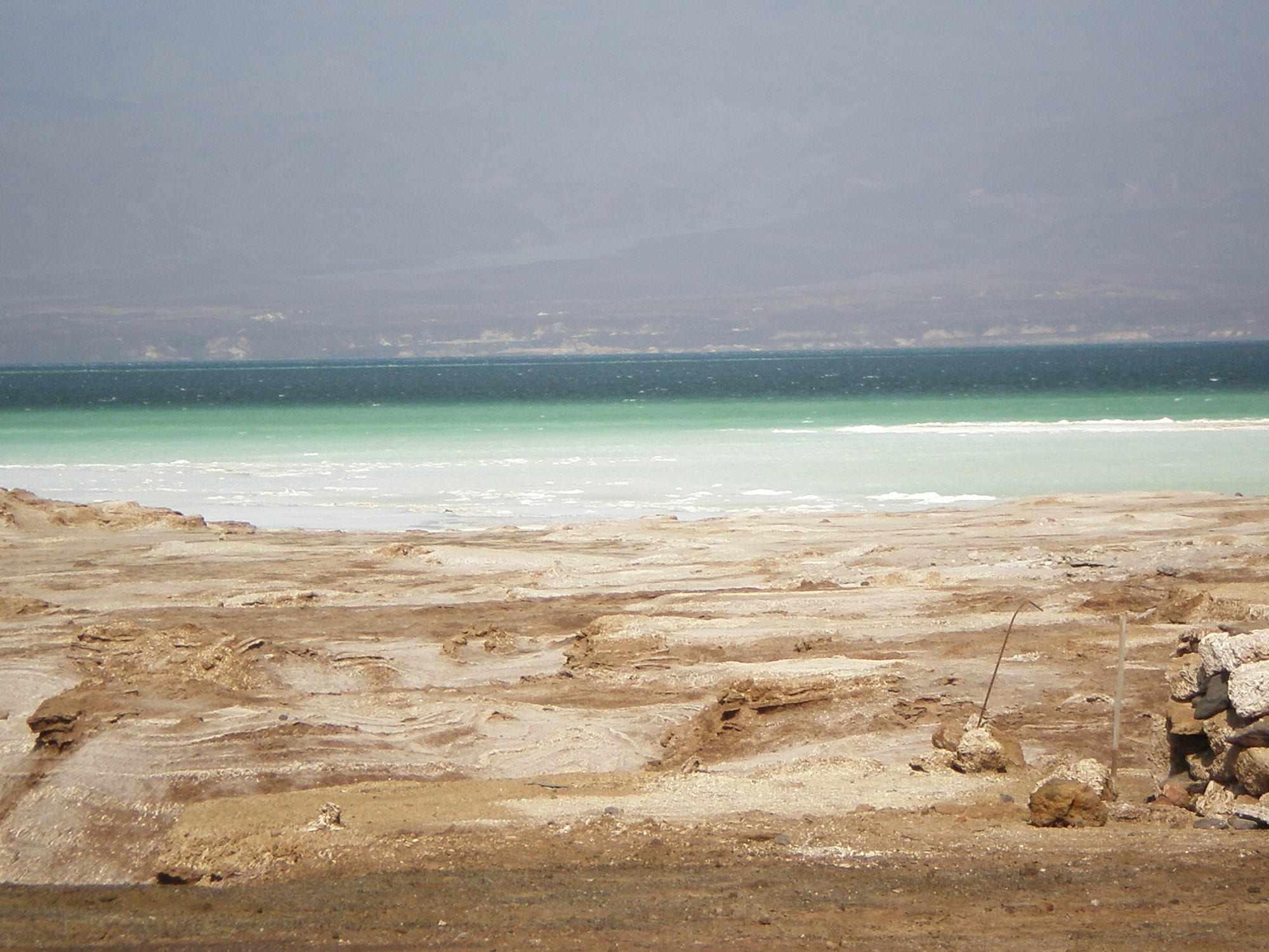
Djibouti is a small, hot, desert country at the mouth of the Red Sea, where three tectonic plates are slowly pulling apart — which is why it has volcanoes, salt lakes far below sea level, and steaming fissures. It is strategically placed (there are French, US, Chinese, and other military bases here) and its economy runs on the port that serves landlocked Ethiopia. Tourism is tiny, and travel means 4x4s and guides, but the landscapes are genuinely otherworldly.
The six below are within a day's drive of the capital. It is intensely hot from May to September; October to April is the season, and even then it is warm.
1. Lake Abbe
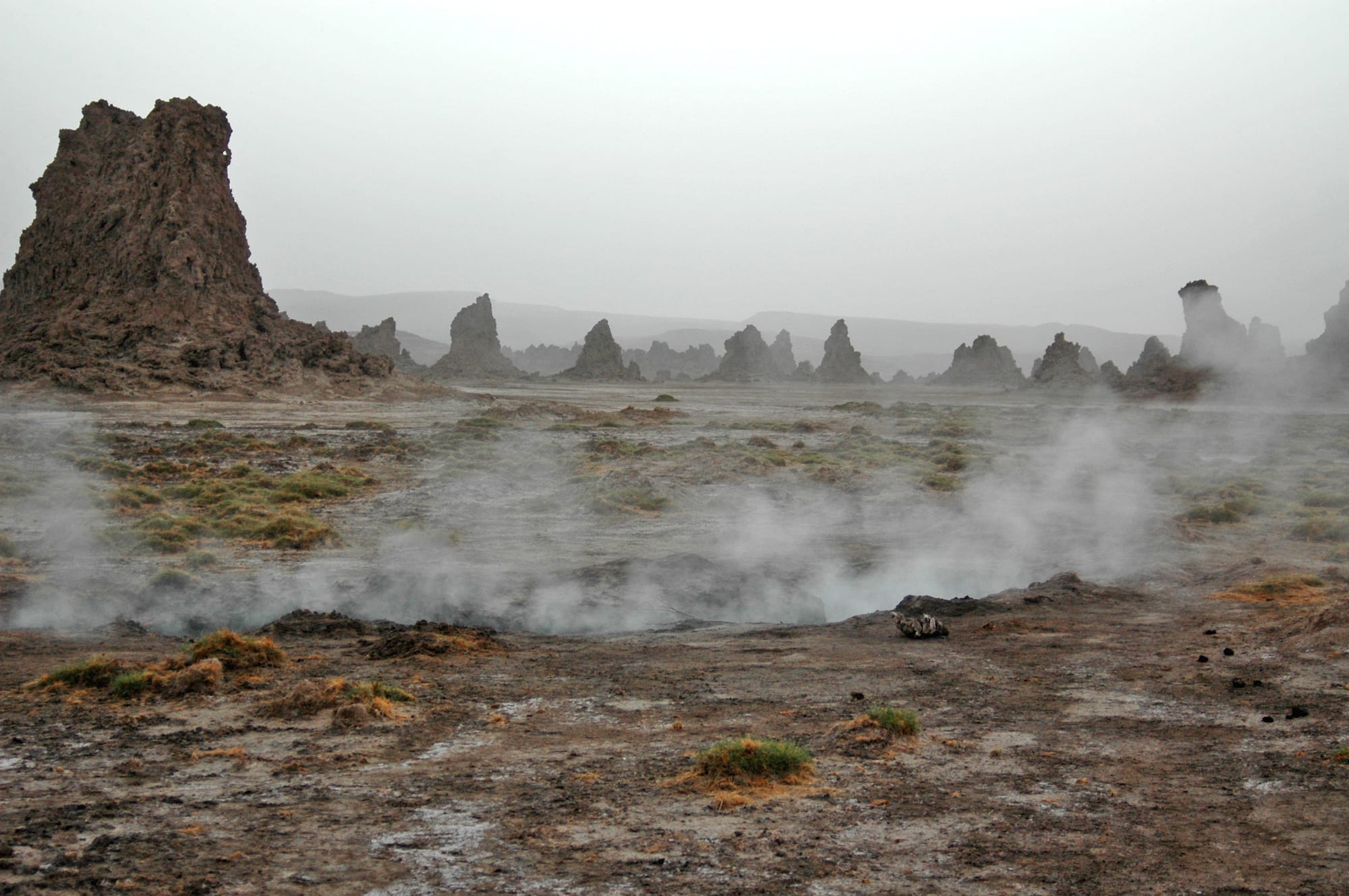
On the Ethiopian border in the far southwest, Lake Abbe is a shrinking salt lake surrounded by hundreds of limestone chimneys — mineral towers deposited where geothermal springs once bubbled up through the water. At dawn, with steam still rising from some of them and flamingos on the shallows, the plain looks like another planet, which is why Planet of the Apes was partly filmed here in 1967.
You camp overnight to catch the sunrise; the drive from the capital takes most of a day.
2. Lake Assal
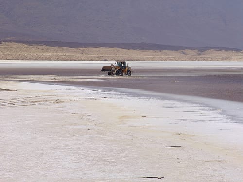
Lake Assal sits in a volcanic crater 155 metres below sea level — the lowest land in Africa — and, at around ten times the salinity of the ocean, one of the most saline lakes anywhere. A crust of white salt rings the turquoise water, and salt has been harvested and traded from here along caravan routes for centuries.
It is about two hours from the capital on a paved road, past the Ardoukoba volcano (which last erupted in 1978) and lava fields, making it the most accessible of Djibouti's wonders.
3. The Day Forest National Park
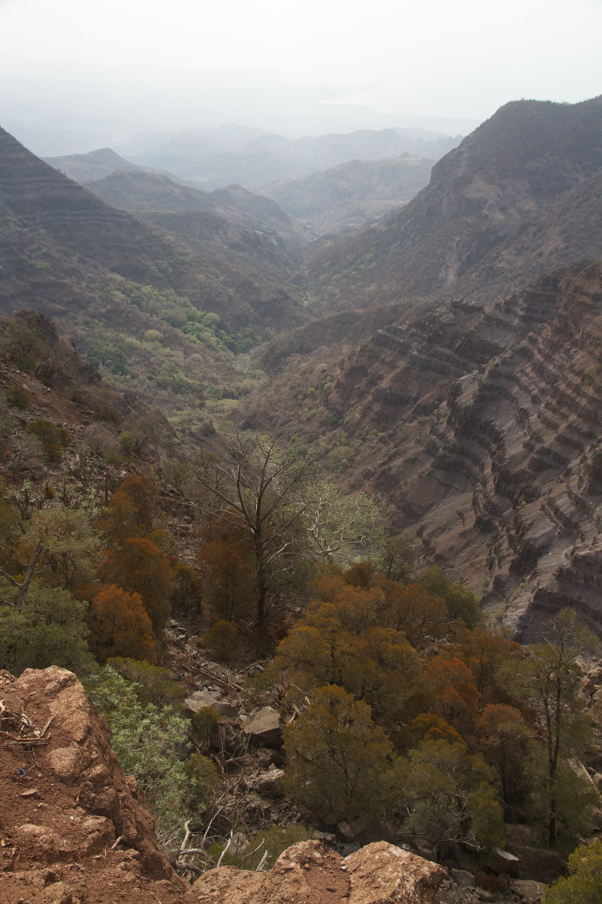
High in the Goda Mountains north of the Gulf of Tadjoura, the Forêt du Day is a surviving fragment of the ancient forest that once covered the highlands — Juniperus procera, wild olive, and box, at around 1,500 metres, cool and mist-fed. It is Djibouti's only national park and its main hiking area, home to the endangered Djibouti francolin, a bird found nowhere else.
The forest has been badly degraded by drought and grazing, and much of it is now dead standing timber, but the walk up through it, and the villages of the Goda, are the green counterpoint to the salt lakes.
4. The Grand Bara desert
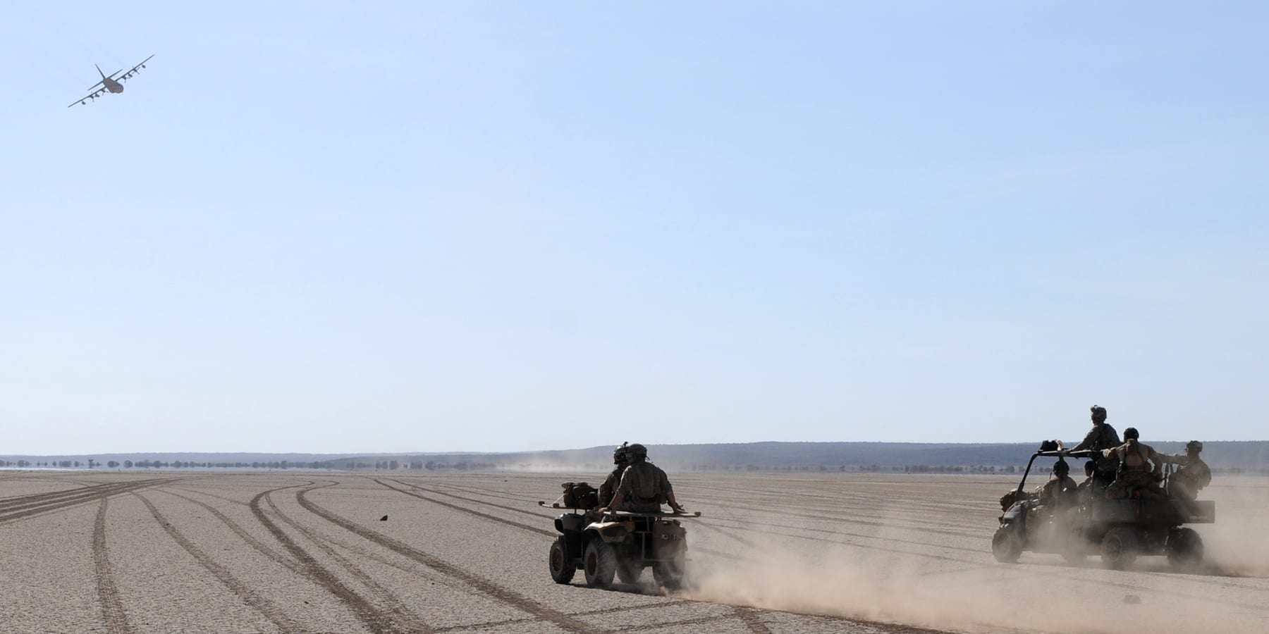
The Grand Bara is an immense, table-flat plain of hard-packed sand and clay — the floor of a dried lake — on the road between the capital and the south. It is so level and firm that vehicles drive across it at speed, and the French Foreign Legion holds an annual 15-kilometre "Marche du Grand Bara" race over it.
It is a place to feel the scale of the landscape, usually crossed on the way to Lake Abbe or the Dikhil region.
5. The Gulf of Tadjoura and Moucha Island
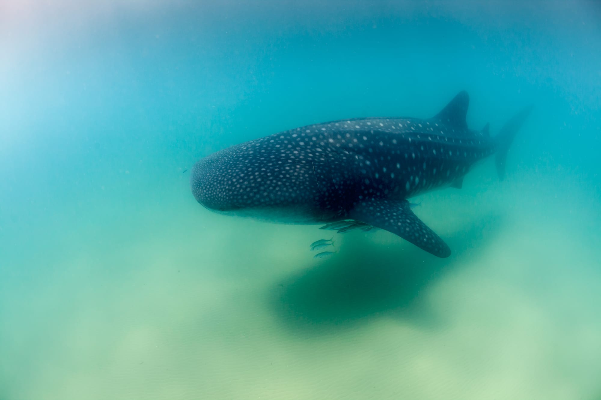
The Gulf of Tadjoura, the deep inlet that all but cuts Djibouti in two, is the country's marine playground. The low coral islands of Moucha and Maskali, off the capital, have beaches, reefs, and simple huts for day trips or overnights. And from about November to February, whale sharks — the largest fish in the world — gather to feed in the plankton-rich water near Arta and the "Bay of Ghoubbet", one of the more reliable places on Earth to snorkel with them.
Boats and dive centres operate out of Djibouti City.
6. Djibouti City
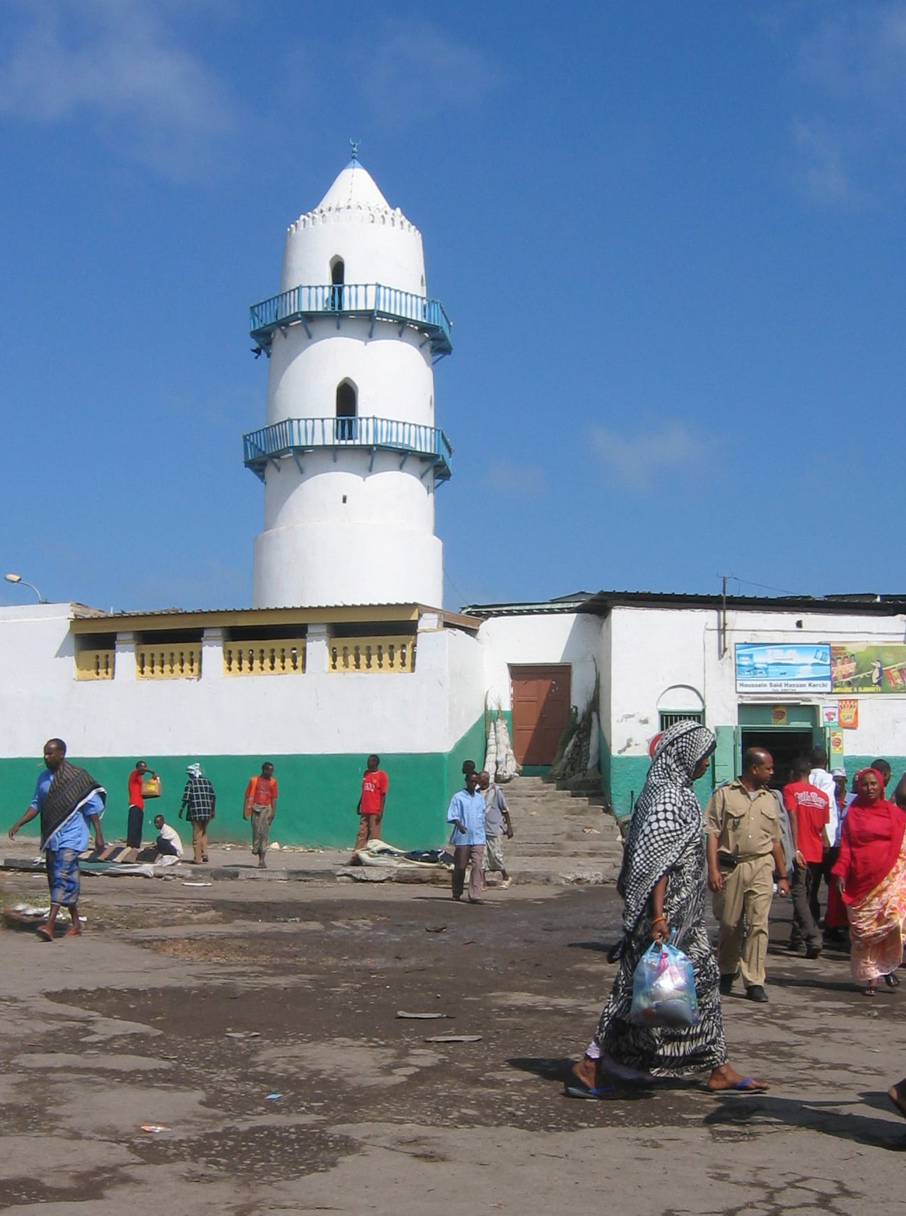
The capital is a compact port city with a French-colonial European quarter of arcaded buildings — the white Hamoudi Mosque, the Place Menelik, the covered market — and a livelier African quarter behind it. It is hot, dusty, and functional rather than pretty, but it is the base for everything, with the country's hotels, dive operators, and tour agencies.
Across the gulf, the old sultanate town of Tadjoura — the "white city" of whitewashed houses and seven mosques — makes a quieter alternative base for the Goda mountains.
Djibouti is a short, intense trip: three or four days of 4x4 excursions covers the lakes and the forest, with a whale-shark day or an island overnight added in the cooler months.