Attractions & Natural Wonders · Caribbean Netherlands
The Caribbean Netherlands: Seven Attractions and Natural Wonders
A fringing reef you can dive straight off the shore, a five-square-mile island with a cloud forest on top, and a dormant volcano called the Quill
By Worldlore Editorial · 9 September 2026
Three small islands, one country
The Caribbean Netherlands — officially the "BES islands", for Bonaire, Sint Eustatius, and Saba — are three special municipalities of the Netherlands scattered across the Caribbean. Bonaire sits off Venezuela with Aruba and Curaçao; Saba and Sint Eustatius are tiny volcanic specks far to the north, near Sint Maarten. They have almost nothing in common except the flag, and no mass tourism at all. What they share is world-class diving.
The seven below cover all three. Bonaire has an airport with direct flights; Saba and Statia are reached by small plane or ferry from Sint Maarten. It is a dry-season destination, outside the main hurricane track for Bonaire (less so for the northern two).
1. Bonaire's shore-diving reef
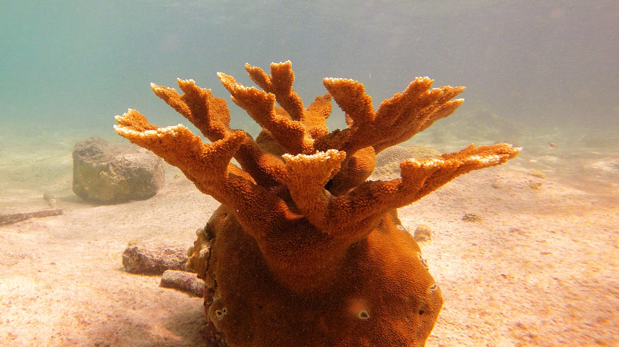
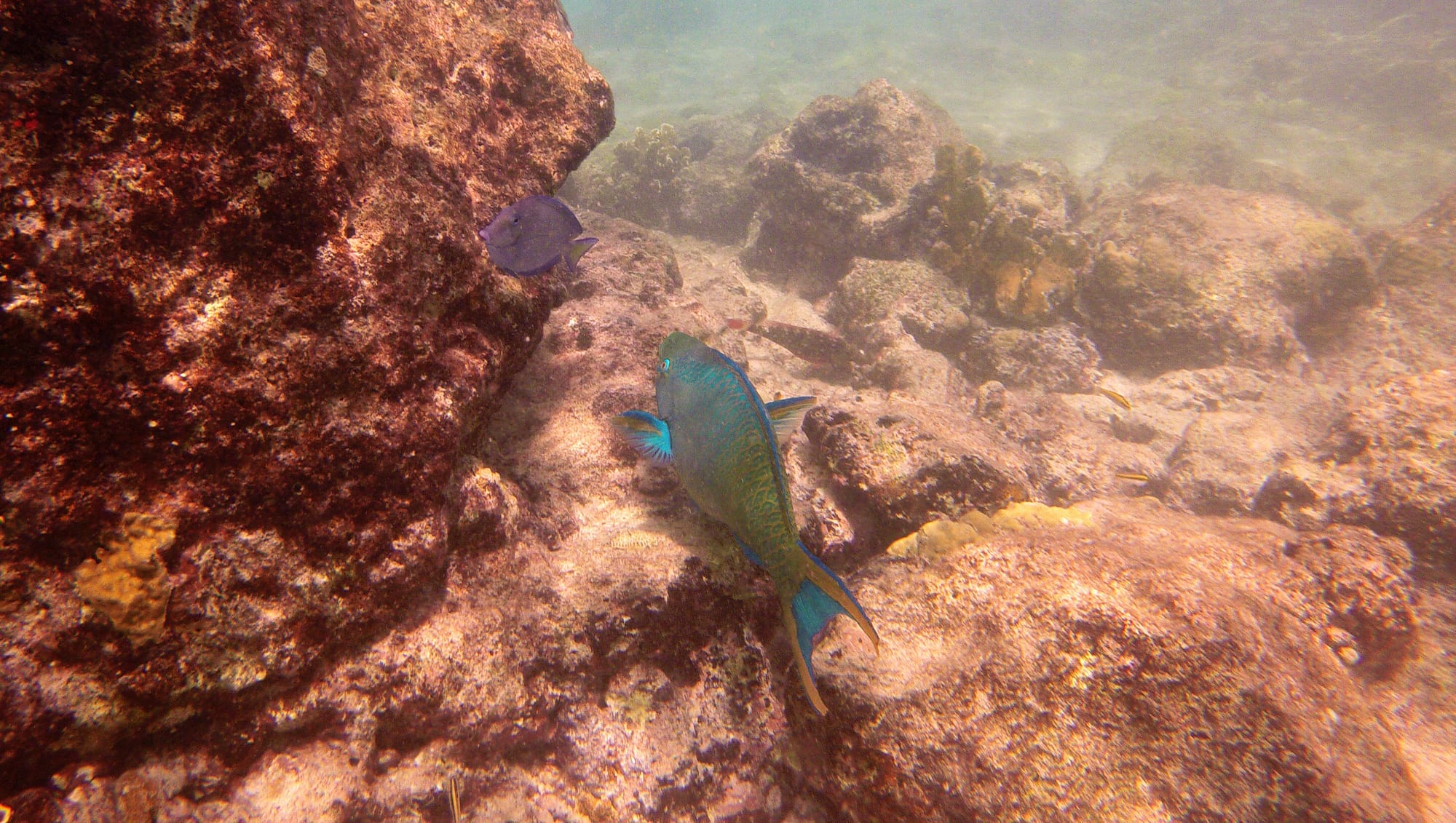
Bonaire made its entire coastline a marine park in 1979, one of the first in the world, and it has protected it fiercely since. The fringing reef runs the length of the leeward coast, close in and in superb condition, and — unusually — you dive it from the shore: park by a painted yellow rock marking a named site, walk in, and go. There are more than 80 such sites.
The island calls itself "Diver's Paradise" (it is on the licence plates), and the diving, snorkelling, and windsurfing at Lac Bay are the whole reason most people come.
2. Washington Slagbaai National Park
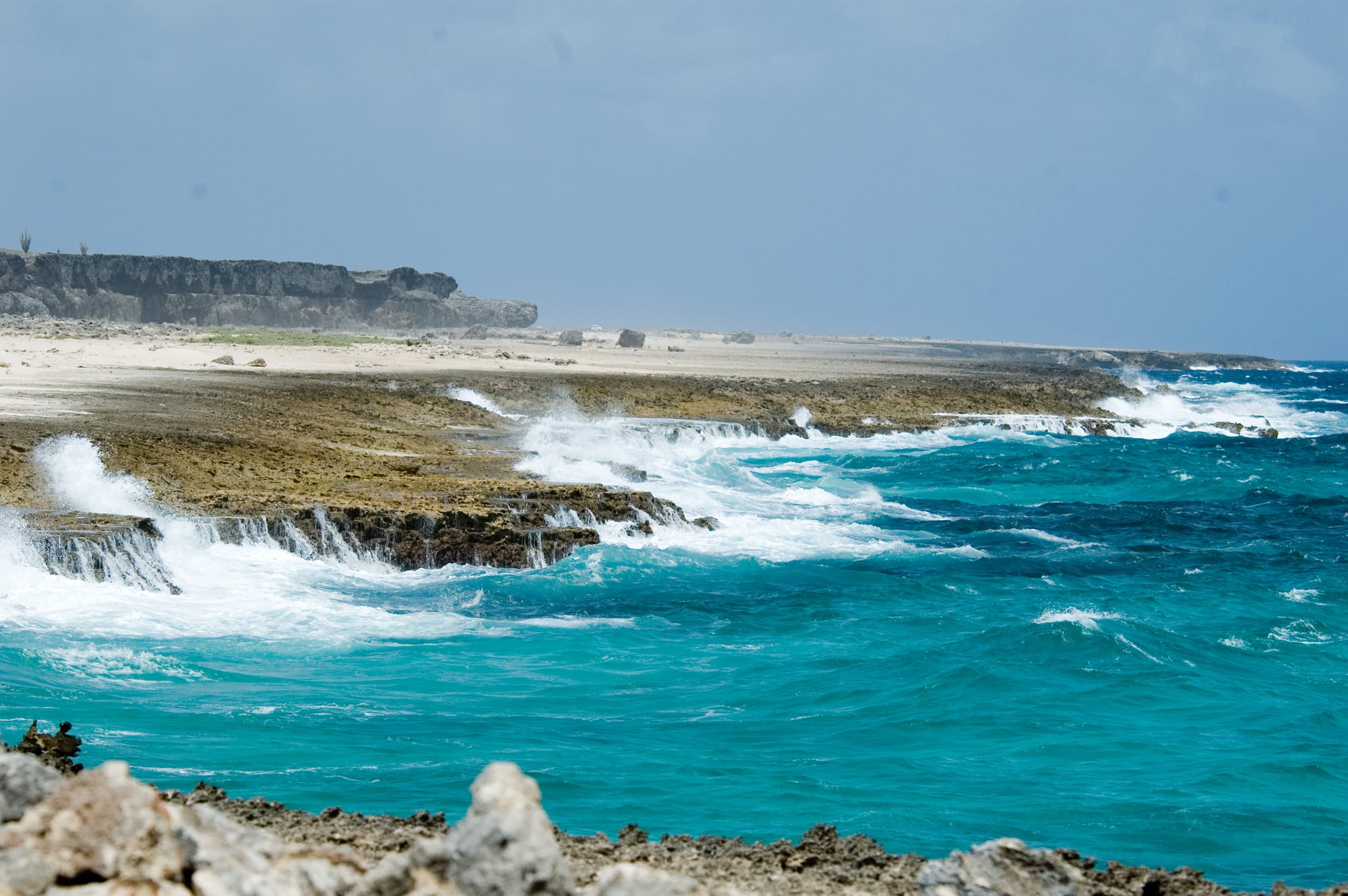
The northern fifth of Bonaire is a national park of dry, cactus-covered hills, old plantation buildings, salt pans, and a rugged coast. A rough one-way loop road (4x4 recommended) links the highlights: the island's high point Brandaris, the Wayaka and Boka Slagbaai swimming and snorkelling spots, flamingo lagoons, and blowholes on the windward cliffs.
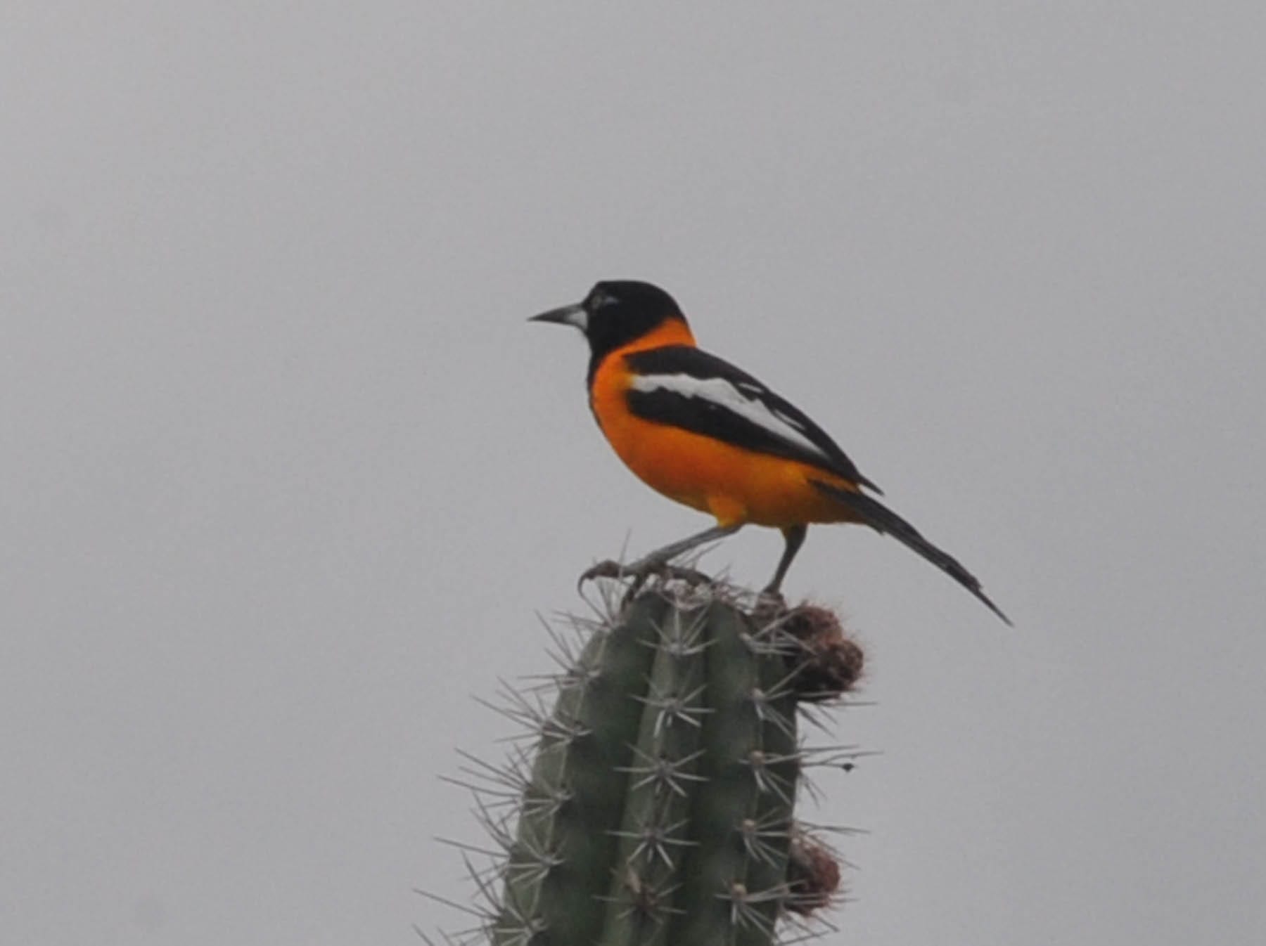
It is home to the yellow-shouldered parrot and, on its remote beaches, nesting sea turtles.
3. The Pekelmeer flamingos and the salt pans
The southern end of Bonaire is a vast working salt operation — blindingly white pans and pink brine, with pyramids of harvested salt at the pier. Alongside it, the Pekelmeer sanctuary is one of only a handful of Caribbean flamingo breeding sites; several thousand birds nest here, and many more feed in the pans, a wall of pink against the white.
Near the pans stand the tiny stone huts where enslaved salt workers were made to sleep, a stark memorial on an otherwise resort-free coast.
4. Klein Bonaire
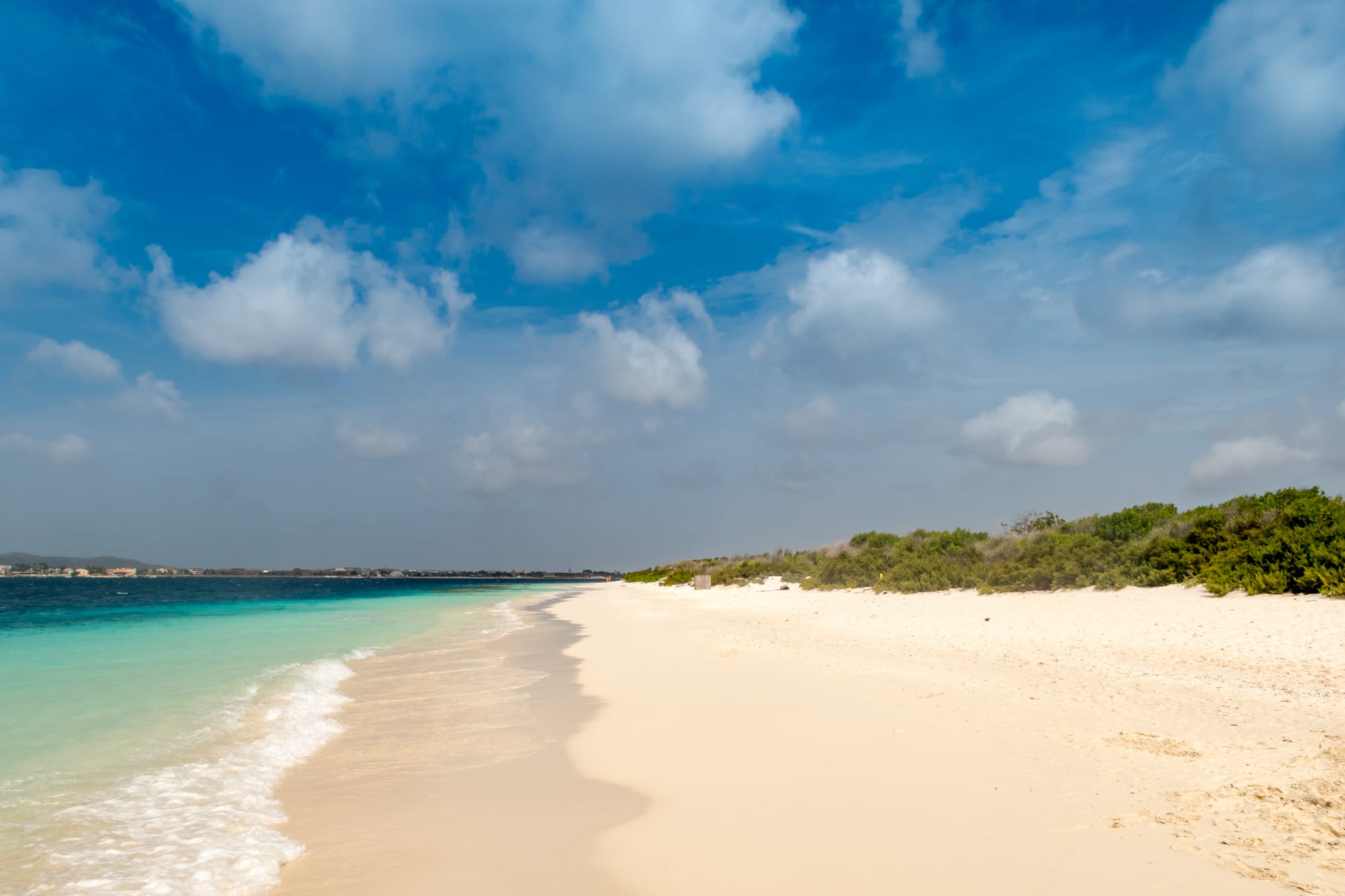
Just off the main town, Kralendijk, lies Klein Bonaire — a flat, uninhabited circle of land about 1.5 square kilometres, protected as part of the marine park, with no buildings and one good beach (No Name Beach). Water taxis run across in a few minutes.
It is a snorkelling and picnic trip: a shallow reef right off the sand, hawksbill turtles, and nothing else. Bring your own shade and water.
5. Saba and Mount Scenery
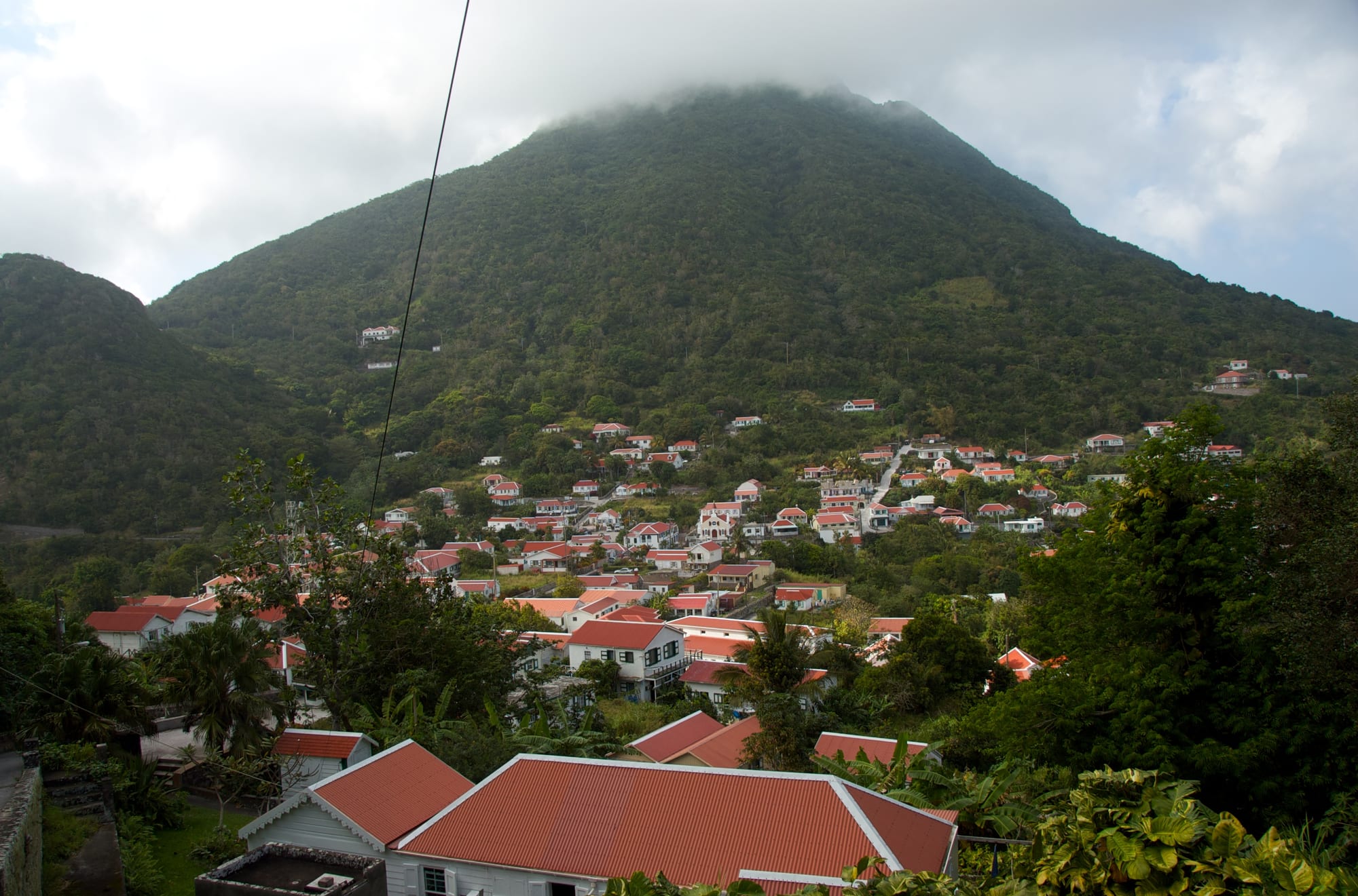
Saba is a single dormant volcano rising sheer from the sea, with no beaches, one switchback road (built by hand after engineers said it couldn't be done), and about 2,000 residents in trim white-and-green cottages. The 1,064-metre summit of Mount Scenery — the highest point in the whole Kingdom of the Netherlands — is reached by a stone staircase of some 1,000 steps through cloud forest of tree ferns and mahogany.
The surrounding waters, a marine park, are famous for pinnacle dives on submerged seamounts.
6. Sint Eustatius and the Quill
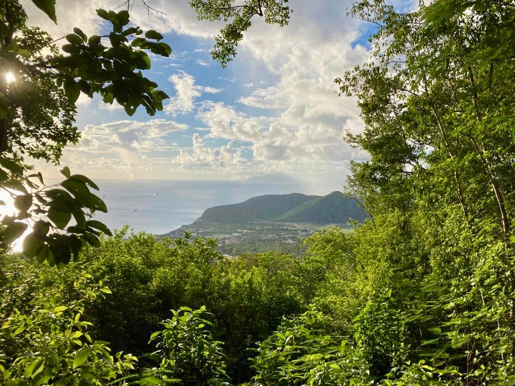
Sint Eustatius ("Statia") was, astonishingly, one of the richest trading ports in the 18th-century world — the "Golden Rock", a free port where the young United States bought much of its gunpowder, which is why a British fleet sacked it in
- Today it is a quiet island of 3,000 people, with the ruins of that boom
along the shore below Fort Oranje in Oranjestad, and a small archaeology museum.
Rising behind the town is the Quill, a textbook dormant volcano whose forested crater you can hike down into. The island's reefs, thick with historic anchors and cannon, are the other draw.
7. Hiking and diving the northern islands
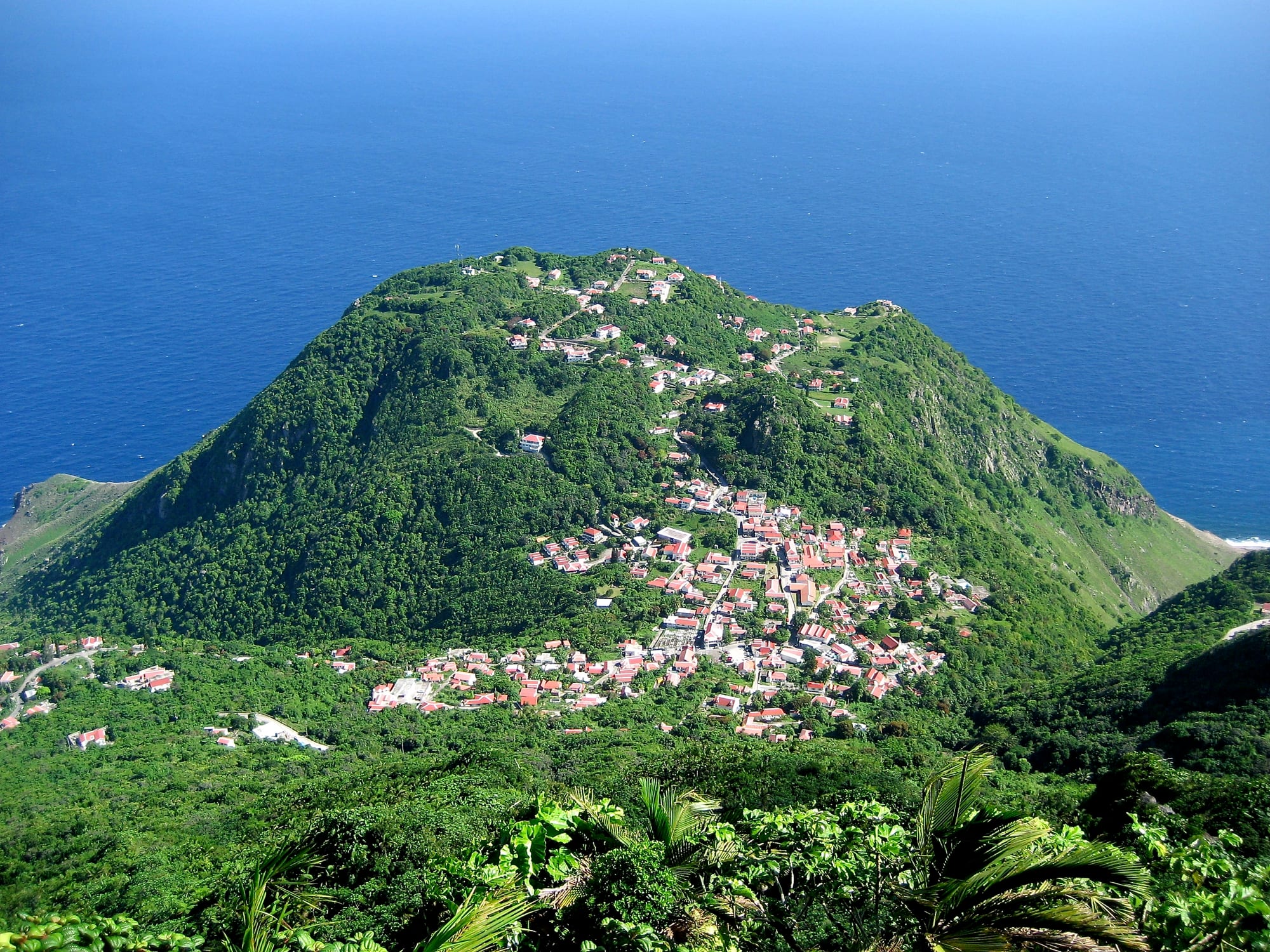
Beyond their headline sights, Saba and Statia are hiking-and-diving islands. Saba has a network of old traders' trails — the Sandy Cruz, the Sulphur Mine track down to a black-sand cove — maintained by the conservation foundation. Statia has around a dozen marked trails, most of them on or around the Quill and the neighbouring Boven hills.
Underwater, both sit on the rim of a submarine volcanic ridge, giving deep-blue walls, pinnacles, and — for experienced divers off Saba — the chance of sharks and big pelagics. Neither island has a chain hotel; you stay in small inns and guesthouses.
The three islands are really three separate trips. Bonaire is a straightforward week of diving and desert; Saba and Statia are best combined with each other or with Sint Maarten, for hiking and quiet.