Attractions & Natural Wonders · Aruba
Aruba: Ten Attractions and Natural Wonders
Calm white beaches on the leeward side, a wild windswept desert on the other, and gold-rush ruins in between
By Worldlore Editorial · 19 September 2026
Two islands in one
Aruba, the westernmost of the Dutch "ABC" islands off the coast of Venezuela, has two completely different coasts. The leeward southwest is where the postcards come from: long, calm, blindingly white beaches and a reliable trade wind. The windward northeast is the opposite — a battered limestone shore of cliffs, blowholes, and cactus scrub, most of it now inside a national park. The interior is dry desert studded with boulder fields and gold-mining ruins.
The ten places below cover both sides. The island is small and flat; a hire car or a Jeep tour opens up the wild half, and the beaches are a short drive from the hotels. It is dry and sunny almost year-round, and outside the hurricane belt.
1. Eagle Beach
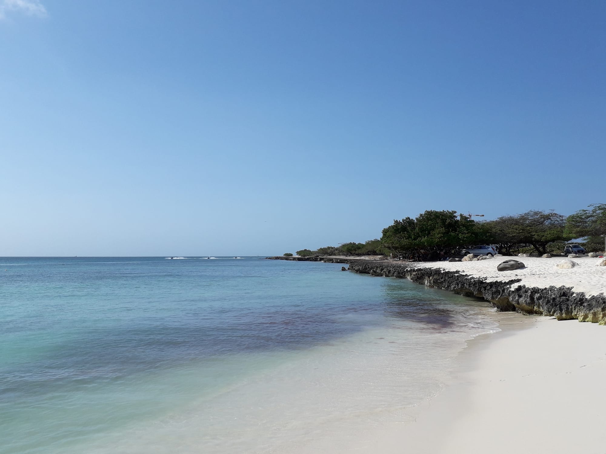
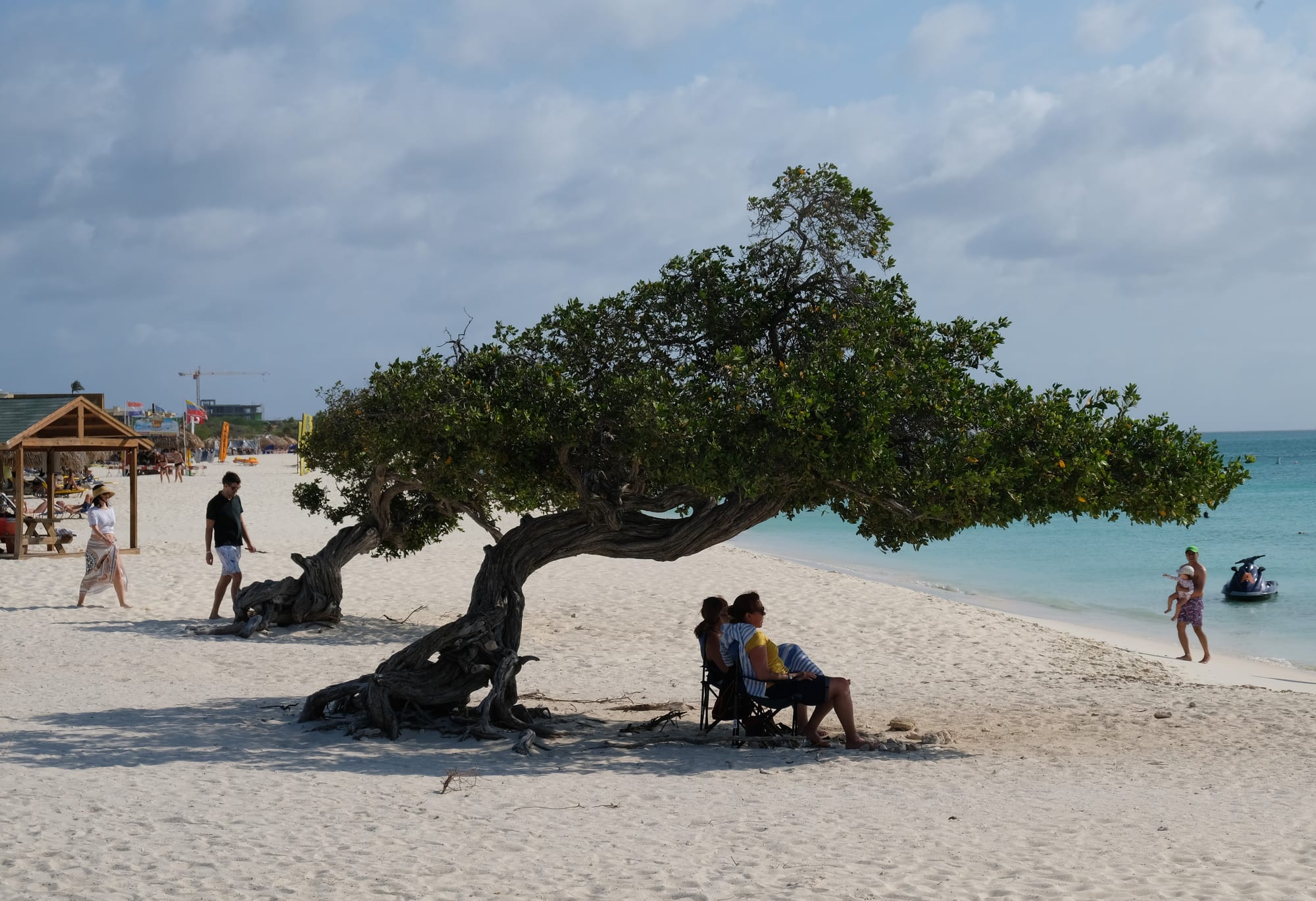
Eagle Beach, on the low-rise stretch of the west coast, is the one that tops the international beach rankings: a very wide band of soft white sand, calm shallow water, and — crucially — no wall of high-rise hotels, just low resorts set back behind the dunes. The two leaning divi-divi trees here are Aruba's unofficial logo.
It is a nesting beach for sea turtles in season, marked off with stakes, and it never feels as crowded as its neighbour Palm Beach because there is simply more room.
2. Palm Beach
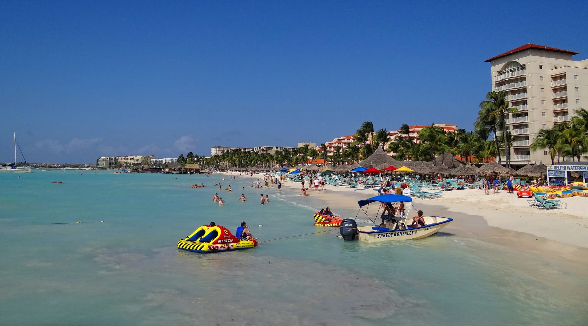
Palm Beach is the other half of the resort coast: two kilometres of calm water backed by the big-name high-rise hotels, casinos, piers, and restaurants. This is where the parasailing, banana boats, sunset cruises, and swim-up bars are, and where the island feels busiest.
Just offshore lies the wreck of the Antilla, a scuttled German freighter from 1940 and one of the largest shipwrecks in the Caribbean — shallow enough that snorkellers can see it, not just divers.
3. Arikok National Park
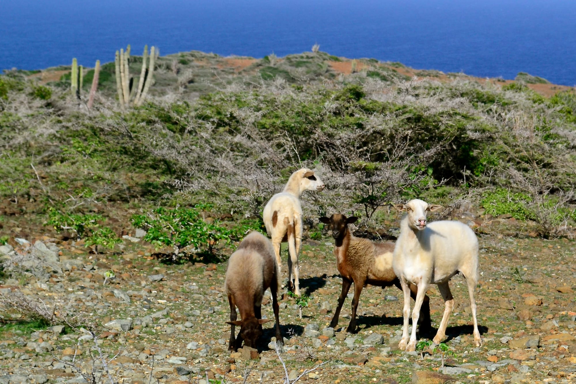
Arikok covers the wild eastern third of the island: a landscape of columnar cactus, aloe, divi-divi, and eroded lava hills, with the island's high point (Jamanota, 188 metres) and a coastline of cliffs and coves pounded by open Atlantic swell. Inside are limestone caves with Arawak rock paintings at Fontein and Quadirikiri, old cunucu farmhouses, and the ruins of a gold mine.
The tracks are rough — a 4x4 is really needed, or a guided Jeep or ATV tour — and the swimming spots (Conchi, Boca Prins, Dos Playa) are for strong swimmers only.
4. The California Lighthouse
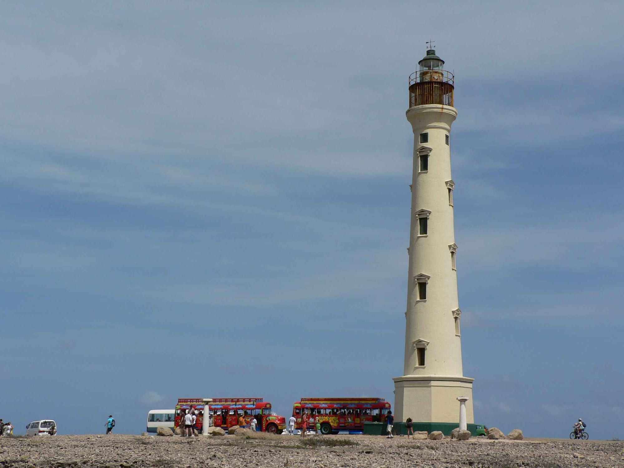
At the far northwestern point of the island, this early-1900s lighthouse stands on a rise of dunes and lava with a 360-degree view — the calm hotel coast on one side, the wild windward shore on the other. It is named after the SS California, which sank nearby.
The area around it, Hudishibana, is a favourite sunset spot, with a couple of restaurants and the island's small links-style golf course. Sand dunes and a natural bridge lie a short walk away.
5. The Natural Pool (Conchi)
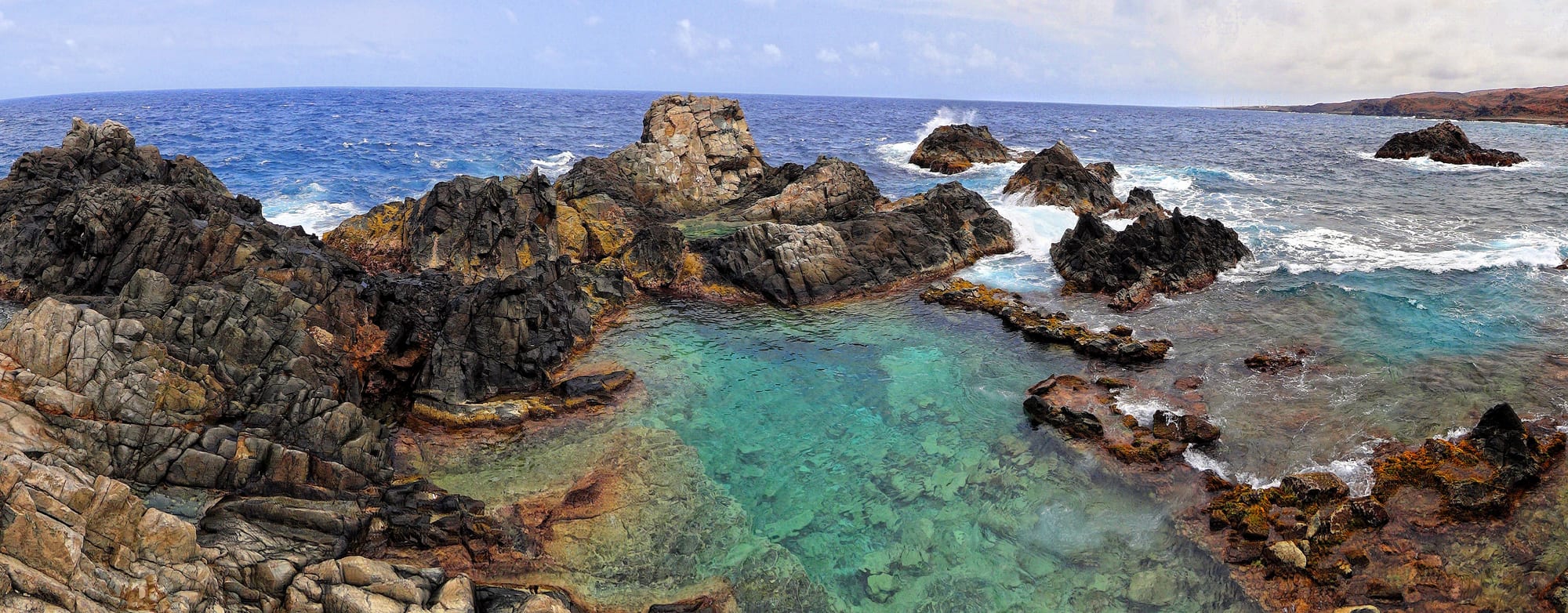
On the battered northeast shore, a circle of black volcanic rock encloses a pool of calm, clear water while the ocean crashes over the barrier behind it. This is the Conchi, or Natural Pool — the one swimming spot on the wild coast that is usually safe, and a reward for the effort of getting there.
There is no road: you reach it on a rough 4x4 track, on a guided horseback ride, or on a fairly demanding hike. Most people come on an organised Jeep or UTV tour that combines it with the caves and the gold-mill ruins.
6. Alto Vista Chapel
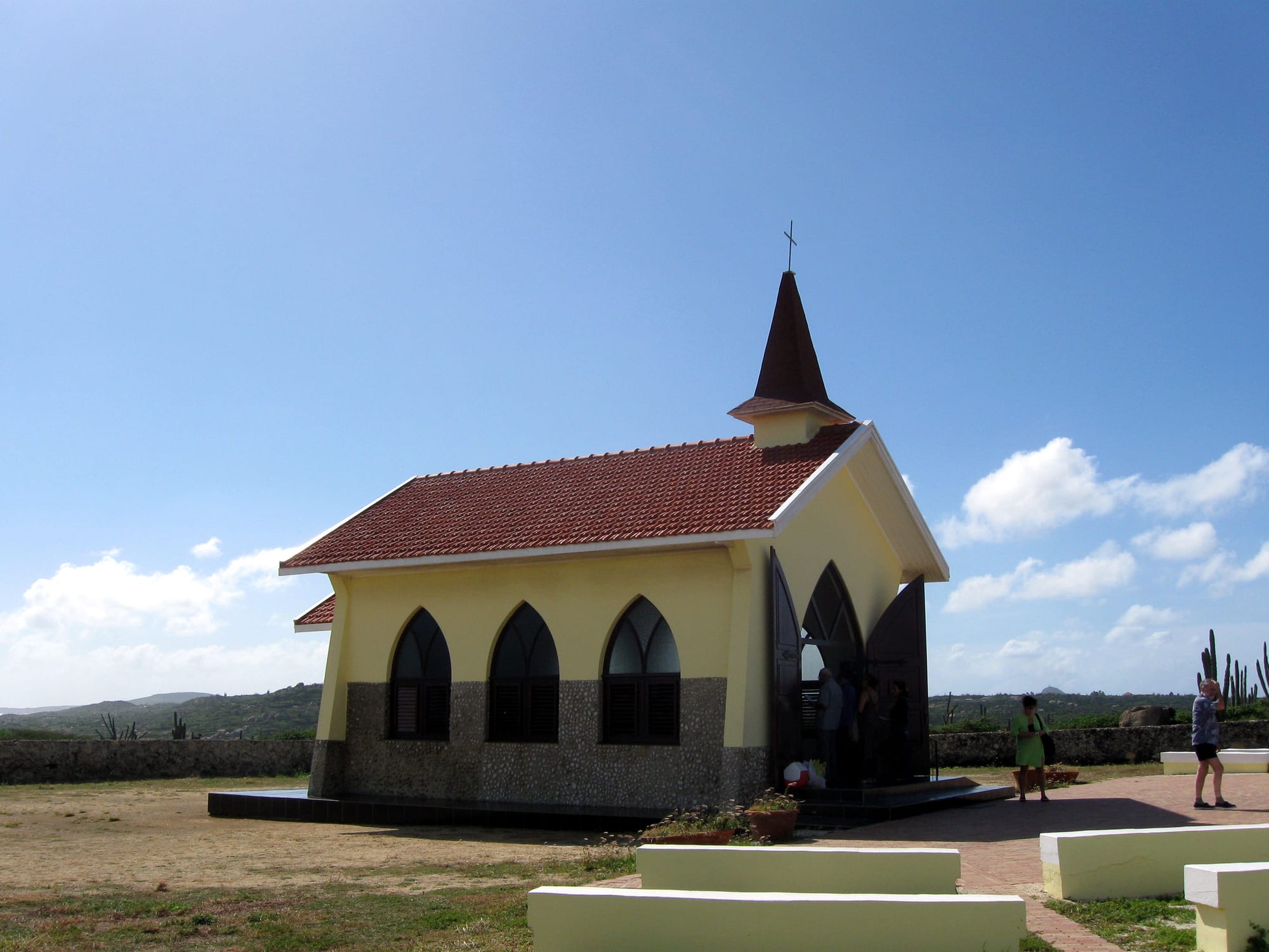
A small, vivid-yellow Catholic chapel stands by itself in the cactus on the north coast, reached by a winding lane lined with white crosses. The current building is from 1952, but it marks the spot where Spanish missionaries and the island's remaining indigenous people built Aruba's first church in 1750, before the town of Oranjestad existed.
It is still an active pilgrimage site, and the quiet, the sea view, and the approach road make it a worthwhile stop on a north-coast loop.
7. The Ayo and Casibari rock formations
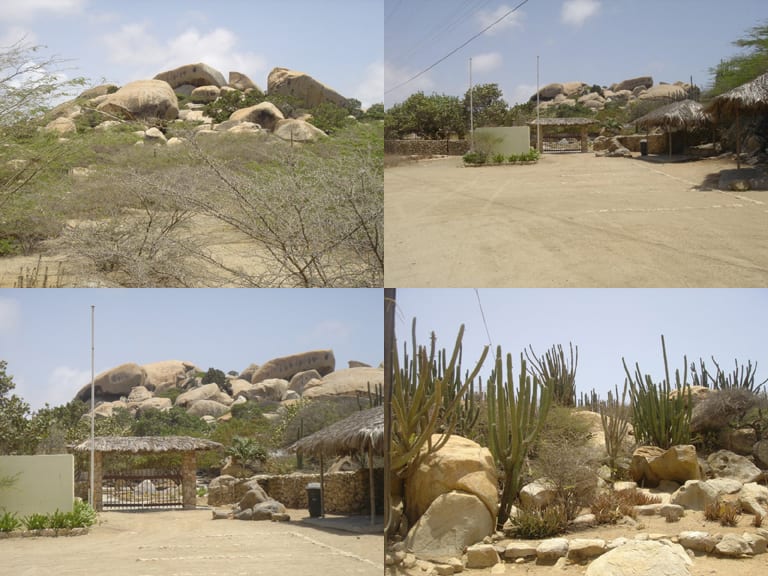
In the middle of the island, two clusters of enormous rounded boulders rise unexpectedly from the flat scrub — Ayo and Casibari, a few kilometres apart. Geologists debate how they formed; the Arawak treated them as special places and left petroglyphs on some of the rocks at Ayo.
Both have short trails and steps threading up between and over the boulders to viewpoints across the island. Casibari is the more developed, with a small visitor area; Ayo is quieter and has the rock art.
8. Bushiribana Gold Mill and the north coast
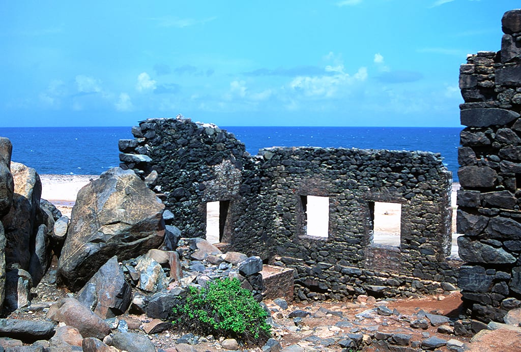
Gold was found on Aruba in 1824, and for the rest of the century it was a serious business. The roofless stone hulk of the Bushiribana smelter, built in 1872, still stands on the windward coast, its walls and arches framing the sea — a popular photo stop on the rough coastal track.
Nearby are the collapsed remains of Aruba's famous Natural Bridge (it fell in 2005), a smaller "Baby Bridge" still intact, and the blowholes at Andicuri Bay. The other gold ruin, Balashi in the south, is grander but harder to visit.
9. Baby Beach and San Nicolas
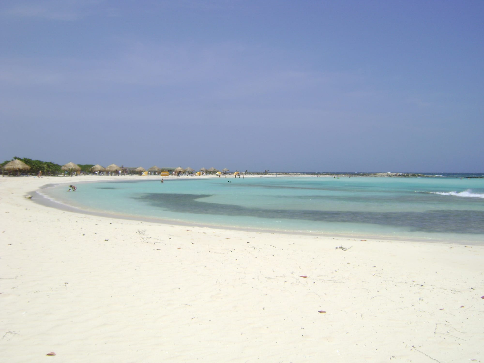
At the far southeastern end of the island, Baby Beach is a shallow, near-circular lagoon protected by a rock breakwater — warm, calm, and waist-deep a long way out, which makes it the family and beginner-snorkelling beach. There is a snack bar and shade huts; the reef along the outer edge has more to see.
The nearby town of San Nicolas, once the company town for a huge oil refinery, has reinvented itself with a district of large street murals and a carnival tradition, and is worth a wander.
10. Oranjestad and Fort Zoutman
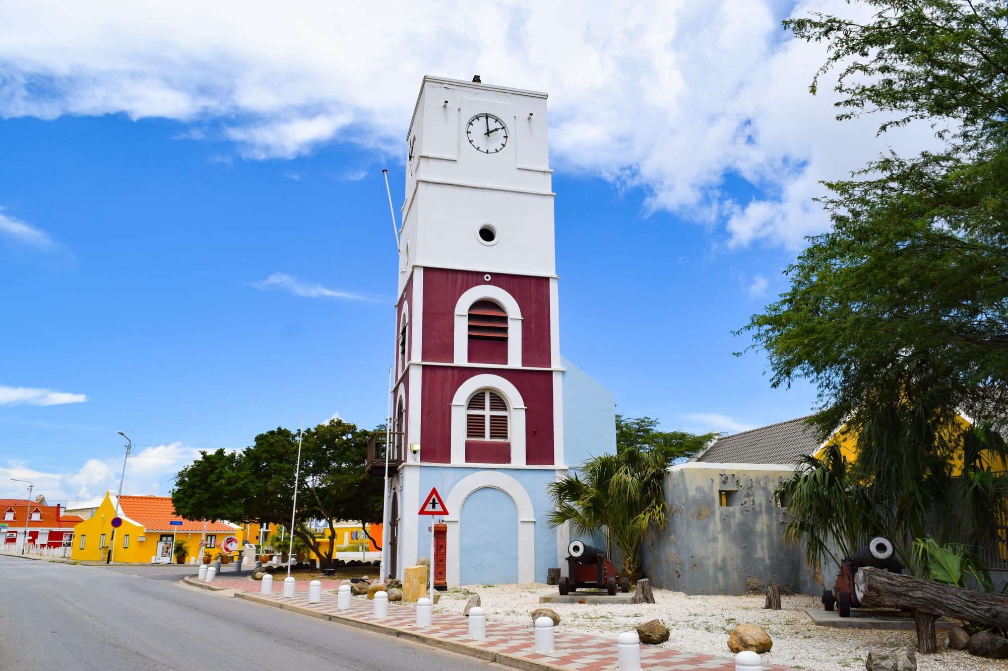
Aruba's capital is a small, walkable port town of Dutch-Caribbean architecture painted in sherbet colours, with a tram running down the main street from the cruise dock. Its oldest structure is Fort Zoutman, built in 1798, with the Willem III Tower — part lighthouse, part clock tower — added in 1868; together they house the Historical Museum of Aruba.
Add the Archaeological Museum, the pastel main street of Caya Betico Croes, and the Monday-night Bon Bini Festival of music and food at the fort, and the town is an easy half-day.
Aruba is a short trip that splits neatly in two: a few days on the calm coast for the beaches, and one hard day in a Jeep on the wild side for everything else.